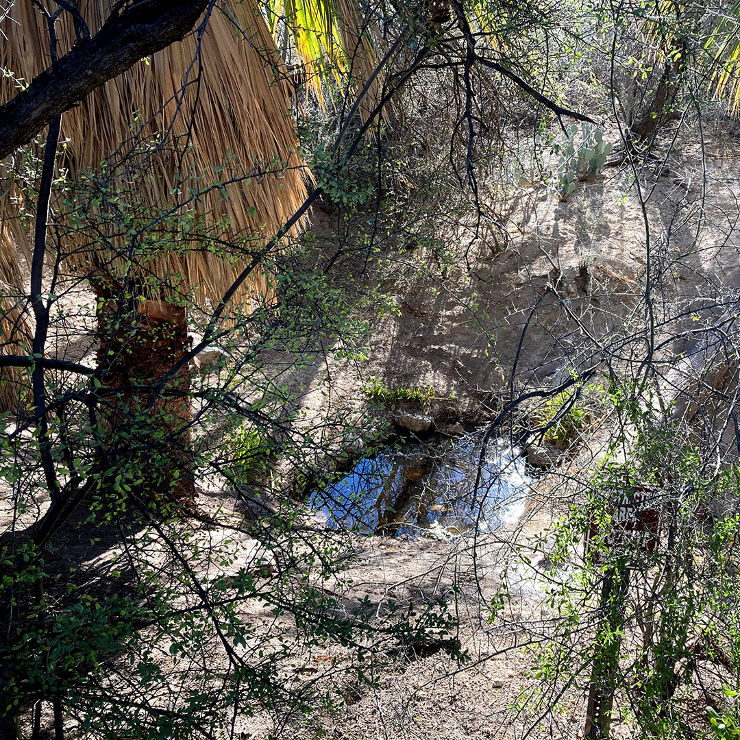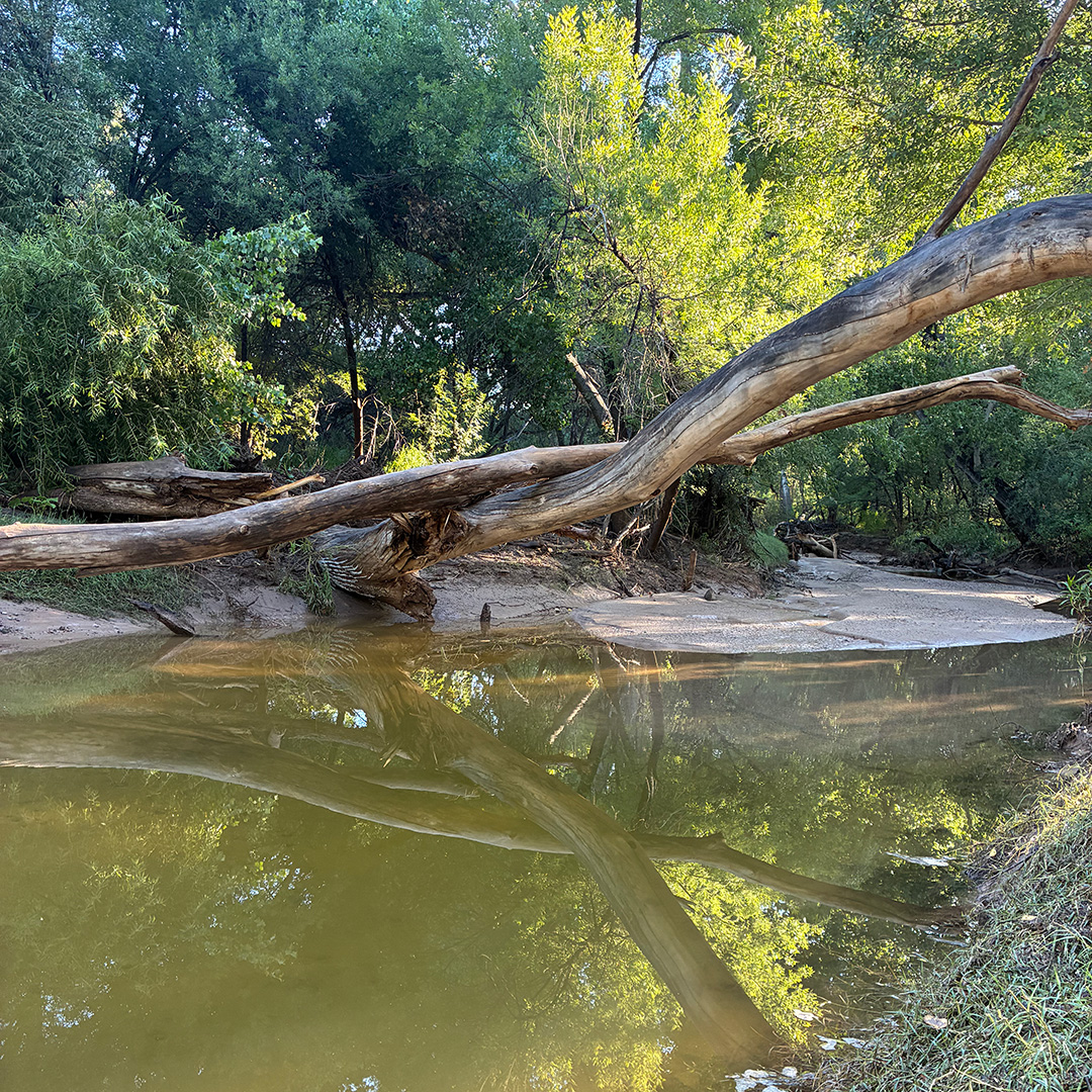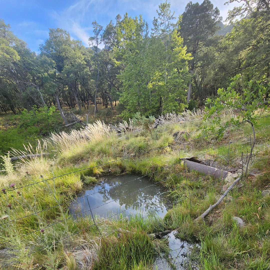
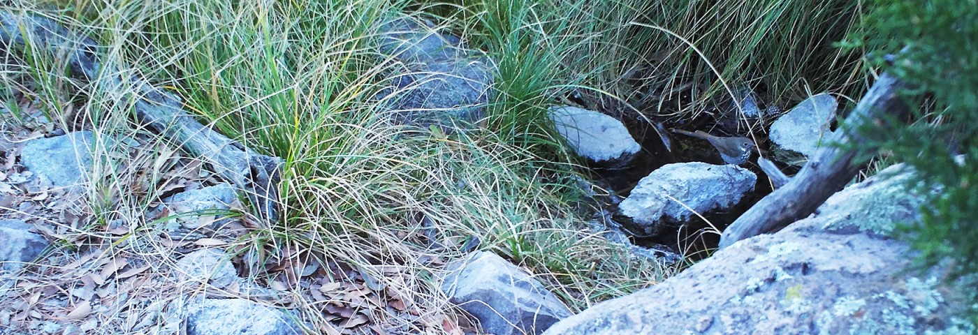
Calling all birders in the Sky Islands! Springs Bird Watch is a new bird-monitoring project to document the region’s avian diversity and the water sources that birds and other wildlife depend on, from low desert to upper pines. Learn more below about this new community science effort and how you can help by submitting an eBird checklist at a Sky Island spring site during seasonal bird counts. These data will help us better understand bird diversity at springs and reveal how our spring restoration projects support wildlife over time. Springs Bird Watch is funded in part by the Santa Cruz Valley National Heritage Area.
Project Contact: Eamon Harrity, Wildlife Program Manager
About Springs Bird Watch
Springs and ciénegas are among the rarest and most biologically important ecosystems in the Southwest. They provide essential water and habitat for birds, pollinators, and other wildlife throughout the year. Yet climate change, land use decisions, cattle grazing, groundwater pumping, and invasive plants all threaten the persistence of these precious surface waters in our region.
Across North America, bird species of all shapes and sizes have declined dramatically in the past 60 years. Populations of birds in the arid Southwest have declined by roughly 20% since the 1970s, according to research published in Science. Given these declines and the dependence of many of these species on our scarce water sources, it’s more important than ever to protect springs and document the birds that visit them.
With your help, Sky Island Alliance will conduct bird surveys at springs throughout the region, with a focus on species diversity, seasonal use, and bird response to habitat change before and after restoration. These surveys will help us evaluate the effectiveness of restoration work while building a stronger understanding of how spring ecosystems support both resident and migratory wildlife.

Ready to Get Involved?
We’d love to have you as part of Springs Bird Watch! To get involved, you’ll visit a spring site and submit an eBird checklist using the eBird app on your phone. You can do this once or at multiple spring sites — and, if inspired, you can submit an eBird checklist at the same spring during different times of the year. Any combination helps.
- Step 1: Join the Springs Bird Watch email list to get updates on the project, bird sightings, and results.
- Step 2: Fill out our Volunteer Agreement and Waiver.
- Step 3: Select a spring to visit. Springs Bird Watch data can be collected at any site in the region where you have permission to access. You can plan your visit by viewing our Springs Map.
- Step 4: Start an eBird checklist when you arrive at the spring and bird for at least 15 minutes, counting and identifying all the birds you can in the vicinity of the spring/water source.
- Step 5: Submit an eBird checklist and share with “SkyIslandAlliance” in the app.
Frequently Asked Questions
-
If I’m not sure if the water source is a spring, should I still complete an eBird checklist?
Yes! Please go ahead and submit an eBird checklist from any waters in the Sky Island region. Please include a brief description of the water source in your checklist comments so we have a sense of the type and permanence of the water source.
-
Can I use Merlin Sound ID to help me identify birds?
Merlin Sound ID is a helpful tool that you can use while birding to identify bird vocalizations. However, you must verify any species detected by Merlin before including it in your eBird checklist. In other words, you should not include a species detected by Merlin if you did not hear or see it.
-
What is the best time of day to do an eBird checklist?
It is recommended to go birding and collect your eBird checklist between dawn and approximately 10 a.m.
-
I forgot to share my eBird checklists with Sky Island Alliance when I was birding. Can I still share my observations?
Yes. You will need to edit the checklist on ebird.org to share the checklists after submission. Open your account on ebird.org either on your phone or a computer, navigate to submitted checklists, click on the checklist of interest, and select share to add SkyIslandAlliance.
-
Should I include species I observed from the parking lot or during my hike to the spring?
No. Please limit your eBird checklist to birds observed in the vicinity of the spring site. You are welcome to create separate checklists for the birds you observe on your way to/from the spring site.
-
I don’t use eBird. Can I still participate?
Yes. If you do not have eBird, you can still participate by sending Eamon an email at eamon@skyislandalliance.org with your observations. Please include in the email a detailed location description with coordinates of the site, a complete list of species and counts (if possible), the time you started birding, and the time you finished birding.
Recommended Birding Sites in the Greater Tucson Area
-
Agua Caliente Spring — Agua Caliente Regional Park
The park is located at 12325 E Roger Rd, Tucson, AZ 85749. Park hours are from sunrise to sunset. The gates are closed and locked after hours, so please plan accordingly. The spring is the source for the stream that feeds the large ponds at the park and is visible directly to your left (to the south) when you walk into the park from the parking lot. Please respect park rules and do not cross the fence. For your survey, select “Agua Caliente Spring” as your location.
-
Caseco Spring — Santa Catalina Ranger District, Coronado National Forest
The spring is located near Catalina Highway on Mt. Lemmon, close to Sollers Cabin. Parking options include this highway pullout or on Forest Road 13 before the locked gate (do not block the gate). After walking past the gate, it will be a half-mile walk along a well-maintained dirt road with only slight elevation gain. The spring will be about 15 feet downslope on the left side of the road, before a sharp turn in the road and before you reach Sollers Cabin. For your survey, select “Caseco Spring” as your location.
-
Posta Quemada Spring — Colossal Cave Mountain Park
The spring is located at La Posta Quemada Ranch within Colossal Cave Mountain Park at 16721 E Old Spanish Trail, Vail, AZ 85641. Park entry is free and hours are 8 a.m. to 4 p.m. daily. When entering the ranch, park on the east end of the large dirt lot with a cowboy statue. Take the Gale Bundrick Trail for about 500 feet from the parking lot into Posta Quemada Canyon. After you cross the stream using the stairs, walk until you find the metal handrails on your left that lead you down a smaller trail to a pink concrete bench near the stream. For your survey, select “Posta Quemada Spring” as your location.
-
Cienega Creek — Pantano Townsite Conservation Area
This site requires a free hiking permit for entry from Pima Flood Control. Visit their permitting website; once requested, the permit will be sent automatically over email with a permit number. Parking for this riparian area is located within the Pantano Townsite Conservation Area at 19500 E March Station Rd, Vail, AZ 85641 and a higher-clearance vehicle is recommended. Follow the dirt road until you cross over the train tracks and park before a white locked gate. Pass over the gate and sign in on the Pima County binder that’s located in a mailbox to the left of the gate. Hike to the riverbed and head west until this starting point, then start the survey and walk 0.5 miles. For your survey, select “Cienega Creek East” as your location.
More Springs to Explore
Springs Bird Watch data can be collected at any site in the region where you have permission to access. You can plan your visit by viewing our Springs Map. Below are just a few examples from different mountain ranges.
-
French Joe Spring — Whetstone Mountains, Sierra Vista Ranger District, Coronado National Forest
-
Sprung Spring — Santa Rita Mountains, Nogales District, Coronado National Forest
-
Cascade Spring — Mt. Lemmon, Santa Catalina Ranger District, Coronado National Forest
-
Ash Spring — Chiricahua Mountains, Coronado National Forest
-
Lewis Springs — San Pedro Riparian National Conservation Area
-
Hospital Flat Spring — Pinaleño Mountains, Coronado National Forest
-
Sycamore Spring — Huachuca Mountains, Sierra Vista Ranger District, Coronado National Forest