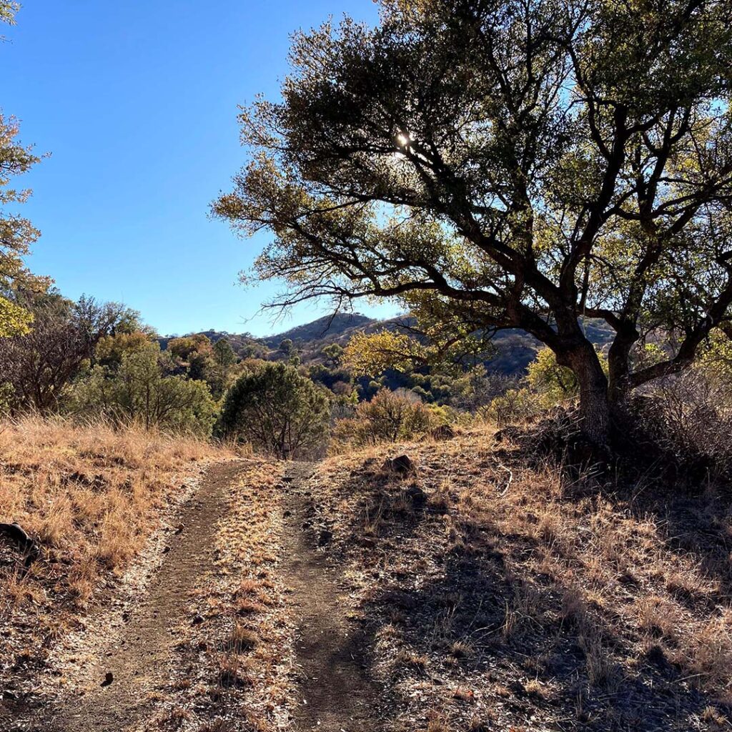
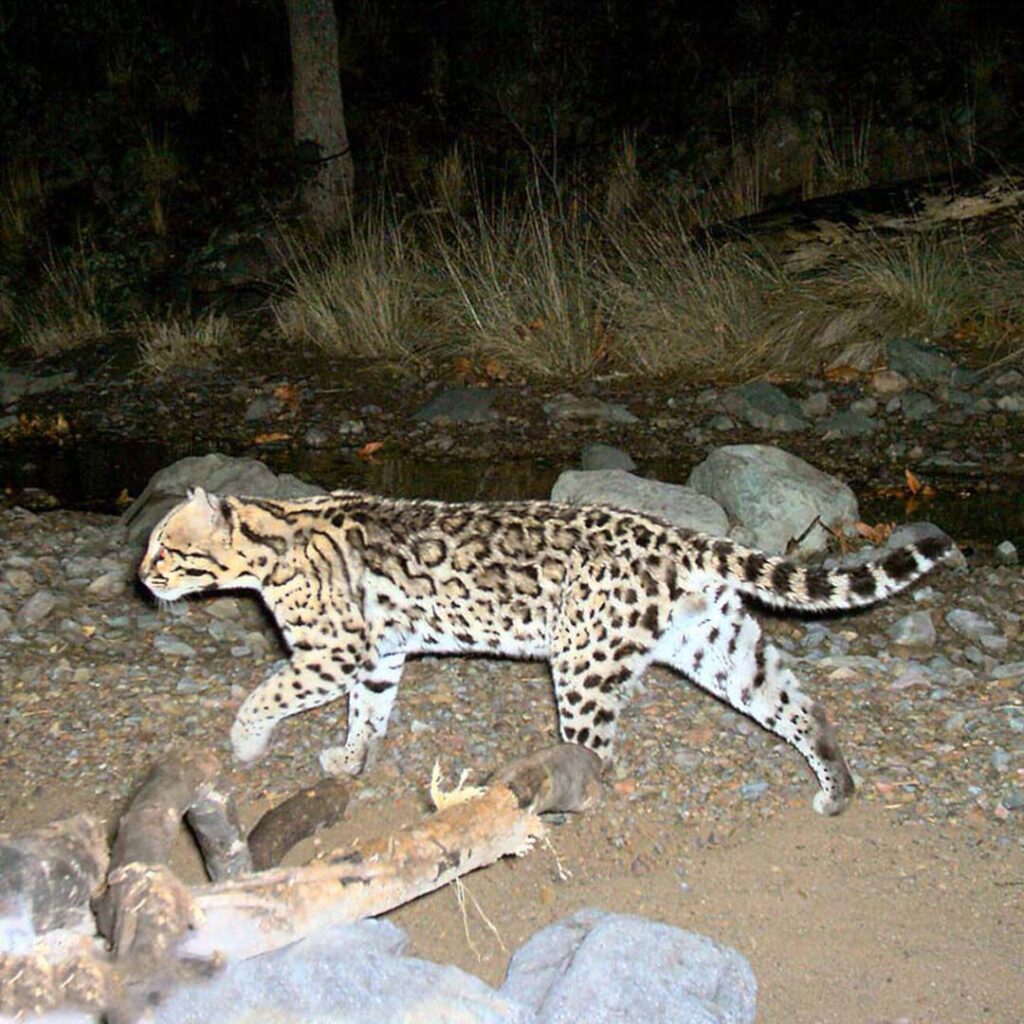
We need your help for a project in one of the most important wildlife corridors in the Sky Islands — an area that’s home to a wide range of species, from endangered jaguars and ocelots to black bears.
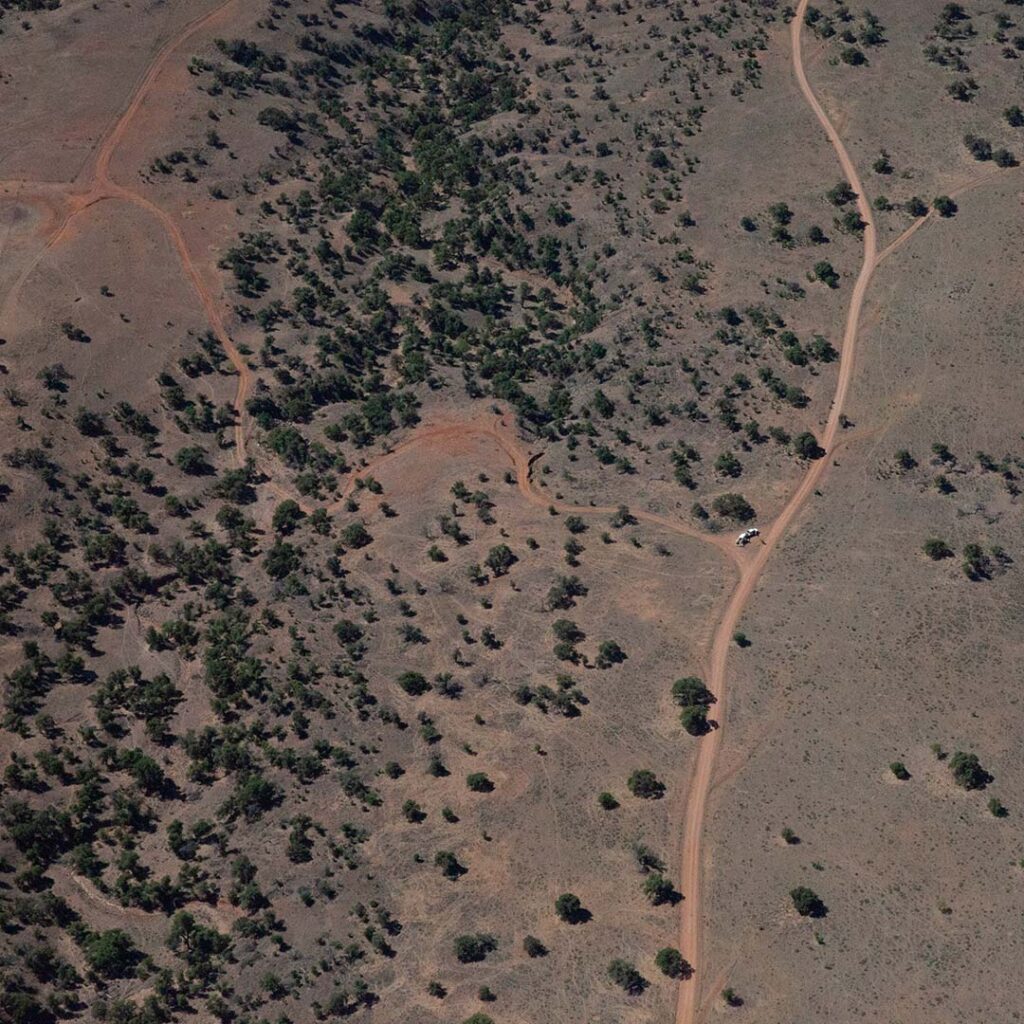
In 2019, after a years-long public process, the Coronado National Forest decided to close 160 miles of old roads within southern Arizona’s Sierra Vista District that no longer served the needs of the forest or visitors (see the red segments in the map below). These “administratively decommissioned” roads are now technically not for travel. But work remains to physically block access or renaturalize the roadbeds. In the meantime, many of the roads continue to be used regularly, allowing vehicle traffic in otherwise isolated areas, spreading invasive species, disturbing wildlife, and contributing to erosion.
That’s where you and other volunteers come in. Sky Island Alliance is partnering with the Forest Service and Borderlands Restoration Network to survey as many of these red road segments as possible to see what issues exist and to decide which roads to prioritize for restoration. If you’d like to join us, explore the map below and then take the following steps. (You can also watch this virtual Coffee Break for a walk through.) We envision this as a choose-your-own-adventure way to help protect the areas you love, something that could be done solo or with friends while driving, biking, hiking, etc.
Starting in April 2024, we’ll also begin on-the-ground work to physically close roads and plant native seeds. See our events calendar for upcoming volunteer trips.
If you haven’t done so already, first sign this volunteer waiver.
Check out this map, also embedded below, to find red road segments in the Huachuca Mountains that haven’t yet been surveyed (if already completed by someone else, blue diamonds will show up at the road entrance and potentially along a segment’s length). Our priority this fall, during the project’s first phase, is to survey all red segments within zone B, but any surveys within zones A-V would be a huge help. To choose a section to survey, find a red segment within the map. Note which zone the red segment is in and also the route number, which is labeled in black. You’ll use this info when signing up in the next step.
Visit this signup sheet and find the relevant zone in the first column. Then, within that zone’s set of rows, find the route number (RTE_NO) you wrote down. Enter your name and the approximate date you intend to survey in the corresponding row.
Download the free app ArcGIS Field Maps to your smartphone (Android | Apple).
Log in to ArcGIS Field Maps on your phone under one of these four logins by selecting “Sign In With ArcGIS Online” and then entering a username/password combination from below. If the first doesn’t work, try another (only three people can be logged in at the same time to each account).
Username
Password
coati_skyisland
RoadDecom3!
bobcat_skyisland
RoadDecom3!
coyote_skyisland
RoadDecom3!
bear_skyisland
RoadDecom3!
You should see the Road Decom map. Tap on the three dots next to the name of the layer Road Decom. This is how you will download offline maps.
Choose “Add Offline Area” and navigate to the area you plan to visit. (The box to download offline starts small — so for the “Level of detail” choose something bigger like “building” to download the area inside the box.) We recommend downloading any other areas you might need offline to be able to navigate to the area you’ve planned to survey, especially if you don’t have another navigation tool you’re comfortable with like Gaia or ONX. You can download as many offline areas as you like! You can also delete them once you’re done.
In Settings for the ArcGIS Field Maps app, please toggle “Cellular Data” to On. This means that when you’re in the field, if you have service, you can update the map. This is optional but may make your app behave a little better in the field.
Do not log out of ArcGIS Field Maps. Just navigate away from the app on your phone, and then head out to the field. The app should keep you logged in even as you lose service.
Navigate to the road segment you intend to survey (in many cases, high-clearance vehicles recommended). Once you’ve arrived, open ArcGIS Field Maps on your phone. Then open the Road Decom layer.
Tap the “+” button to add a point when you see something of interest — for instance, the entrance/exit of the road, campsites, or erosion. Take a picture, if appropriate, and answer the questions specific to the reason you’re taking a point there.
Tap submit. Don’t worry if you don’t have service; you can send the points in later.
Hit the three dots next to each offline area you surveyed, and tap “Sync” to send the points in.
Log out of ArcGIS Field Maps by navigating back to the Maps page, clicking on the blue person icon, and selecting “Sign Out” at the bottom of the page, to free up the account.
Submit any photo highlights from your trip (wildlife, plants, landscapes, the survey work itself, etc.) to this shared folder, and we’ll keep them in mind for potential use in SIA communications. And that’s it — you’ve helped bring this area one step closer to protection. We and all the creatures of the Sky Islands thank you in advance!
To see a legend and toggle layers, click the icons in the upper righthand corner of the map.