The Transboundary Madrean Watersheds Landscape Conservation Design (LCD) was developed as part of an effort initiated by the Desert Landscape Conservation Cooperative (Desert LCC). The Desert LCC was a program of the Bureau of Reclamation and the US Fish and Wildlife Service to address large-scale landscape conservation in the southwestern United States and northern Mexico. This collaborative effort brought together managers, stakeholders, communities, and others to work toward sustaining resilient landscapes capable of responding to environmental challenges and supporting natural and cultural values for current and future generations.
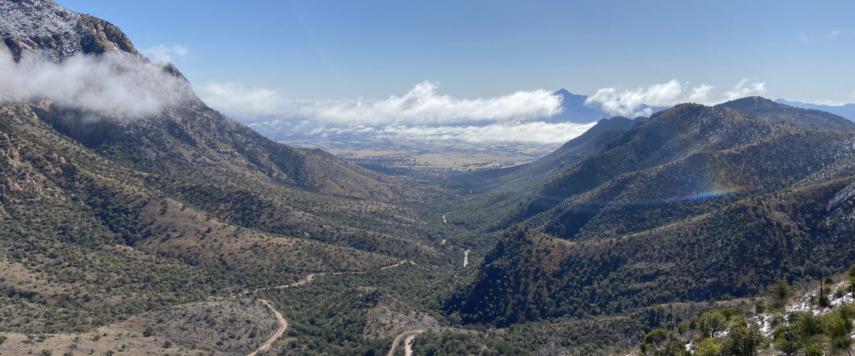
The Madrean Watersheds LCD area spans the states of Arizona, New Mexico, Sonora, and Chihuahua. It is characterized by isolated forested mountains “sky islands” surrounded by a “sea” of intervening grasslands and deserts. Landownership is a patchwork of protected and unprotected public and private lands. In total it covers approximately 22.7 million hectares (56.1 million acres) and over 55 individual Sky Island mountains in the U.S. and Mexico.
Why conservation design?
The Madrean LCD area comprises some of the most rugged and remote landscapes in the American Southwest, and is rich in biodiversity. This unique landscape faces complex challenges into the future, including longer and more extreme droughts, spatial and temporal changes in precipitation, increased groundwater withdrawal, invasive species, changing fire regimes, and expanding human communities. This multitude of environmental and social factors are manifest on large scales that transcend jurisdictions and institutions. Addressing these challenges requires coordinated planning and action at the scale of the issues.
Landscape Conservation Design is a tool to facilitate collaboration across jurisdictional boundaries, developing shared conservation priorities and science needs, and creating strategies to be implemented through partnerships. Landscape Conservation Design involves the integration of societal values with ecological goals to describe where conservation can best be applied to support a resilient landscape. It is an iterative, collaborative, and holistic process to create strategic and spatial products that provide information, analytical tools, maps, and strategies to achieve landscape goals collectively held among partners (Desert Landscape Conservation Cooperative 2016).
Interactive Map Products and Data for Download
Indicators, Ecosystems, Cores, and Connectivity Areas: online map viewer for spatial variables
Download the data:
Excel
Small Watersheds (HUC12)
Forest Cores
Grassland Cores
Connectivity Areas
Shapefiles
Small Watersheds (HUC12)
Forest Cores
Grassland Cores
Connectivity Areas
Reports and Products for Download
Transboundary Madrean Watersheds LCD Final Report 2020
Appendices
- Appendix 1a. Madrean LCD Progress Reports
- Appendix 1b. Conservation Planning and Design Phase 1 Report
- Appendix 1c. Watersheds Partner Workshop Report
- Appendix 2a. Indicator Development Workshop
- Appendix 2b. Connectivity Area Workshop Report
- Appendix 2c. Data Layers Metadata
- Appendix 3a. Climate Change Narrative Scenarios
- Appendix 3b. Climate change Impacts – Management Considerations Framework
- Appendix 3c. Bibliography of Vulnerability Assessments
- Appendix 3d. Bibliography of approaches for incorporating socio-economic indicators in conservation planning
- Appendix 3e. List of potential socio-economic indicators for the Madrean region

