Thanks to all who’ve expressed interest so far in Sky Island Alliance’s collaboration with the U.S. Forest Service. Here are answers to some frequently asked questions regarding the work.
Why are roads being closed in the Sierra Vista District?
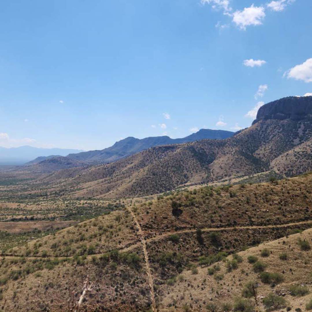
In 2018, a portion of the road network was administratively closed to comply with the Forest Service Travel Management Rule. This decision followed nine years of public involvement, collaboration, and consultation with individuals, groups, agencies, tribes, and local governments, as well as completion of an environmental assessment. In April 2024, physical road closure work will begin in order to discontinue motorized travel on decommissioned roads and aid restoration of grassland and oak woodland habitat.
Do the road closures affect recreational activities in the Sierra Vista District?
No, the road closures do not restrict where non-motorized activities such as hiking, camping, bicycling, and hunting may take place. Additionally, the road closures will not affect dispersed camping.
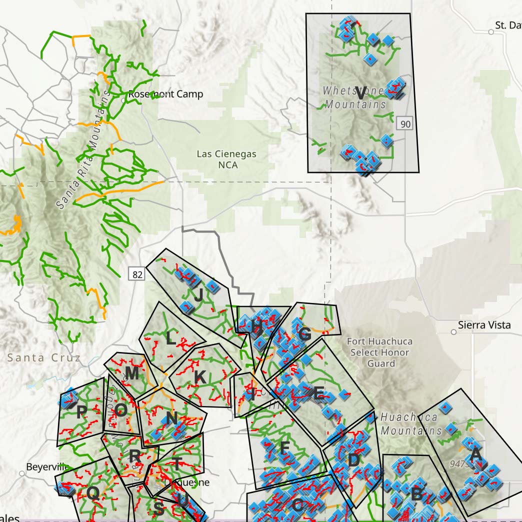
Which roads are being closed?
There are 166.13 miles of roads which will be closed during the implementation of the project. The affected roads may be viewed on the Sierra Vista District Motorized Travel System webpage under Project Documents/Decision.
How will the roads be closed?
Coronado National Forest and Sky Island Alliance will use a combination of techniques to physically close roads, including the installation of signs at road entrances, roughening of road surfaces to loosen compacted soil, distribution of native seeds and vegetation, and placement of physical barricades to prevent vehicle passage.
How long will the project take?
The physical closure project will be underway for at least the next five years. It is expected that the first 13 miles will be closed by April 1, 2025.
How can volunteers help?
Sky Island Alliance is leading volunteers to survey decommissioned roads to help with restoration planning and the physical closure of segments. See an interactive map and learn how to get involved.