


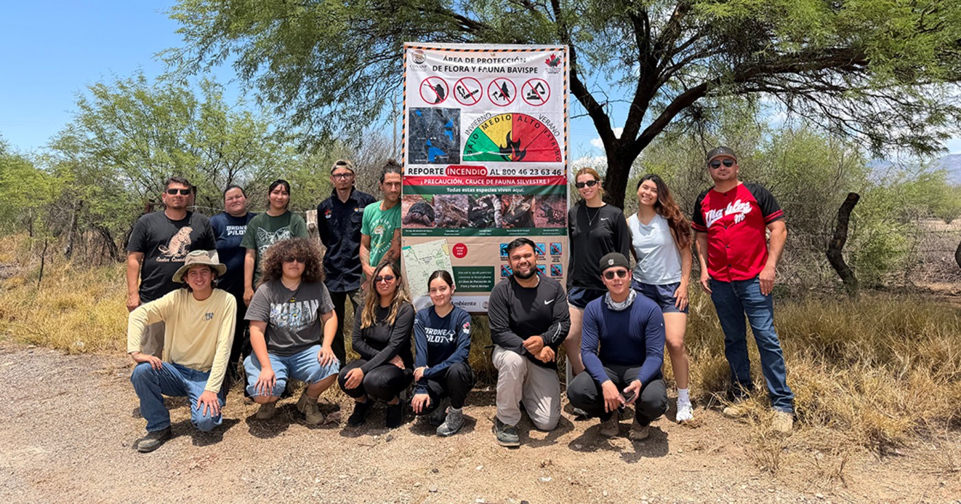
Dariana Valdez and Ximena Velásquez, students of Environmental Sciences Engineering at the Universidad de Sonora and professional interns at Sky Island Alliance, tell us about their experience in Sierra La Madera during one of our expeditions to grow the Spring Seeker project in Sonora.
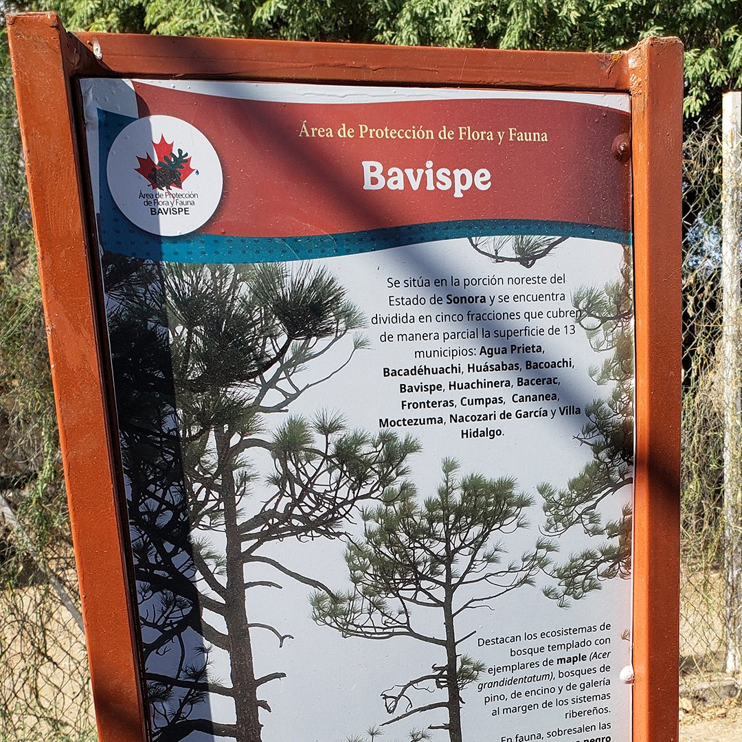
Sierra La Madera is part of northeast Sonora’s Bavispe Flora and Fauna Protection Area, which safeguards key ecosystems and contains vital watersheds. This valuable place is part of the Sky Islands, where we can find extensive biodiversity, including impressive animals like bears and jaguars.
On June 11, we traveled to Moctezuma to meet with the Sky Island Alliance team to discuss the plan and routes our group would be covering in Sierra La Madera. The next day, we loaded up the cars to set out on the trip, along with staff from CONANP ( Mexico’s National Commission of Natural Protected Areas). It was a three-hour journey to reach the top of a mountain, next to the antenna that provides signal to the surrounding towns.
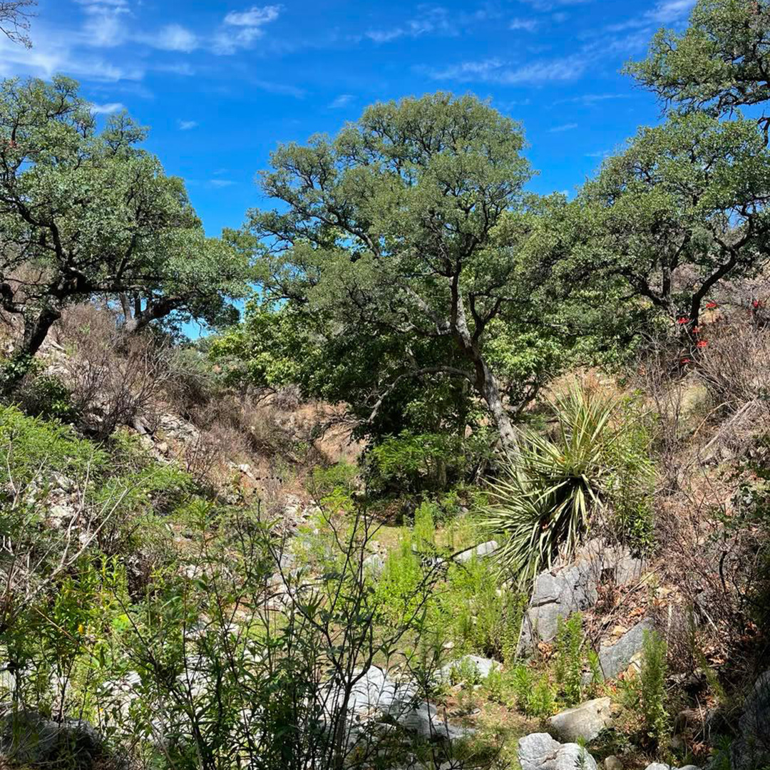
When you think of a sierra, you might picture it as an enormous mountain range, out of reach for people — a distant, almost forbidden place where only wildlife converges and lives within its surroundings. And who wouldn’t want to venture into such a marvelous place? We made our way to the highest point of Sierra La Madera with the goal of finding freshwater springs that surface within the canyon, where water flows and narrows into rocky channels. The route was a landscape of distinct ecosystems converging in the same space. We made our way into a pine forest that led to an oak forest, then we moved through grassland and rocky terrain until reaching open desert made up of scrubland in the lower part of the sierra. Witnessing these transitions as we walked helped us understand why this is such a vital natural area. This exchange between ecosystems is due to the elevation change across Sierra La Madera, which causes the temperature to drop and humidity to rise, giving way to a shifting mix of ecosystems that connect the highest parts of the sierra with semi-arid plains.


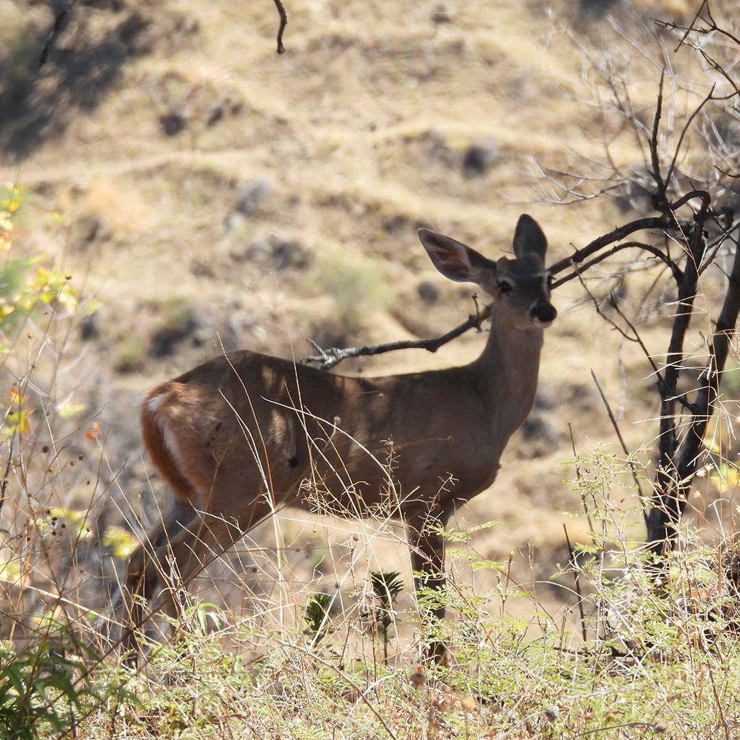
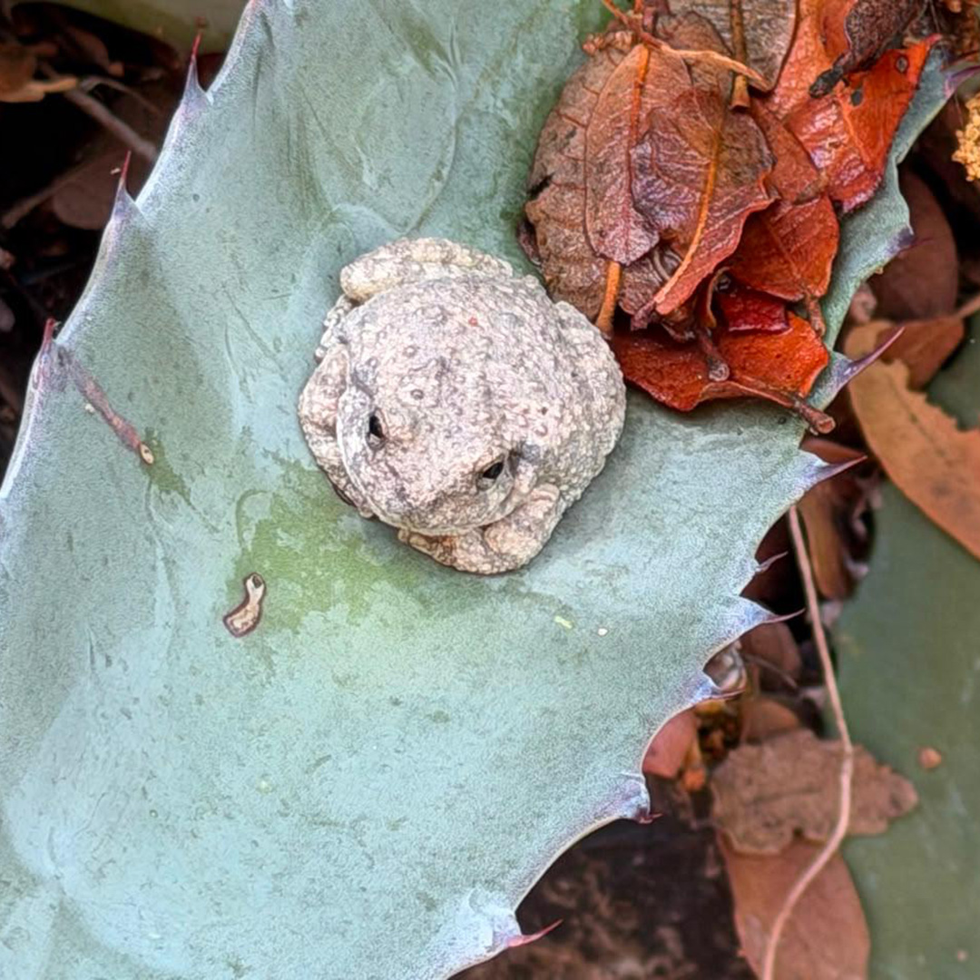
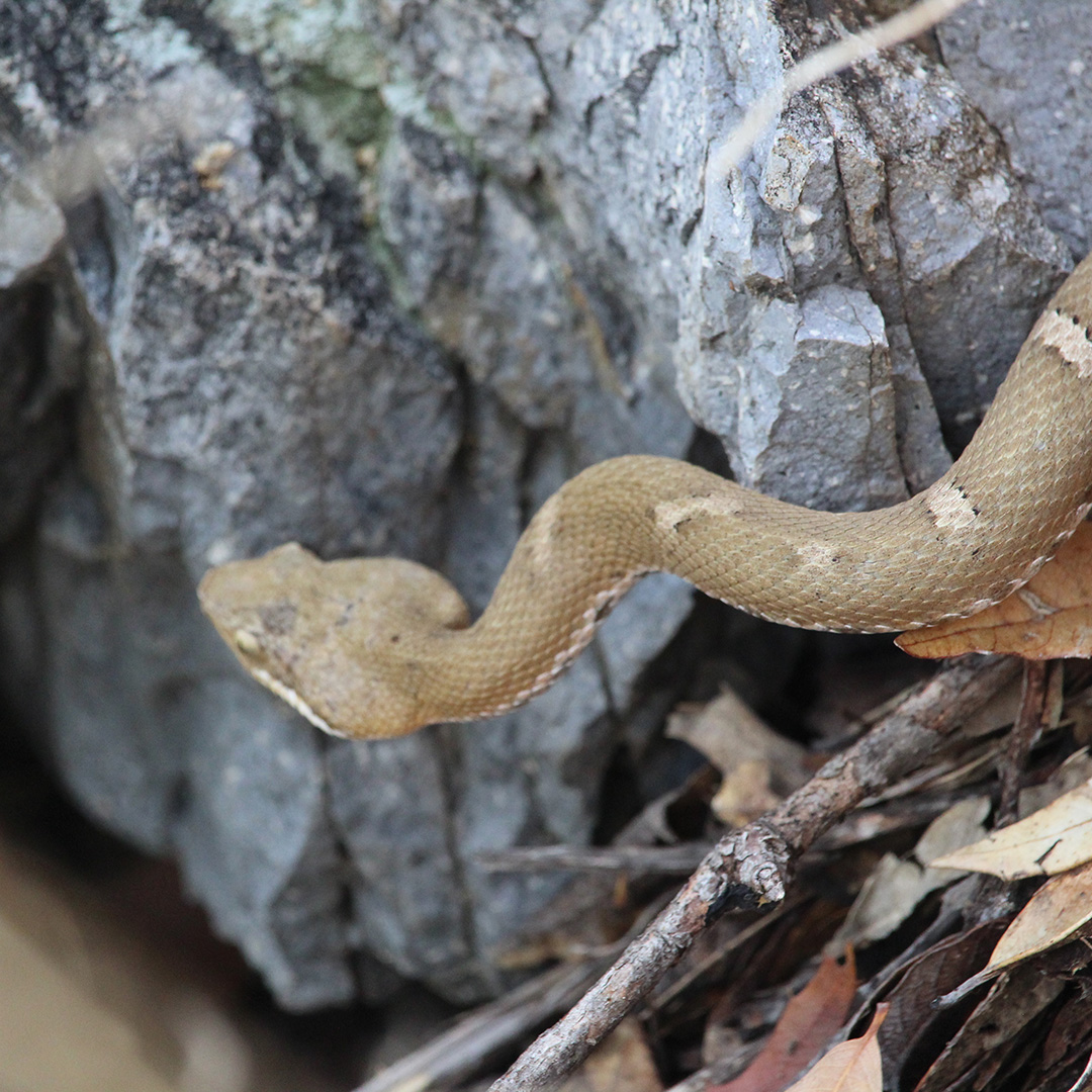
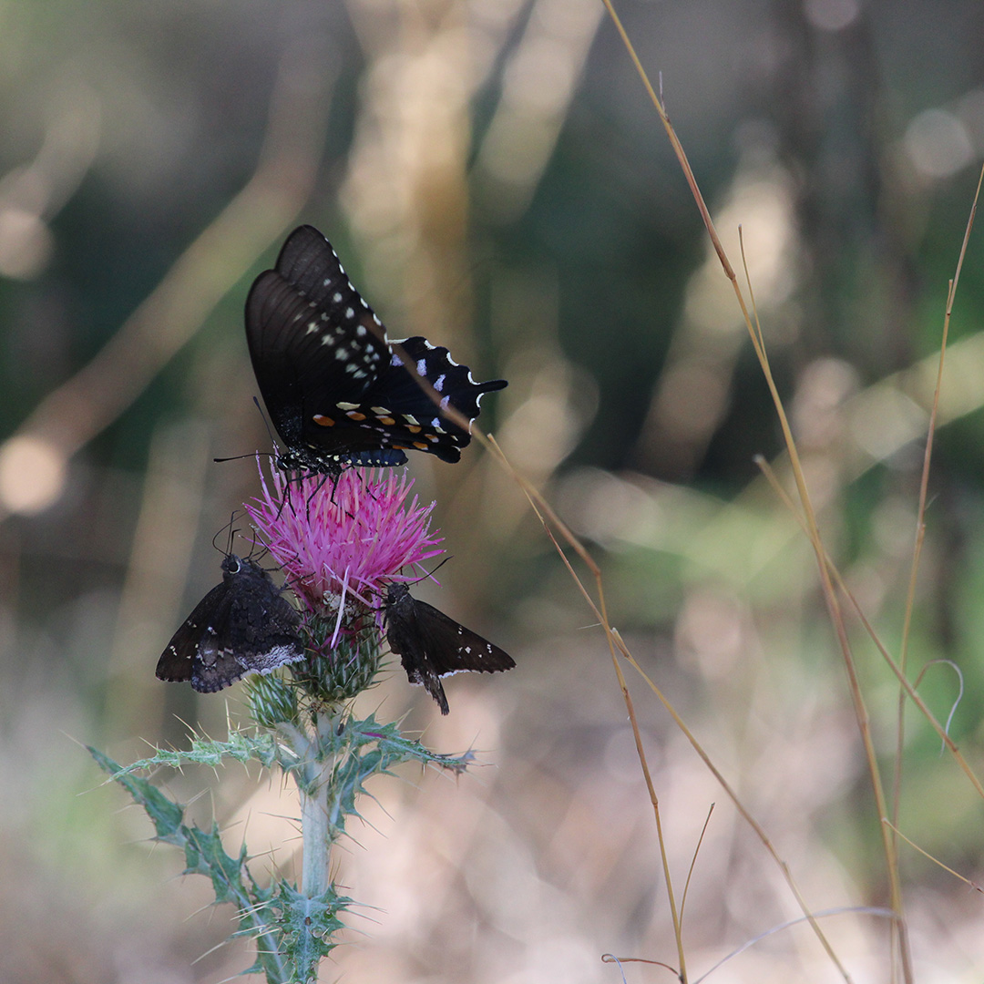
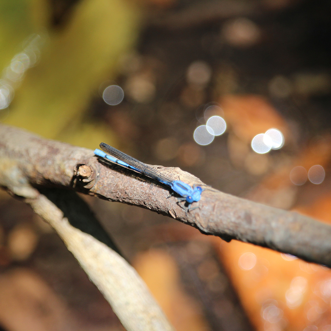
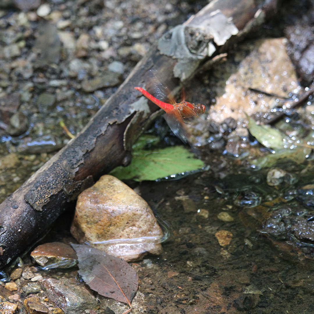
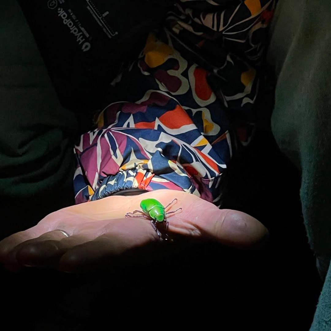
During our search for springs, we came across everything from droppings and skeletons to amphibians, insects, and mammals that live in the area. We spotted white-tailed deer (Odocoileus virginianus) in the higher elevations, amphibians like the canyon treefrog (Hyla arenicolor), and the skeleton of a ringtail (Bassariscus astutus). We were amazed by the variety of species that coexist and provide each other food within the sierra; they served as our compass in the search for natural water sources.
How did the springs come to reach the sierra’s most hidden corners? This is where the magic emerges, held within the rocks for centuries — Sierra La Madera is composed mainly of volcanic rock formed from the consolidation of hot ash and rock fragments. Thanks to this composition, during the rainy season, the porous, rocky soil acts like a sponge, keeping the water from running off completely and instead allowing it to seep through the rock’s fractures until it reaches underground aquifers.






We’ve all heard that water always finds a way, and here, it finds one when it’s forced to seek an outlet toward the surface. This happens when infiltrated water meets layers of less permeable rock; this gives rise to springs, seeps, and even runoff within the ravines.
In the higher elevations, where the pine and oak forests are found, the soil behaves differently — it retains a lot of moisture thanks to organic matter, and the water infiltrates into the ground. In the lower elevations, water surfaces mainly where the ravines narrow and deepen. We found perennial springs in these lower zones, which receive a constant discharge of hydrostatic pressure from across the sierra.
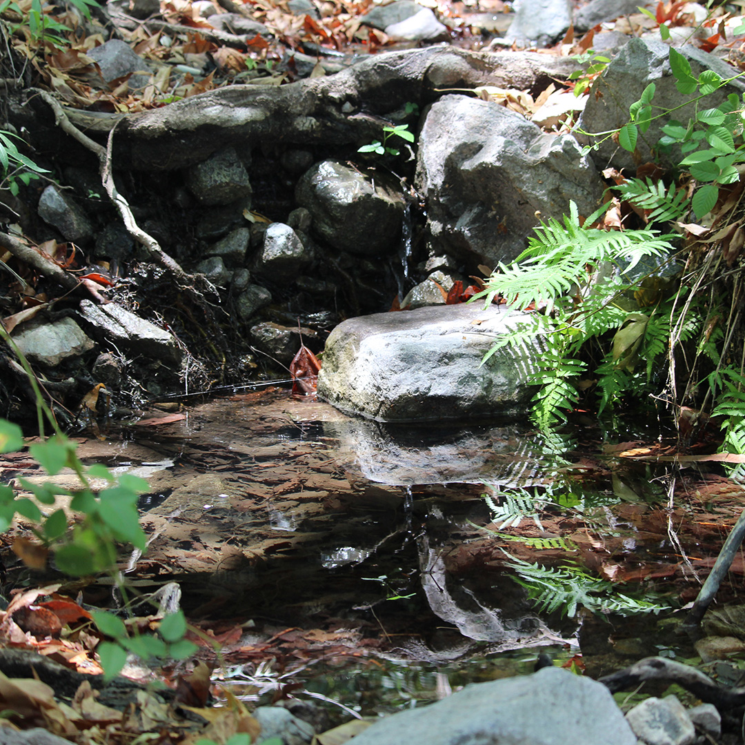
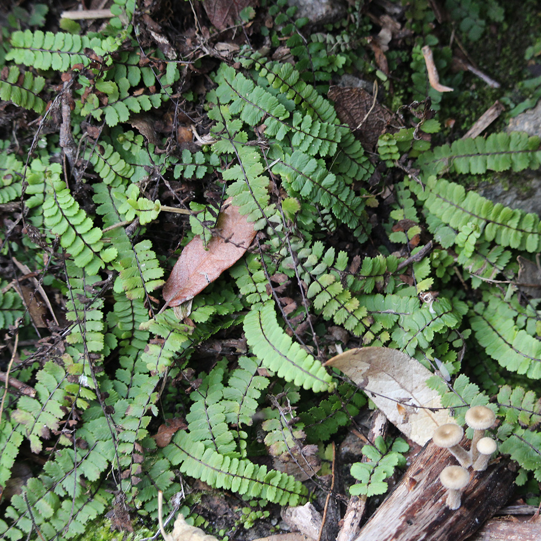
The landscape was beautiful — we loved watching how, around a spring, the vegetation transforms completely, and how scrubland or dry oak abruptly gives way to small oases of moisture. Here, we found mosses, ferns, willows, and small species that make use of the surface water.
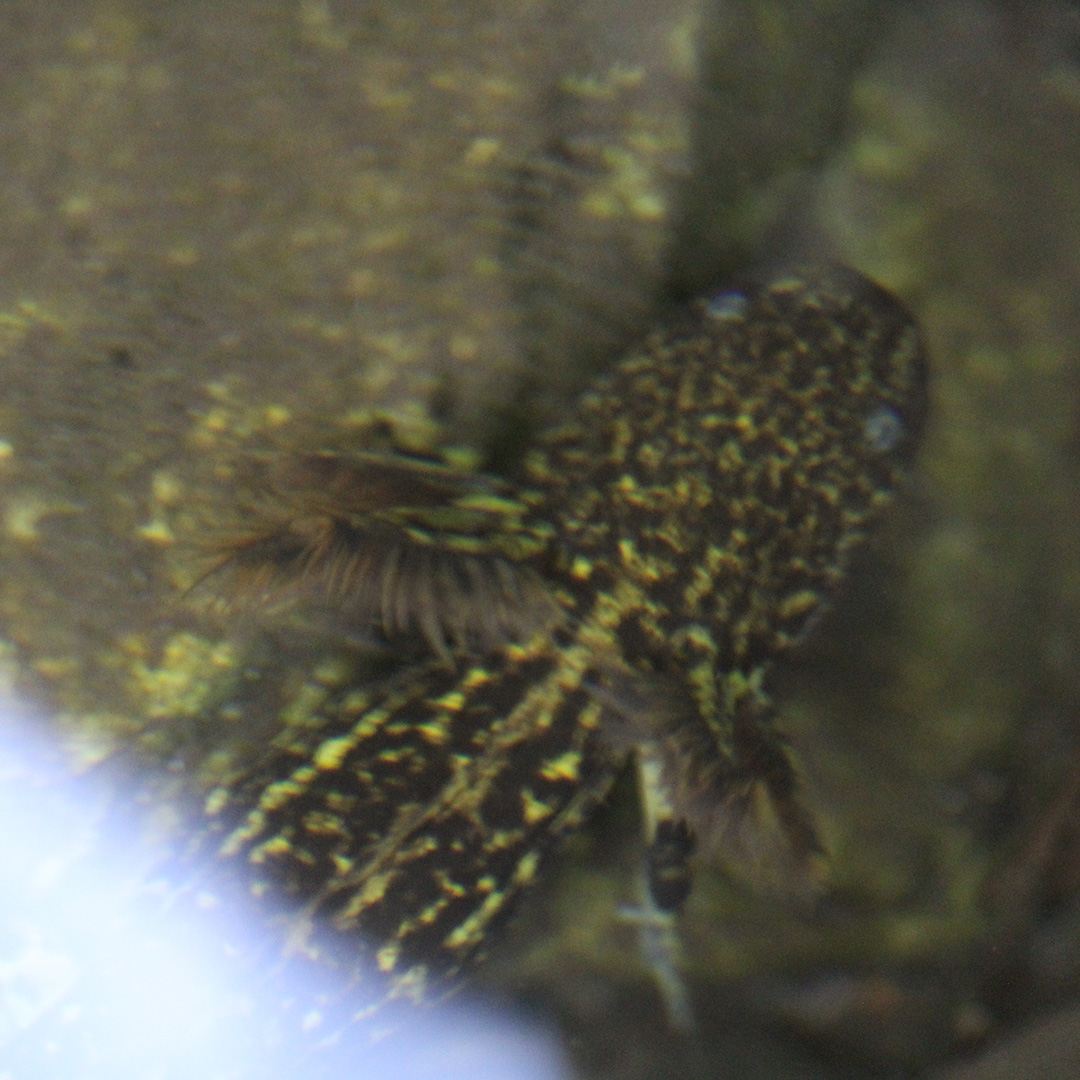
Being able to track down these springs was a fun challenge; every detail was a small clue. Often, before seeing the water actually emerge, the way forward was revealed by the greenness of the surrounding vegetation, the insects or amphibians present, and the song of birds.
On Saturday, June 13, we began our activities. We split into three groups based on the difficulty of the route — not in terms of terrain or slope, but rather the distance each team would cover. It was fun to venture into the forest, where human’s presence hasn’t fully taken hold. Every stretch felt significant, as the ecosystem kept shifting. It was an enriching experience that gave us the chance to see firsthand and understand how watersheds work.
The Sky Islands in Sonora are where most of the rivers that supply water to the rest of the state originate. In the case of Sierra La Madera, this is where the Río San Miguel is formed. This river originates specifically on the eastern side of the sierra, through a runoff channel known as the Arroyo Las Rastras. The Río San Miguel flows from north to south and later joins the Río Sonora. This is why these annual spring-monitoring activities are so important — it’s not just about knowing how many springs there are and how much water they hold at these key points for wildlife, but also about gathering this knowledge to help predict the behavior of the rivers that so much of the state’s population depends on.