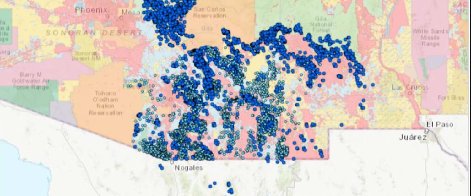
The Spring Seeker Waters map contains springs and other water sources that can be found in the Sky Islands. On this page, explore the map to see which springs have already been documented!
The Spring Seeker Waters map (also embedded below) contains springs and other water sources that can be found in the Sky Islands of the U.S. and Mexico. Also shown on this map are springs that have already been surveyed using the Spring Seeker app. If you would like assistance in planning a trip to a spring or if you have any other questions about this project, please reach out to SIA’s Habitat Conservation Manager Sarah Truebe.
Please note this map is constantly being updated. We have also omitted data from any locations where information must be protected, such as tribal lands. We recognize that all springs on this map are on the traditional land of the Tohono O’odham, Pascua Yaqui, and other Indigenous peoples.

