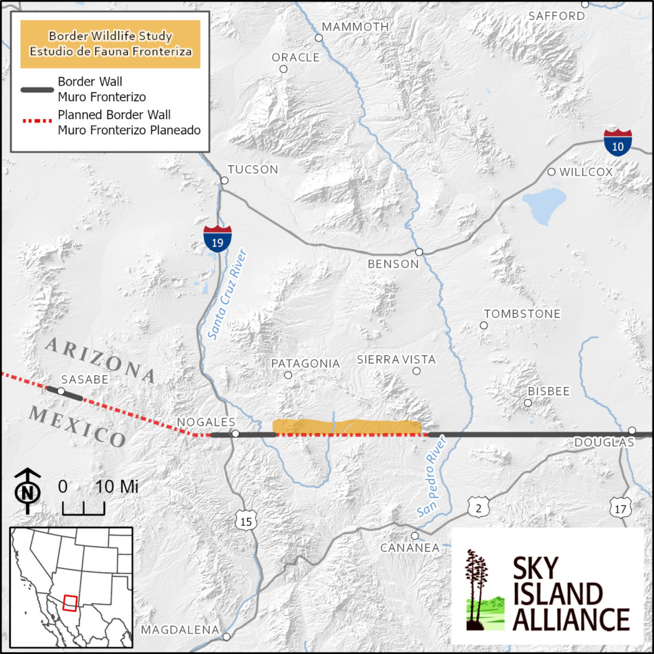
Our Border Wildlife Study is measuring wildlife diversity along 34 mountainous miles of the U.S. border with Mexico in southern Arizona. The camera array spans the foothills of the Patagonia and Huachuca Mountains—two fascinating binational Sky Island mountain ranges! Here are our favorite facts about them:
-
Both the Patagonia and Huachuca Mountain ranges are Sky Islands, meaning they are
mountains surrounded by lower elevation deserts. The Huachuca mountains specifically rise 4,500 feet above the desert below. - The Patagonia Mountains blend across the border into the Sierra San Antonio in Mexico—the same Sky Island range with two names.
- The Arizona Trail is a National Scenic Trail that traverses 800 miles to Utah from its start in the heart of the Huachuca Mountains.
- These Sky Islands have five seasons—spring, dry summer, rainy monsoon, fall, and winter.
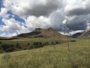
- The grasslands in the foothills of these mountains dominate at 4,000-5,000 feet in elevation,

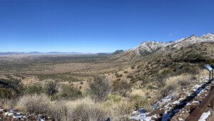
A view looking east from the Montezuma Pass in the Huachuca Mountains, where the Arizona Trail starts
turning bright green in monsoon season and are referred to locally as the Emerald Skirt.
- Mt. Washington is the highest peak in the Patagonia Mountains (7,221 feet) and Miller Peak is the highest in Huachuca Mountains (9,466 feet).
- The peaks are home to evergreen pine forests and in fall you can see the leaves of aspen forests turning yellow and maples turning red on the northern slopes of the Huachuca Mountains.
- The Huachuca Mountains were the likely pathway that male jaguar Yo’oko tookon his journey into Arizona in 2016/2017.
- Currently, border wall stops on the western slopes of the Patagonia Mountains and the eastern slopes of the Huachucas, leaving the interior foothills and the San Rafael Valley between the mountains open to cross-border wildlife passage.
- Sky Island Alliance has surveyed 73 springs across both Sky Islands, including 50 in the Miller Peak Wilderness, to better understand how to protect these vital water sources for wildlife and people.


