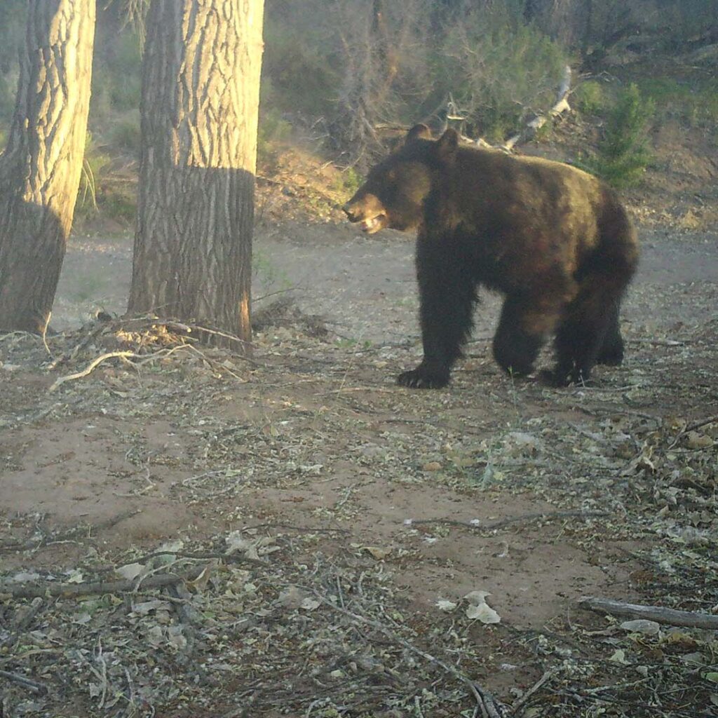
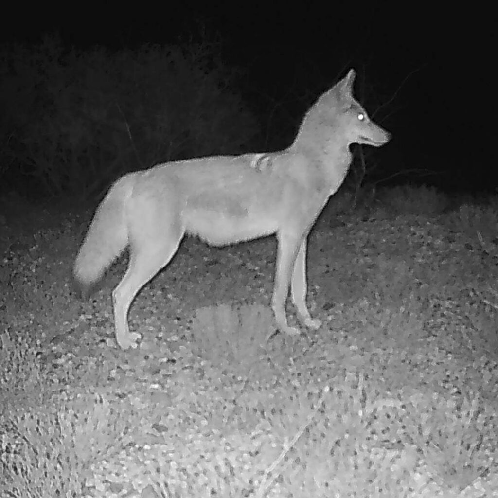
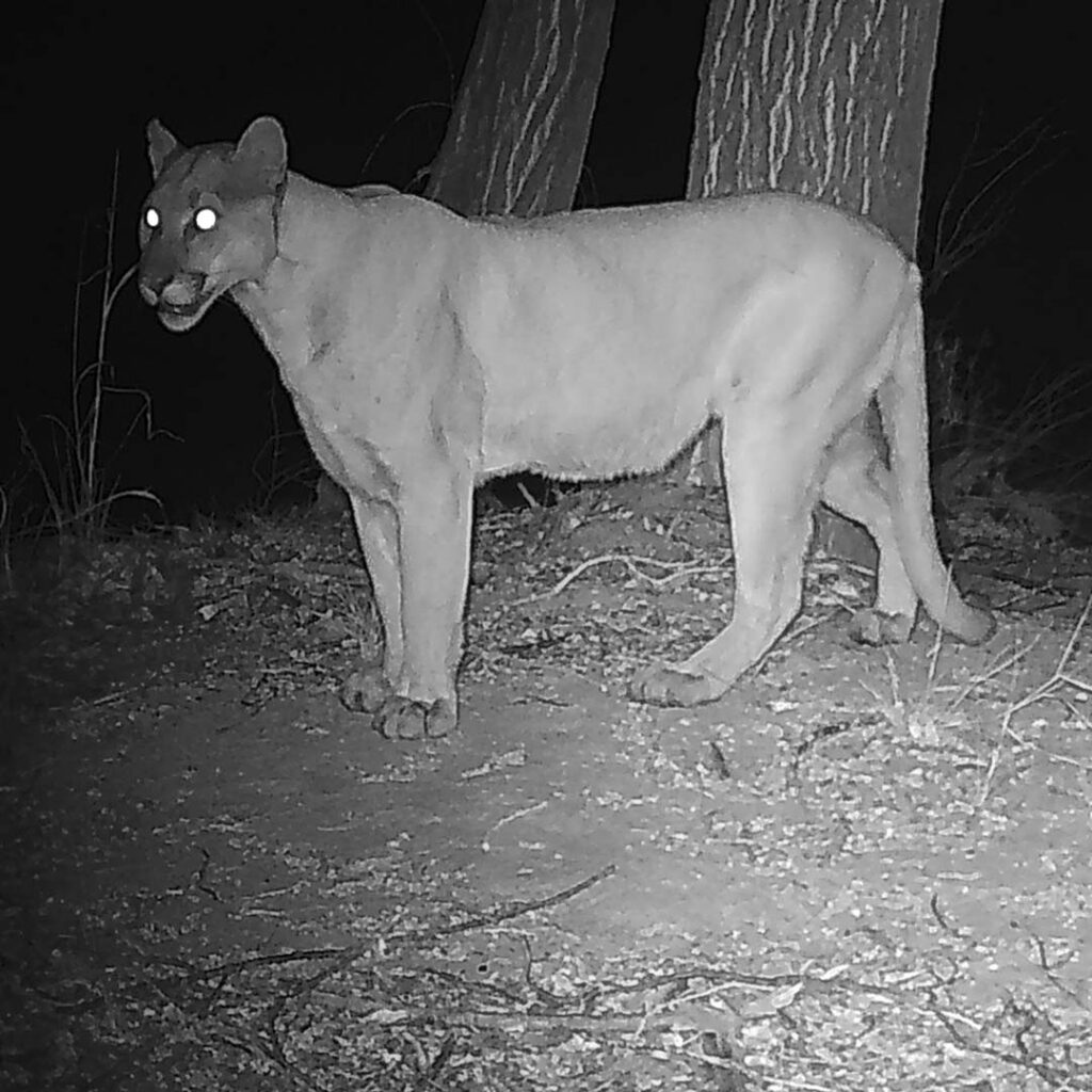
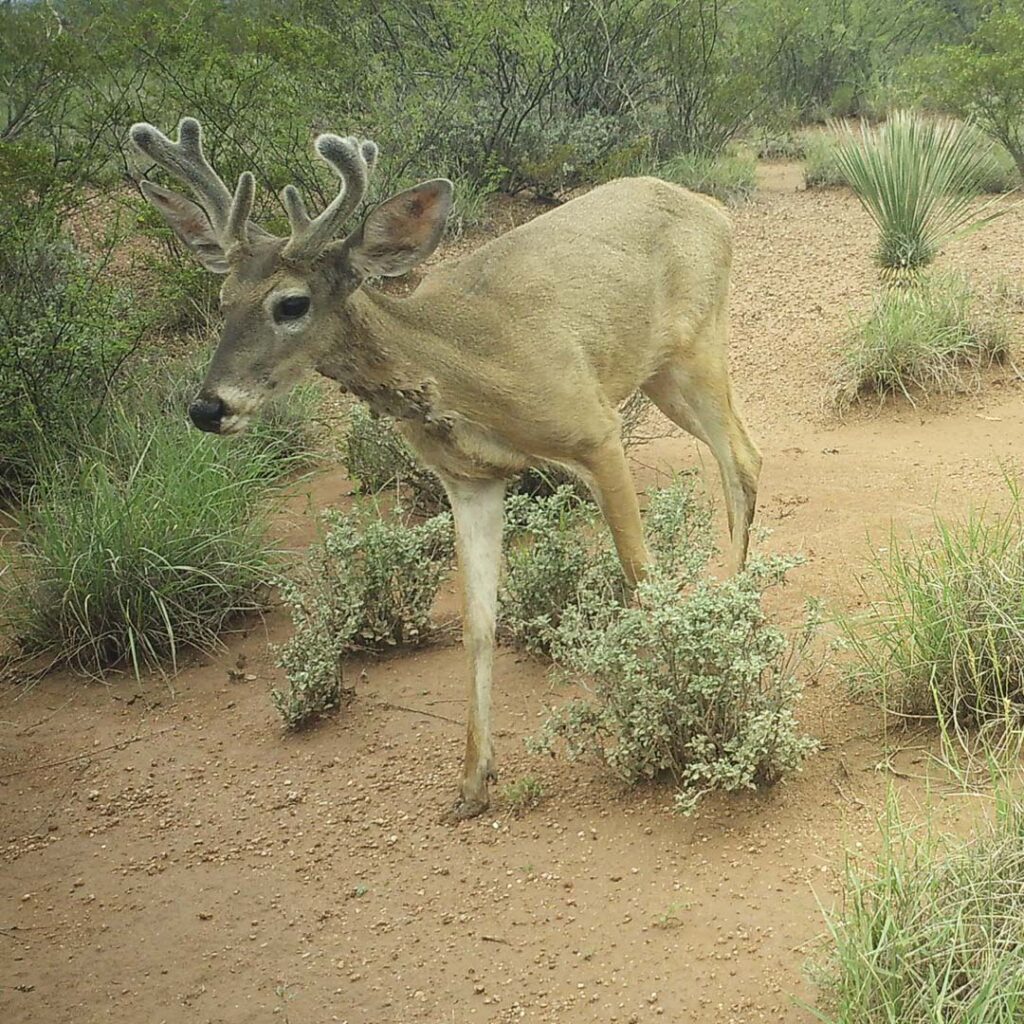
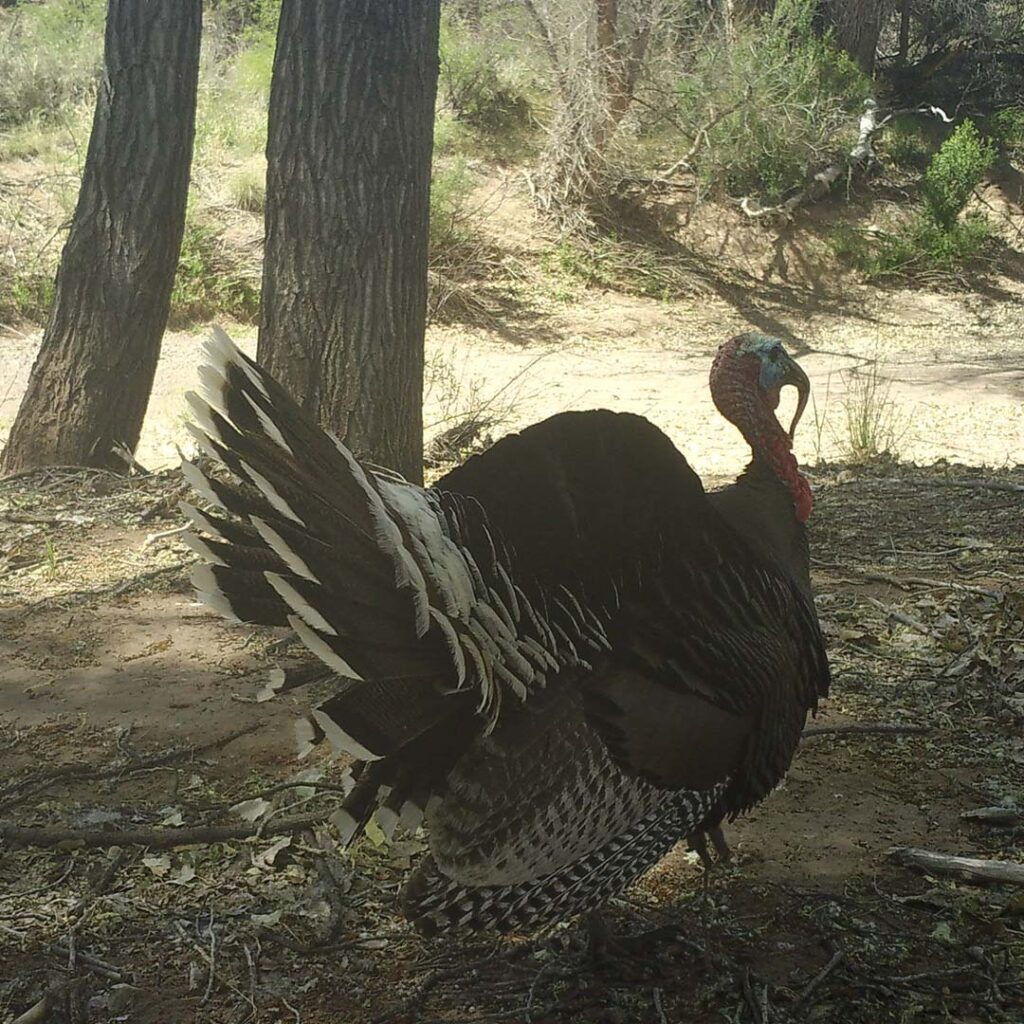
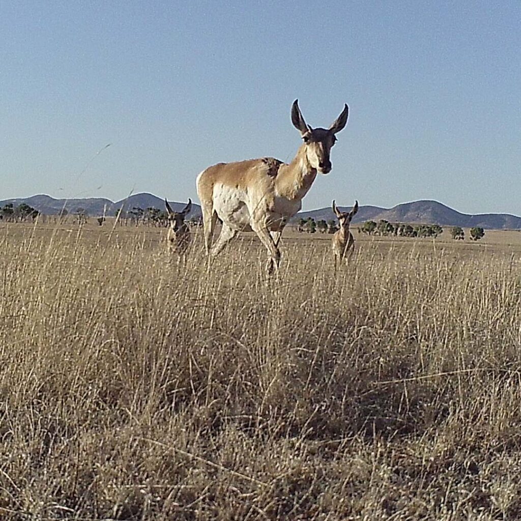
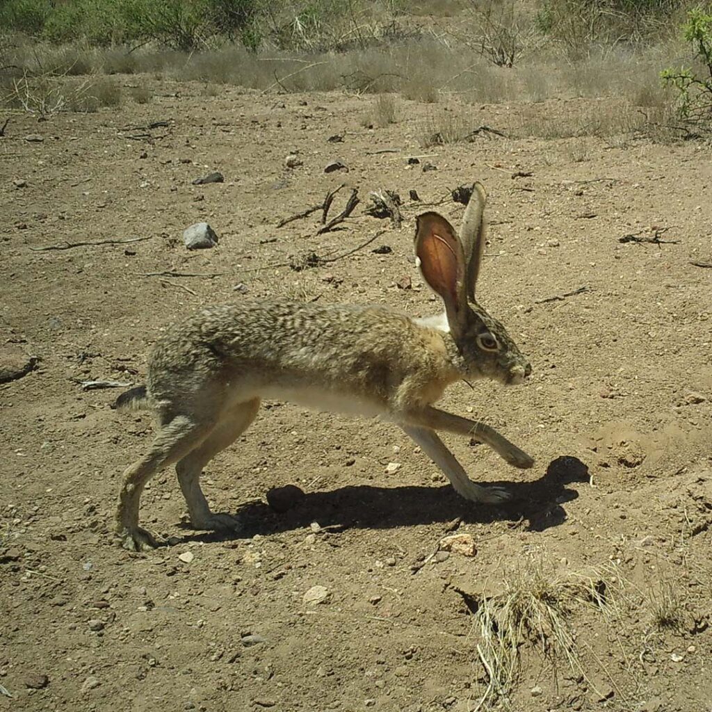
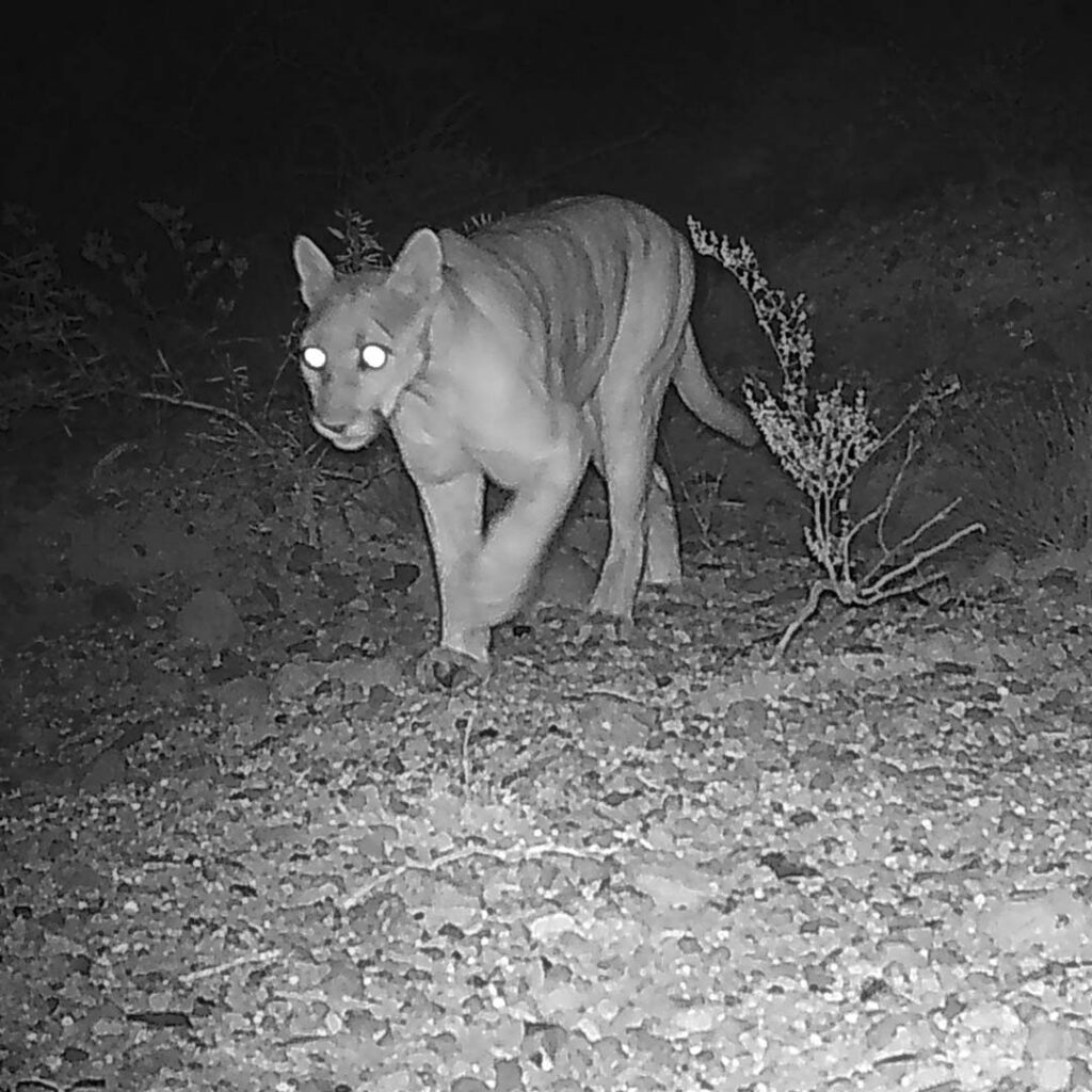
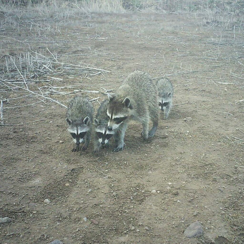
Our Border Wildlife Study is designed to document the composition of the wildlife community, trends and patterns in wildlife detections, and wildlife interactions with border barriers in southeast Arizona and northern Sonora. We use non-baited, motion-activated cameras that take a photo or video whenever they detect movement. Two-thirds of our cameras are arranged in equally spaced grids between one to two miles north or south of the border. These cameras take still photos of wildlife 24 hours/day to help us understand the composition of the wildlife community and changes through time. The remaining third of our cameras are placed facing border barriers to help us understand how wildlife interact with these barriers. These cameras are programmed to collect videos instead of photos so we can better document wildlife behaviors and crossing rates at the border barriers.


Study Location #1
Patagonia-Huachuca Mountains
Location: Patagonia Mountains, San Rafael Valley, Huachuca Mountains
Camera Sampling Started: March 2020
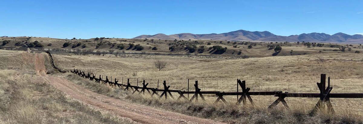
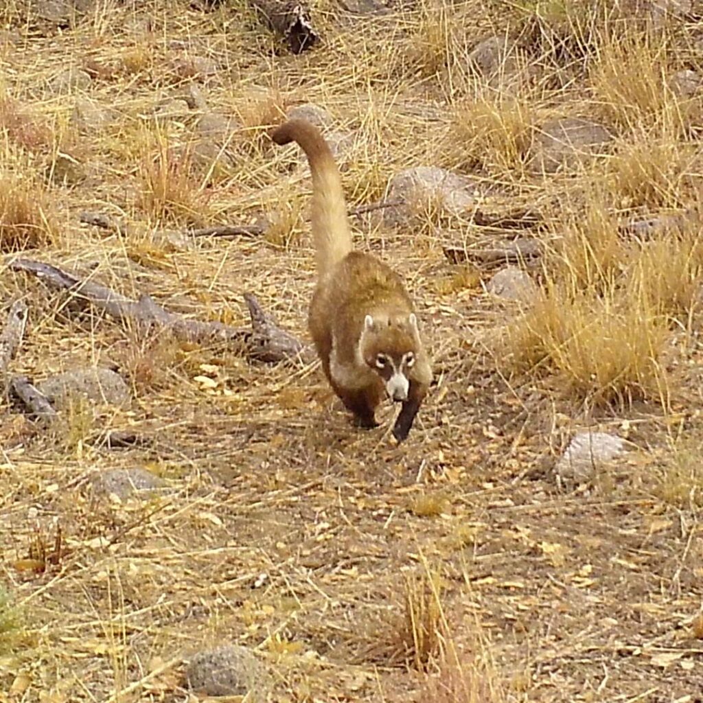
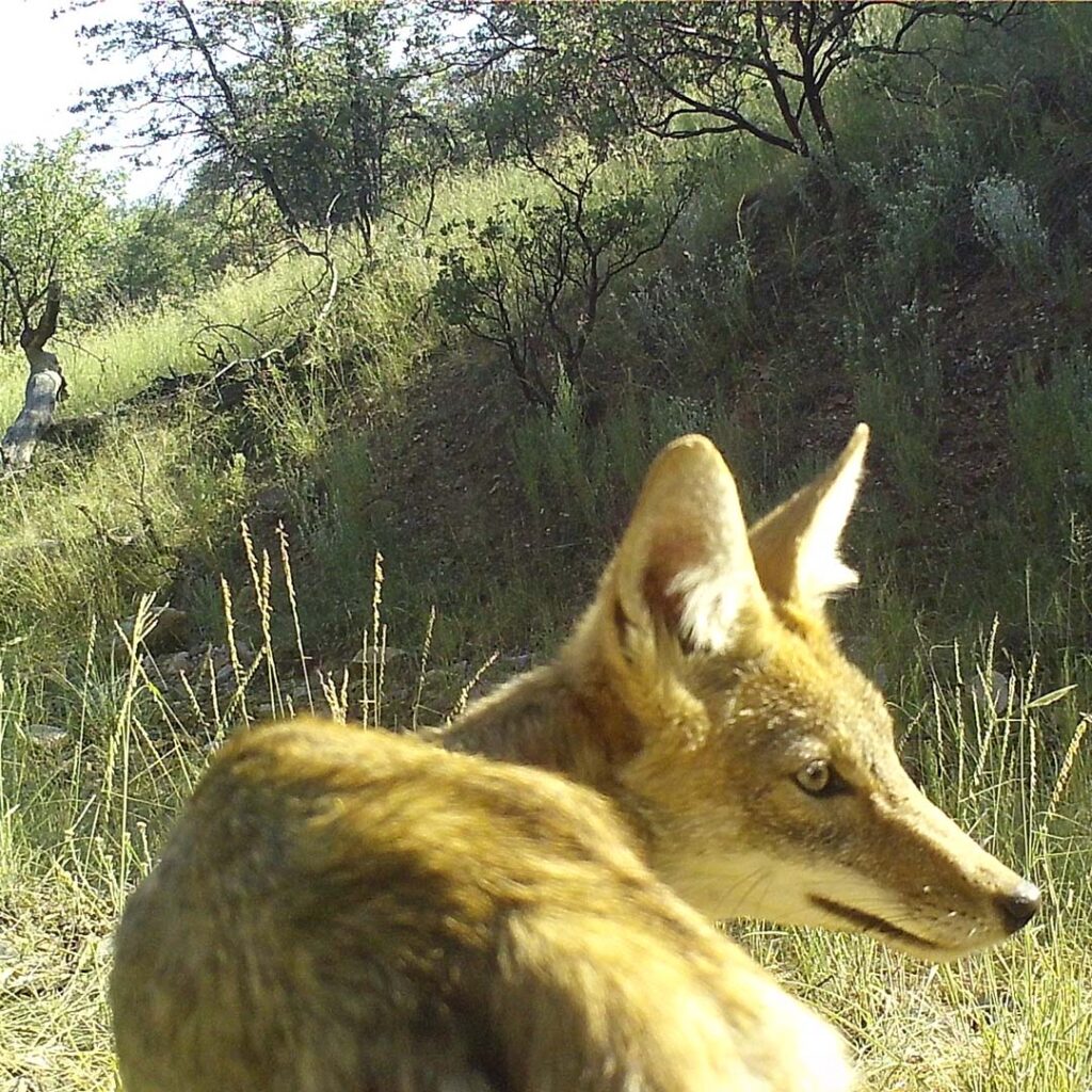
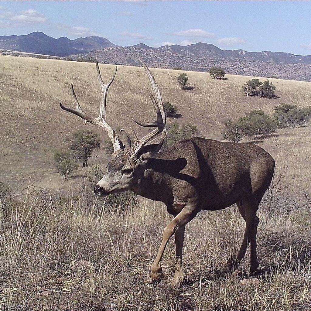
The area that makes up the eastern Patagonia Mountains, San Rafael Valley, and western Huachuca Mountains are one of the last regions of the Sky Islands to be free of bollard wall. Barbed wire and vehicle barriers stretch across the valley and allow for easier animal connectivity across this biologically diverse region. However, this area is in peril, and it is vital to study the wildlife here before further changes occur. Since March 2020, Sky Island Alliance has maintained a network of cameras across the landscape to document the wildlife community and capture how animals move across this more permeable border.

Study Location #2
San Bernardino Valley
In partnership with Wildlands Network
Location: San Bernardino National Wildlife Refuge
Camera Sampling Started: June 2022
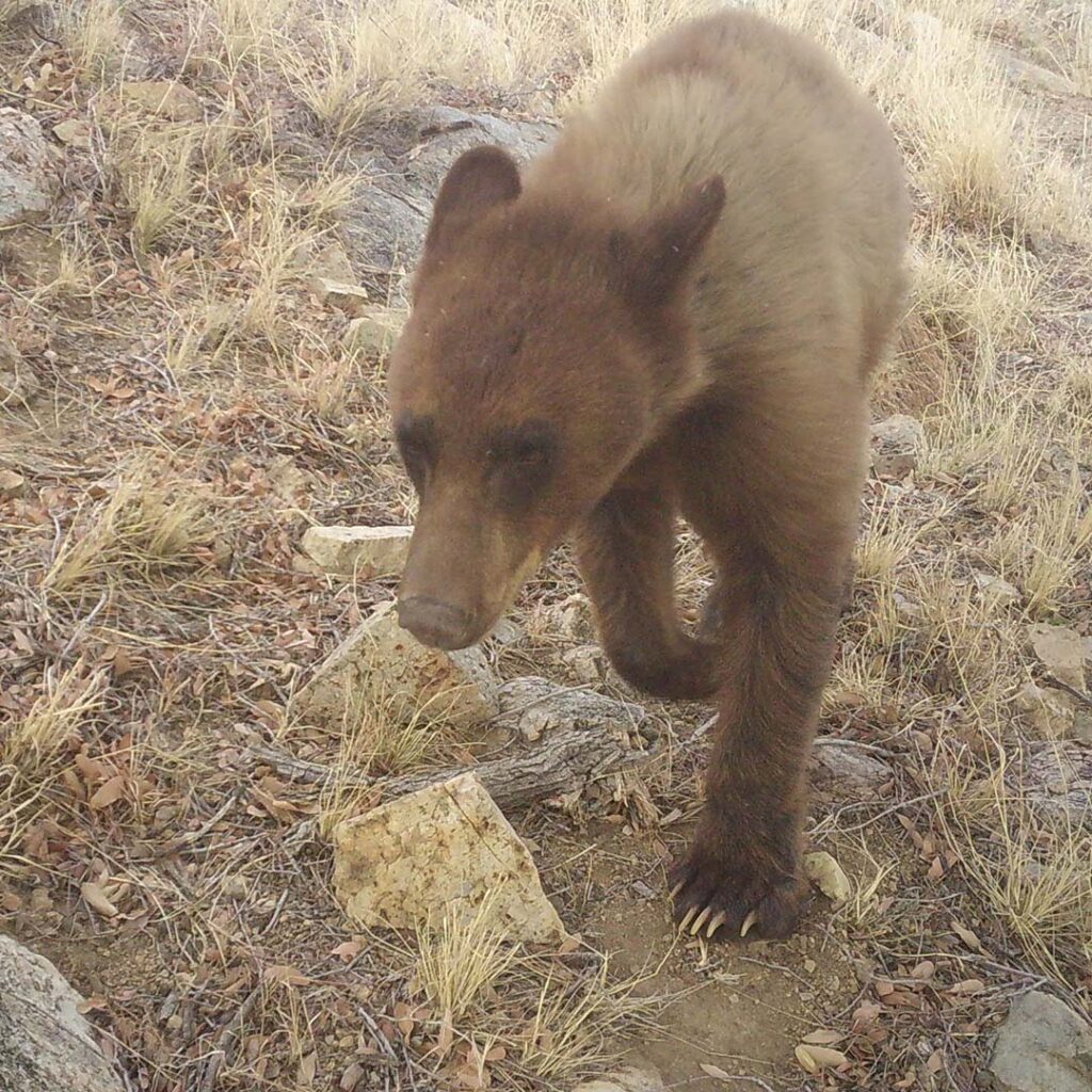
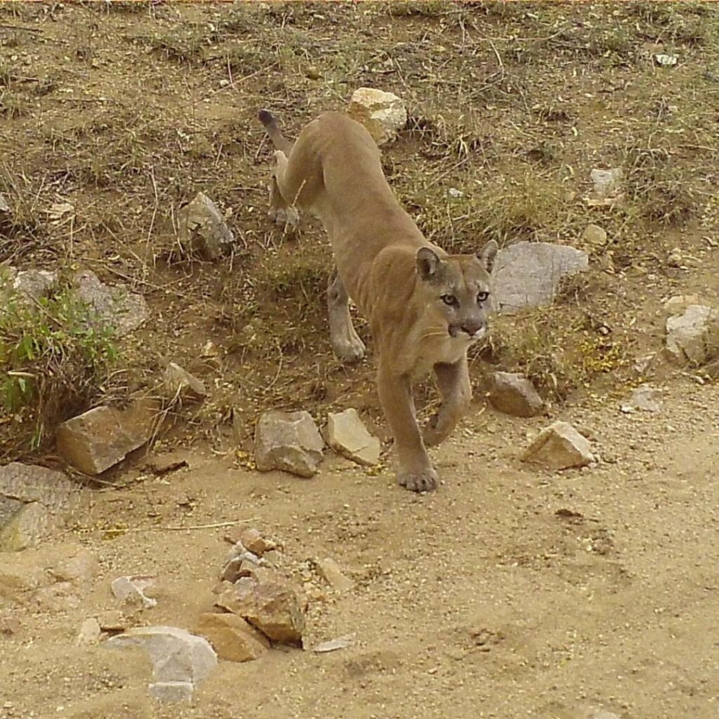
The springs and pools at San Bernardino National Wildlife Refuge are an oasis in the desert for wildlife crossing between the Sky Island mountain ranges of Arizona and Sonora. Black bears, mountain lions, and white-nosed coati all stop by for a drink on their travels. But as of 2020, this region has been cut off by 30-foot-tall border wall. This formidable barrier severs vibrant riparian corridors and desert uplands in a broad river valley. Eight small wildlife openings the size of an 8.5″ x 11″ piece of paper, as well as seasonal floodgates that are opened only during the monsoon season, serve as the only crossing points for the region’s diverse wildlife. Since June 2022, Sky Island Alliance and Wildlands Network have collaborated to quantify the impacts of the border barriers on wildlife as well as the effectiveness of the small wildlife openings.




Study Location #3
San Pedro Valley
Location: San Pedro Riparian National Conservation Area
Camera Sampling Started: February 2024
The San Pedro River is a vibrant example of desert riparian habitat, with a cottonwood corridor stretching from Mexico well into the United States. This riparian corridor provides a cool reprieve for countless wildlife and migratory birds. The San Pedro was one of the last free-flowing rivers in the Southwest until border wall was built across it in 2020. Five small 8.5″ x 11″ openings were added to the border wall to facilitate wildlife movement, and floodgates are opened during the monsoon season. But for most of the year, this once crucial corridor is now blocked. Since 2021, we have maintained cameras along the wall and within the riparian corridor to monitor wildlife movements and understand the impacts of the border wall.

