
- This event has passed.
San Pedro River Wet-Dry Mapping
DESCRIPTION
Sky Island Alliance is putting together a team, or teams, to help out during The Nature Conservancy’s annual wet-dry mapping of the San Pedro river. TNC coordinates this mapping annually, every 3rd Saturday of June with their local, industry, state and federal agency partners throughout the watershed. This year’s mapping is scheduled for Saturday, June 16th.
While all the detail of the trip have yet to be nailed down, we need to find out who would be interested in joining us as soon as we can. We will be collecting info from folks interested in this project, through this registration page until Friday May 18th, after which we will contact interested parties with more info. IF YOU ARE INTERESTED, PLEASE RSVP BY MAY 18TH!
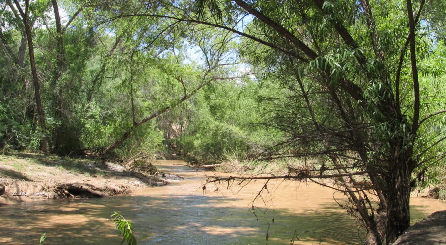
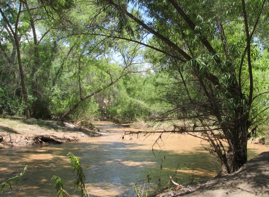
The mapping is done during what is typically the driest, pre-monsoon time of the year, engaging the help of citizen-science volunteers to note where surface water is apparent in the San Pedro River. This information is one piece of data analyzed together with other data that helps water managers and scientists gauge the health of the river. Having an annual record also gives TNC a way to compare from year to year how management decisions are working. What is truly remarkable is that The Nature Conservancy has this record for almost the entire 173 miles of the San Pedro River. On the same day, volunteers will map all the way from the headwaters in Sonora, Mexico down to the confluence with the Gila River in Pinal County, Arizona, as well as many major tributaries.
Participation in a training event for the reach you volunteer for is required and typically is held the evening prior, Friday, June 15th. Once we have determined our teams we will send you the training details. You will be trained to use the mapping equipment: a GPS unit and data sheets to mark the start-end locations of wet sections.
Here is some important information about the mapping event:
- Must be 18 to participate
- Walking distances range from ~2 to 5.6 miles, ranging from easy, moderate, to strenuous
- Depending on the reach and time of day mapped, temperatures can range from 80-105 degrees
- While on river, you will be in remote locations not near medical assistance, but each team will carry a first aid kit and have phone access to TNC’s roaming staff
- Must be able to carry food, water, small pack, withstand hours in the sun
- Must RSVP with us by Monday, May 7th, attend an evening training, and commit to mapping for the day
- We will begin early morning to beat the heat (time TBD), but plan to dedicate most of day to the event. With travel to and from remote locations it ends up being a long day