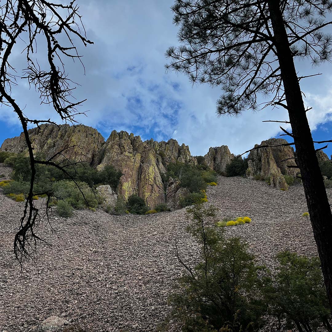
In 2011, Interior Secretary Ken Salazar designated Barfoot Park in southern Arizona’s Chiricahua Mountains as a national landmark. In particular, he noted its unusual mix of Sierra Madre and Rocky Mountain flora and fauna, which includes four pine species and 18 other kinds of trees. He also noted its talus slopes, meadows, and two permanent springs. The landmark encompasses 680 acres of federal land managed by the U.S. Forest Service and sits on the edge of the Chiricahua Wilderness within the Coronado National Forest.
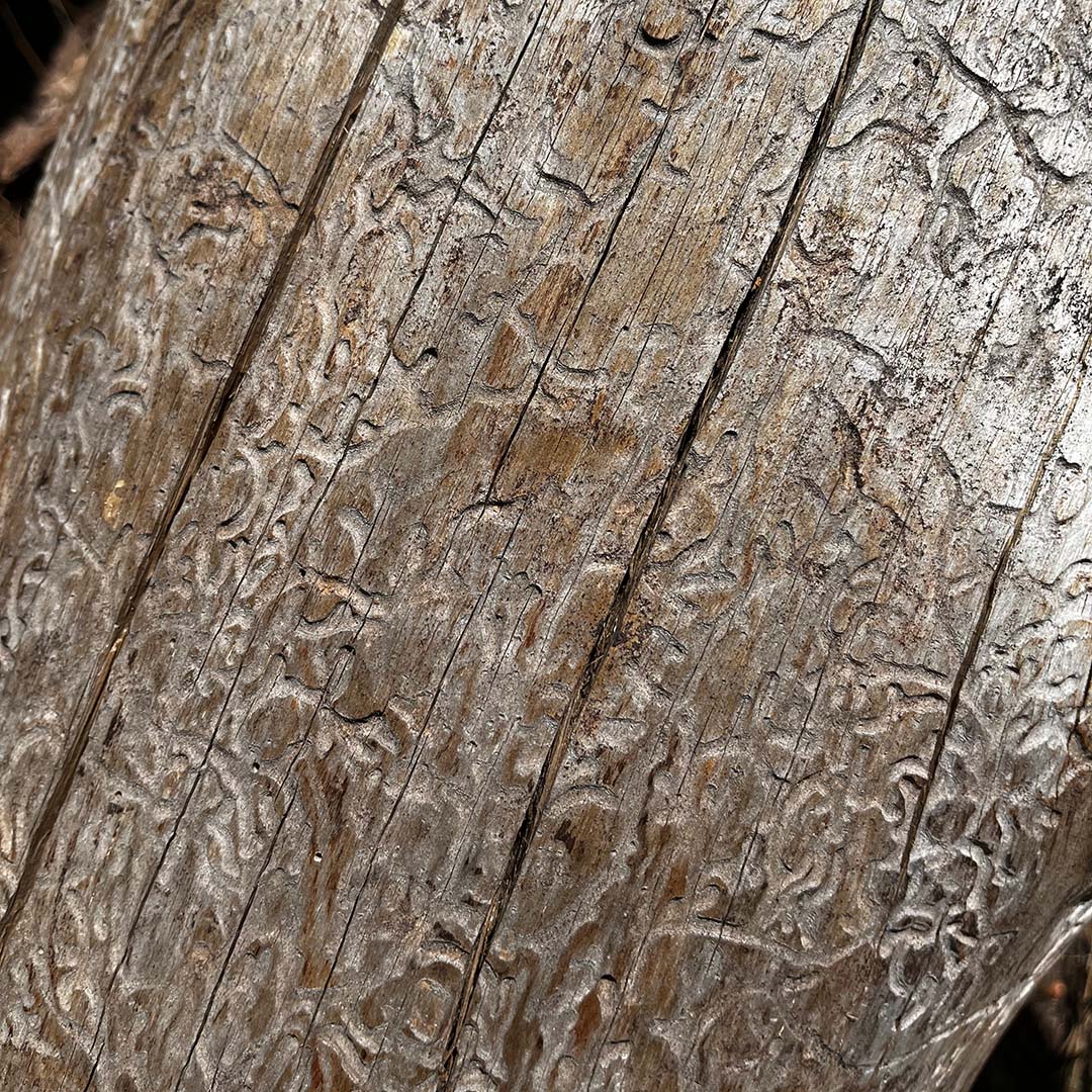
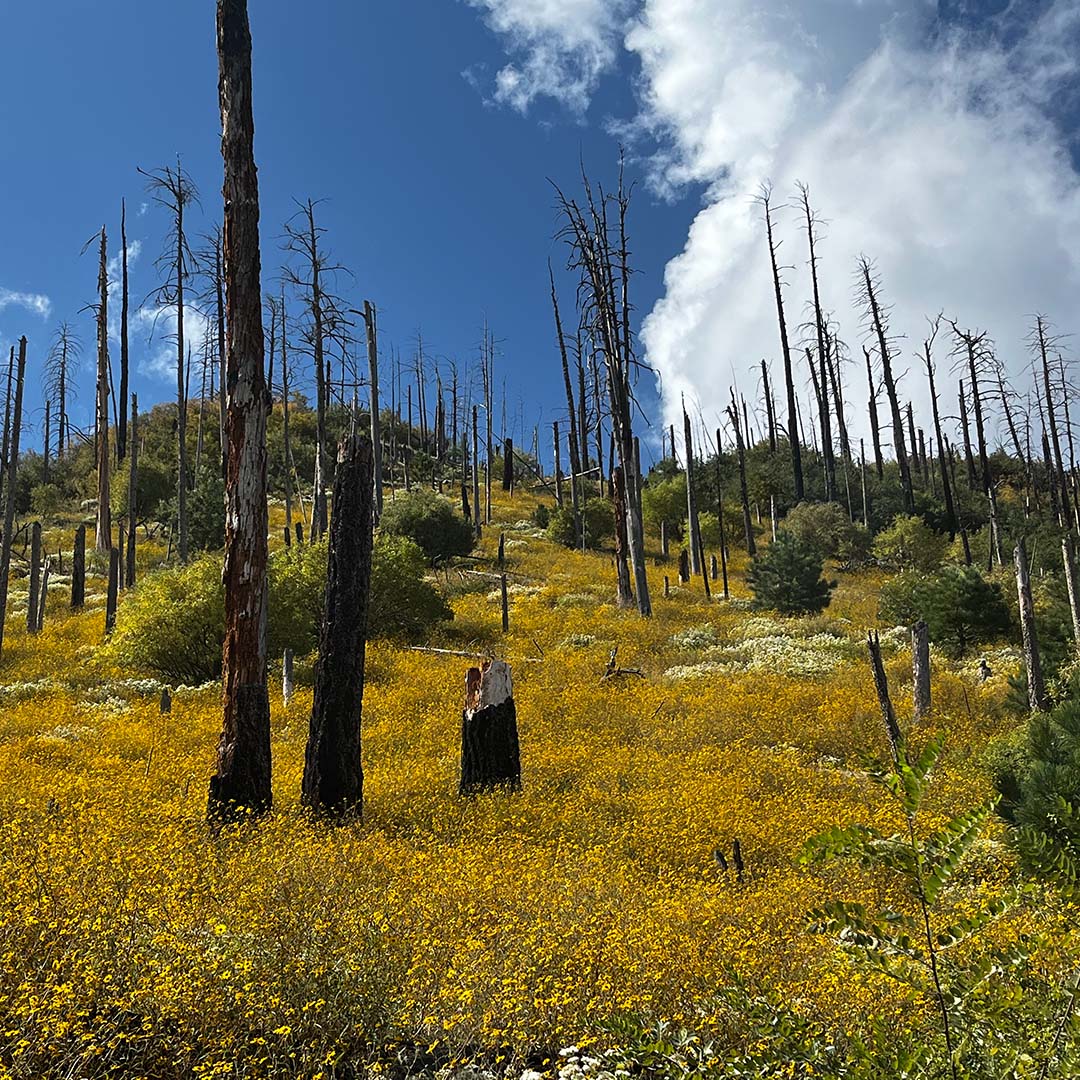
That same year, the Horseshoe 2 fire burned 222,954 acres, demolishing the Barfoot lookout. The Southwest Fire Science Consortium has a fascinating interactive site devoted to studying the fire and its lasting effects.
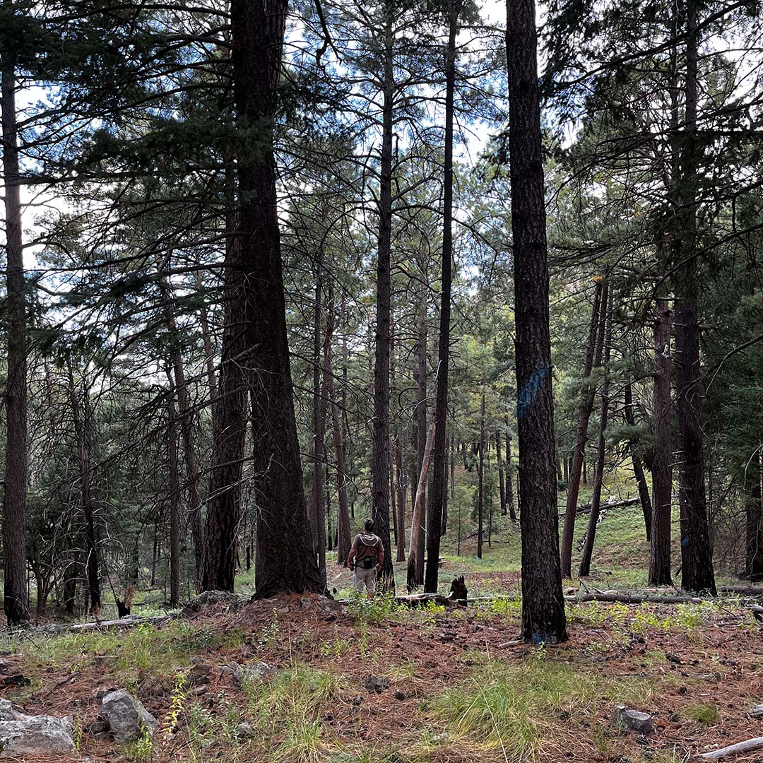
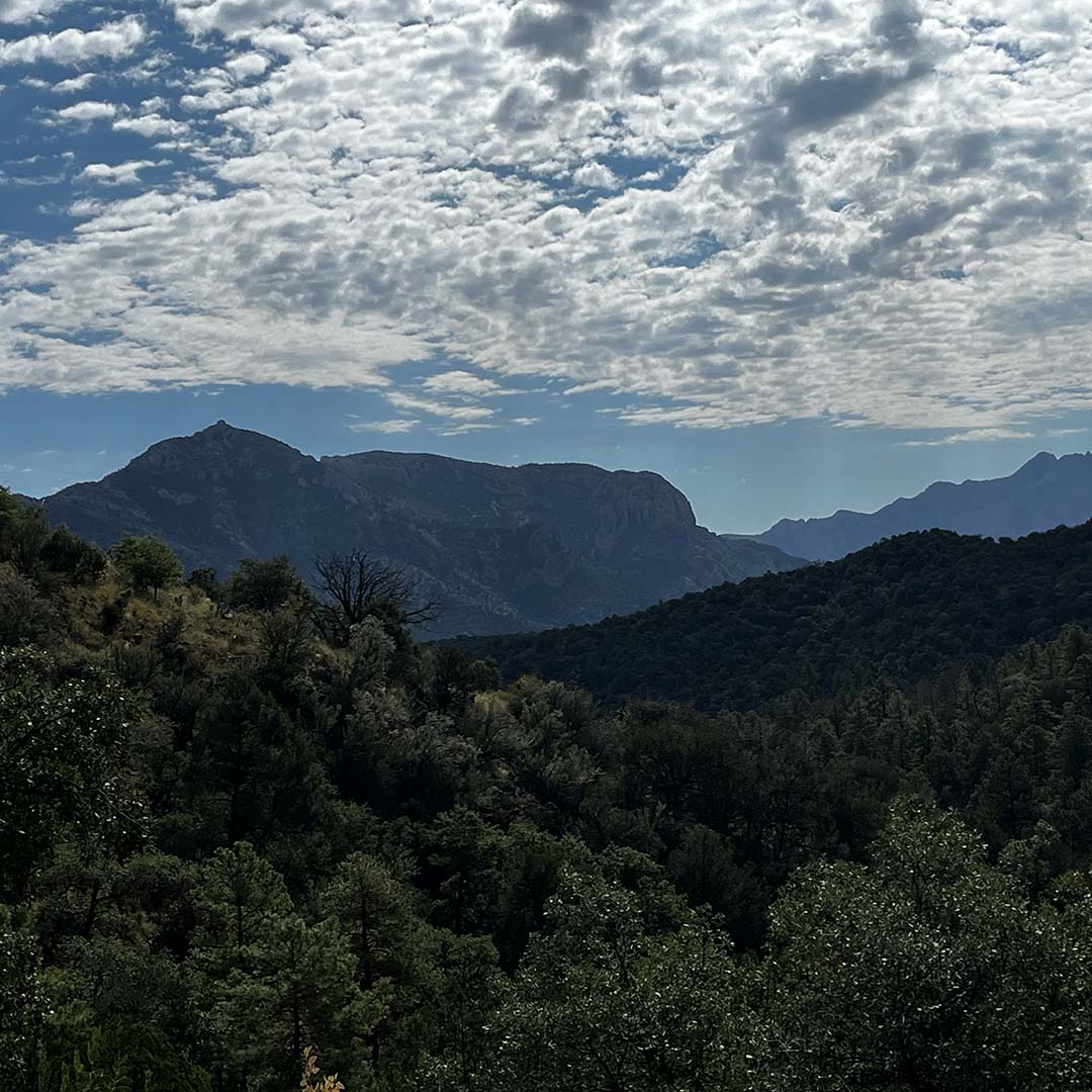
Earlier this fall, my husband and I parked across from Barfoot Meadow, which is watered by Barfoot Spring, and took in a nearby field of wild iris and other wetland plants. Sitting at 8,200’ in elevation, this remote and extraordinary landscape is a perfect example of Madrean ponderosa pine forest. In the area you’ll find many picnic tables surrounded by thick carpets of pine needles, wildflowers, and an abundance of peaceful places to sit and ponder. Bring your lunch, spend the day, explore, listen, nap, enjoy. Barfoot Park allows dispersed camping and plenty of space to do it.
We spent a few hours in the area and found a surprising number of blooming plants for mid-September, plus birds galore (see full list below).
For those interested in this area’s history, Barfoot Park was established in 1903 with a forest ranger station. And at one point there was a sawmill on site, which supplied lumber for the U.S. military at Fort Bowie and for Tombstone. For a time, Barfoot Park was also the site of a large boy scout camp called “Camp Victorio.” Varying reports of why the camp was closed include to preserve plant and animal species or because of bears in the area. The foundations of some of the buildings are still visible.
Getting There
The roads up to the park are rugged, and I highly recommend a 4WD vehicle and patience for bumpy roads. It takes about three hours from Tucson but is well worth it. See map.
- From Tucson, take I-10 E to exit 336.
- Continue onto I-10BL E/S Haskell Ave.
- Turn right onto AZ-186 E/E Maley St.
- Continue to follow AZ-186 E.
- Turn left onto AZ-181 E.
- Turn right onto Pinery Canyon Rd.
- At Onion Saddle, Pinery Canyon Road turns left and becomes Forest Service Road 42.
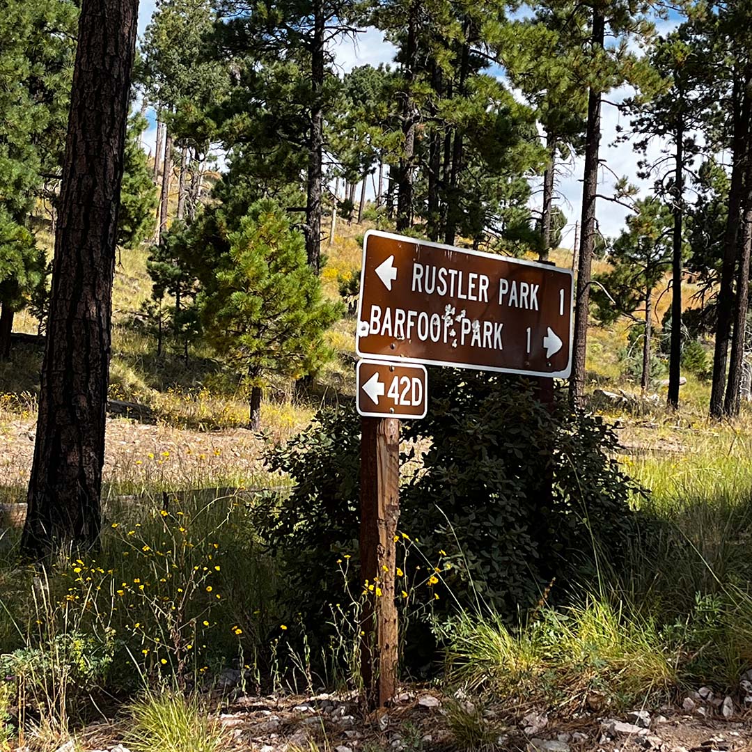
- Turn right onto Forest Service Road 42D.
- Turn right onto Forest Service Road 357/E Barfoot Park Road, which takes you into the park.
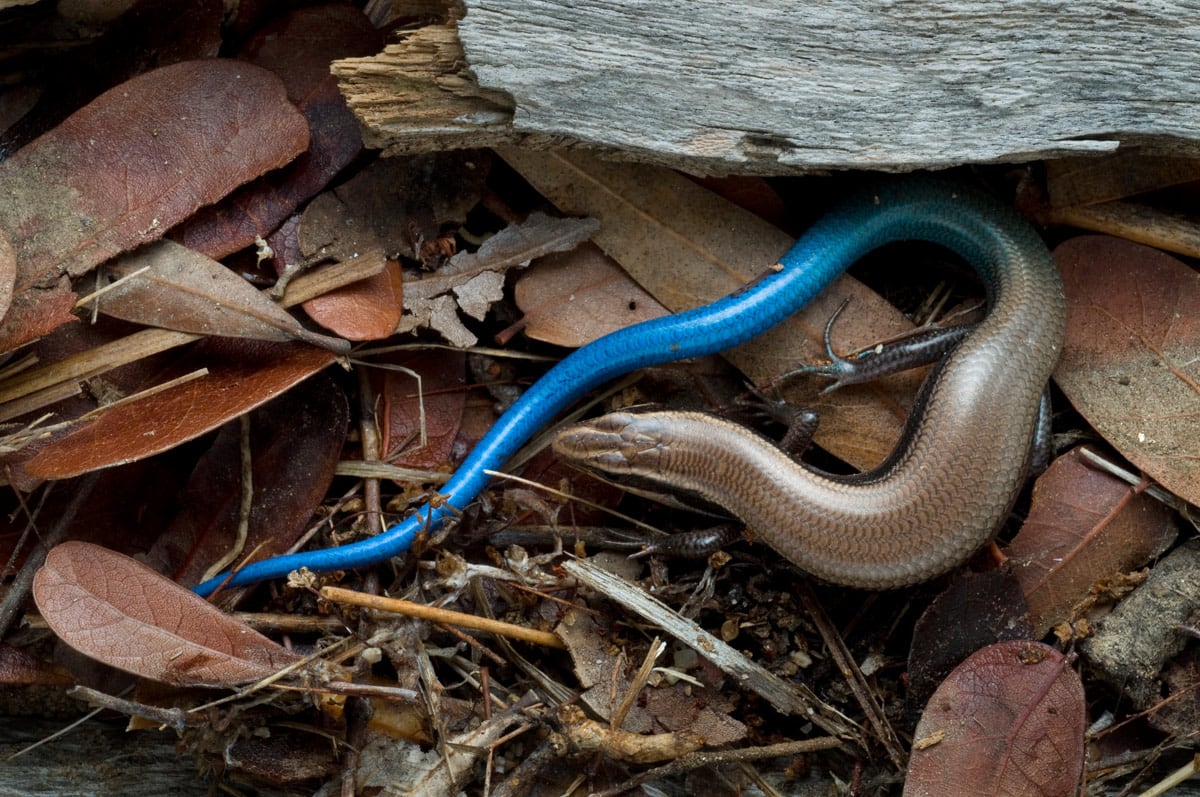
Below are just a few of the many plants and birds we came across this day in this corner of the Sky Islands.
Flora
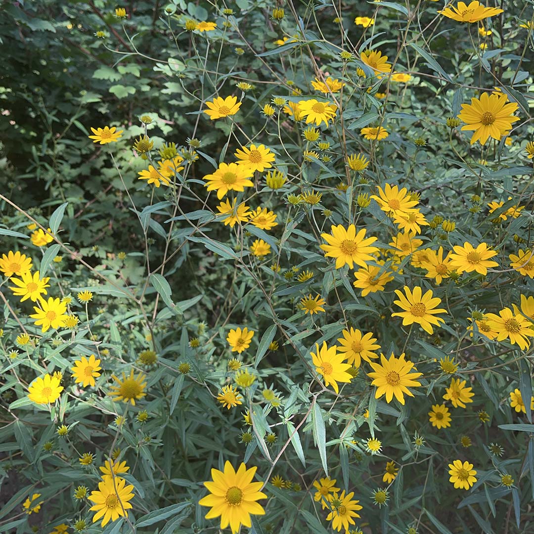
- Showy goldeneye
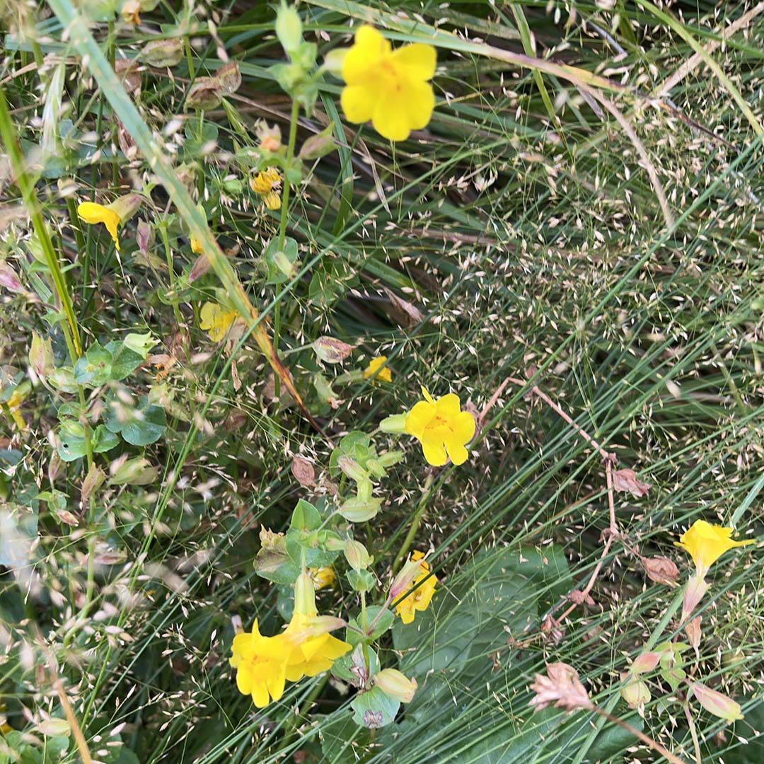
- Seep monkeyflower
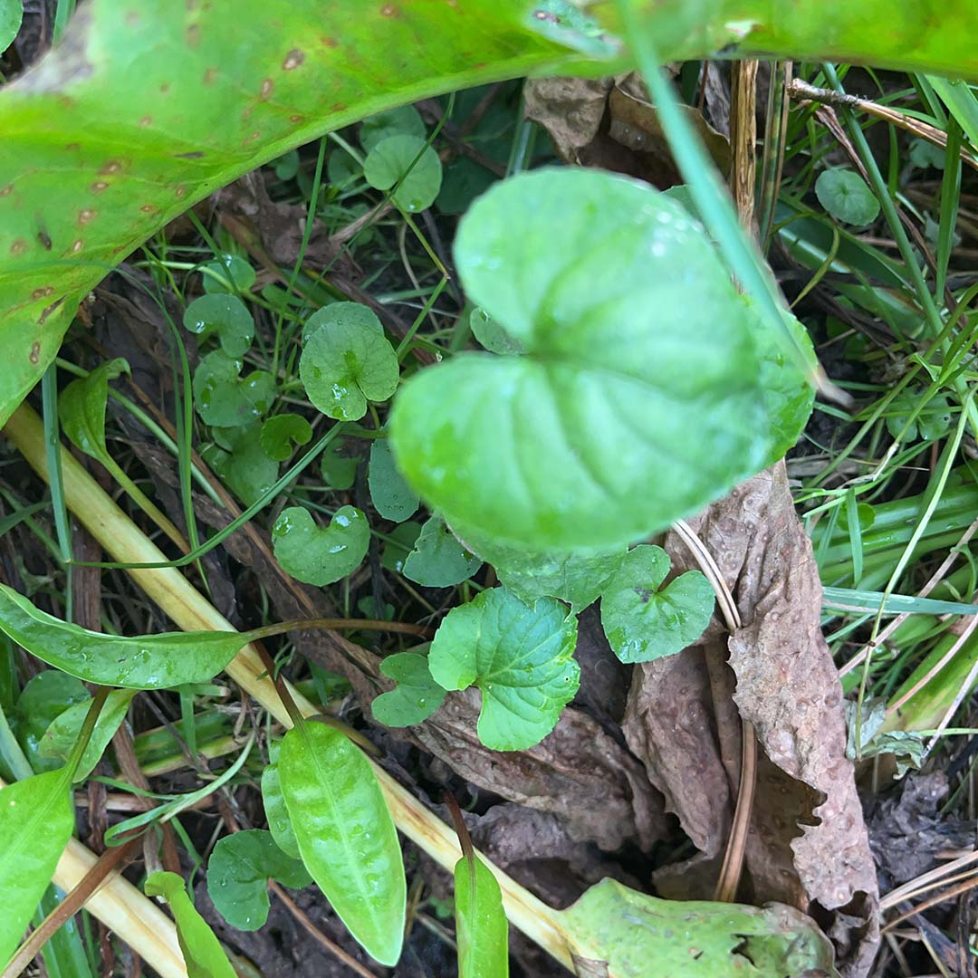
- Northern bog violet
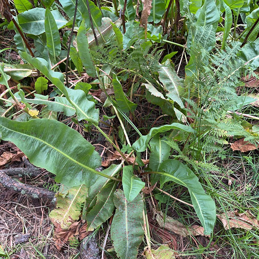
- Chiricahua Mountain dock
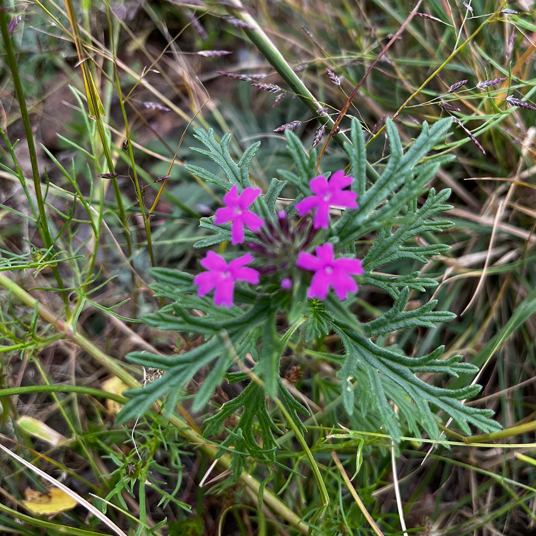
- Chiricahua Mountain mock vervain
- Santa Catalina Indian paintbrush
- Longleaf cologania
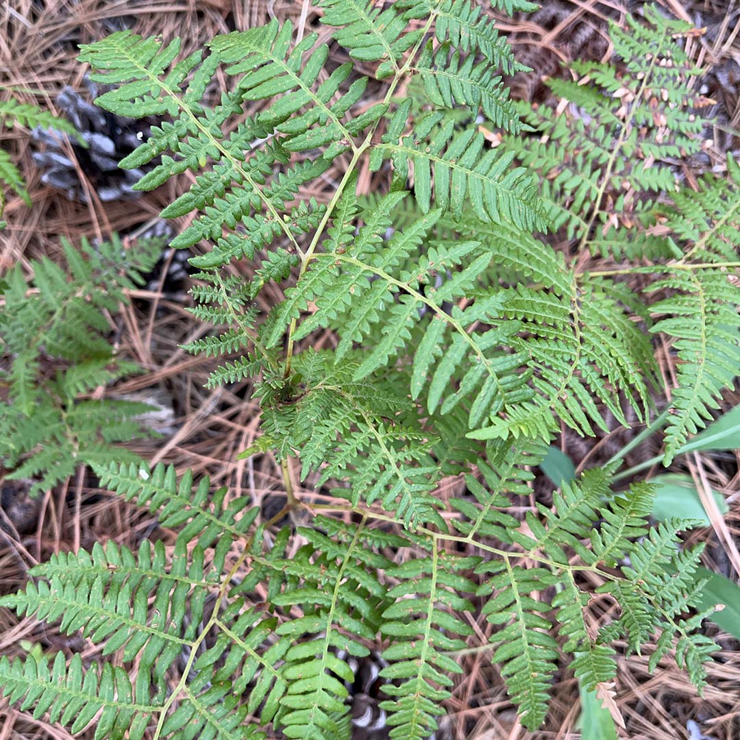
- Hairy brackenfern
- James’ buckwheat
- Fendler’s meadow-rue
- Mock pennyroyal
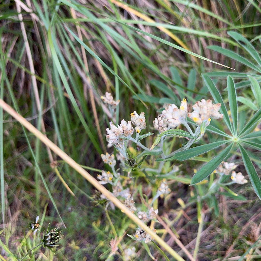
- Macoun’s everlasting
- Wright’s goldenrod
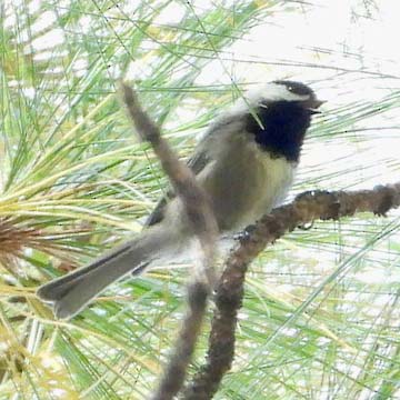
Birds
- Rufous hummingbird
- Acorn woodpecker
- Plumbeous vireo
- Pygmy nuthatch
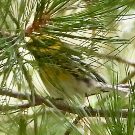
- Townsend’s warbler
- Painted redstart
- Mexican chickadee
- Pygmy owl
- Yellow-eyed junco
- Steller’s jay