Guest Blog by Eric Aldrich
How excited was I to learn about Sky Island Alliance’s new campaign to survey decommissioned roads in the Coronado National Forest? Answer: stoked. This project offers several appealing opportunities. One, I’ll take any excuse to hike. Two, I get to help conservation efforts to rewild roads. Three, this project takes me to off-trail, infrequently travelled places.
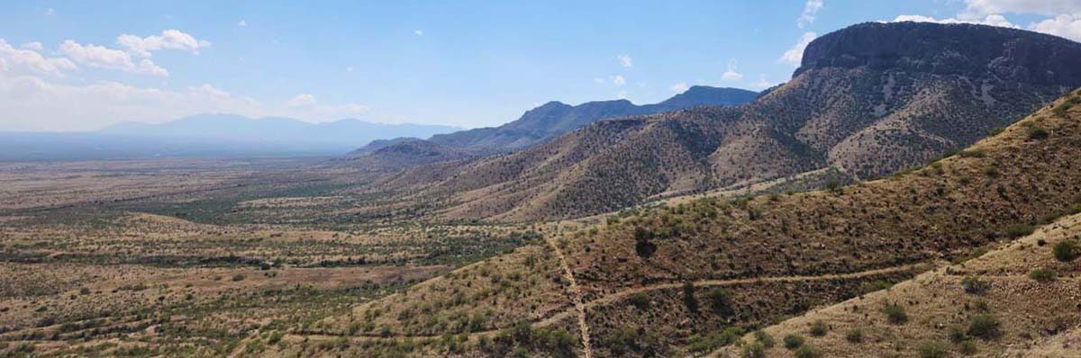
I live in Tucson, so I decided to learn to survey close to home and began by checking off three roads in the Whetstone Mountains, accessed through Kartchner Caverns State Park. To survey a road, you simply walk along observing erosion and plant growth and enter condition updates into the Field Maps GPS app as you go. The roads I visited were well on their way to being reclaimed by the desert.
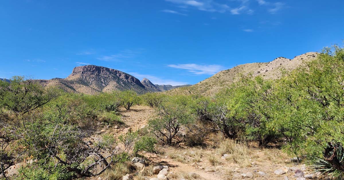
The first weekend I went out, a friend and I surveyed road 4917, a path that led up into the foothills of the Whetstones. We enjoyed observing the conditions of the road and taking periodic pauses to update Field Maps. The only signs of use were cow paddies. Grasses and small mesquites overtook the road for most of the walk, and I learned a lot about erosion and how desert life reclaims the scars we carve into the landscape.
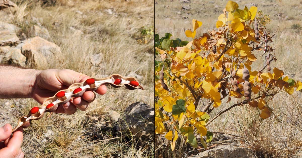
The following weekend, another friend joined me to survey roads 4017 and 4592. The only color more brilliant than the yellow-leaved coral bean bushes were the deep red beans themselves, nearly glowing from cracked-open pods.
In some places, large mesquites had reclaimed the road and we struggled to pass. I also gained a bit of advice for future surveyors — make sure all the maps you need are downloaded to your device. When my signal ran out near the end of the trail, I realized I didn’t have the whole set of maps downloaded. It was by the grace of AT&T that I had been able to survey at all. Luckily, I still took pics and observations, and it was easy enough to upload the data to the app when signal returned.
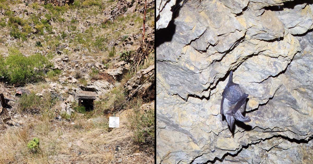
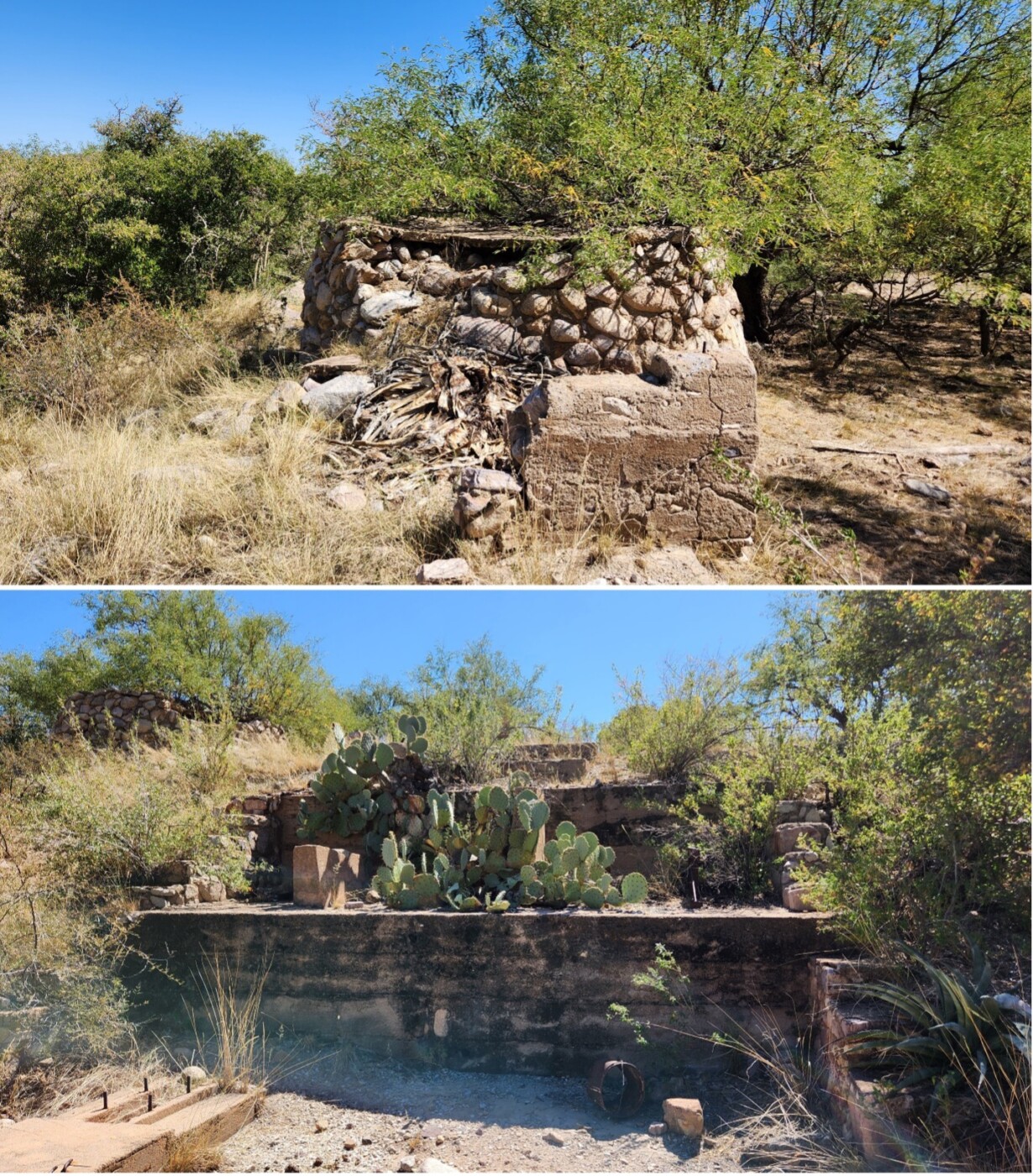
At the end of road 4592, we came upon a fascinating mining site. There were several digs into the hillside and a collapsed mine at the very end of the road. Barrels, rusty sheet metal, rubber hoses, and creosote-soaked timber littered the area. Peeking our heads into a tunnel filled with ferric brown mattress springs, we met a Townsend’s big-eared bat flying laps against the jagged ceiling. We retreated to return its daytime privacy.

A few minutes later, we met a jumping spider. After observing it for a moment, we headed back down the trail. Near the beginning, we noticed a site we hadn’t seen on the way in. It appeared to be mining related.
I encourage anyone who enjoys desert wilderness to pick a road or two and survey them. SIA has instructions on their site. It’s easy, helpful, and fun.
Eric Aldrich lives in Tucson, Arizona, and teaches writing and literature at Pima Community College. His recent article “Eyes in the Wild” was published in BorderLore and explores SIA’s FotoFauna and Border Wildlife Study programs. Get more at ericaldrich.net.