The following is part of a series of recommended Sky Island hikes. Be safe, have fun and leave no trace.
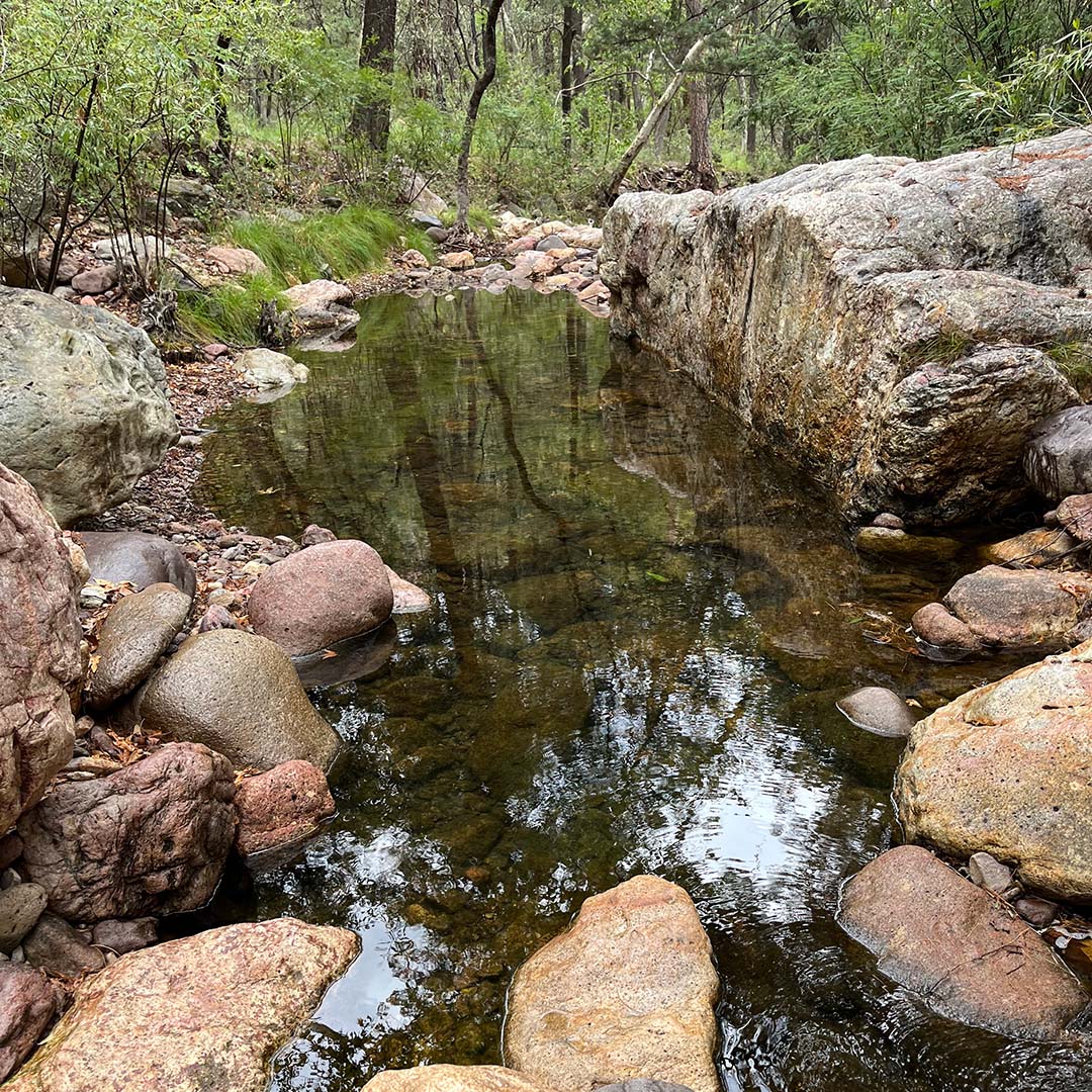
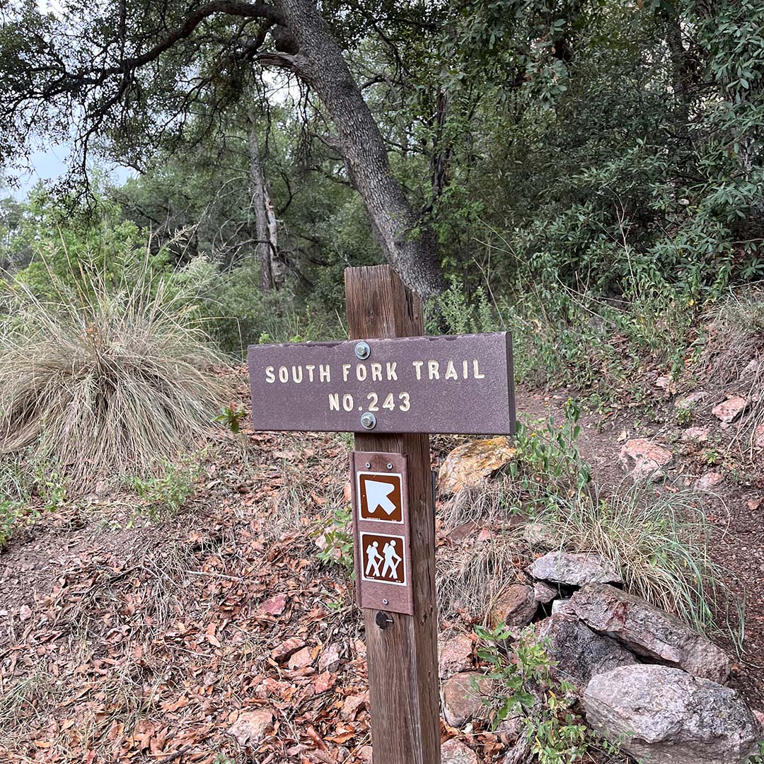
South Fork Trail #243 is a beautiful and birdy hike just a few miles outside Portal, Arizona, along well-maintained dirt roads. Recently, my husband John and I had the pleasure of visiting this part of the Coronado National Forest’s Chiricahua Wilderness on a lovely day of intermittent rain showers. The trail is 2.8 miles one way, with the option to hike longer by connecting with the Burro Trail. The terrain is mostly easy — a lush riparian area that parallels the south fork of Cave Creek. Just note that if the creek is running, there will be some crossings.
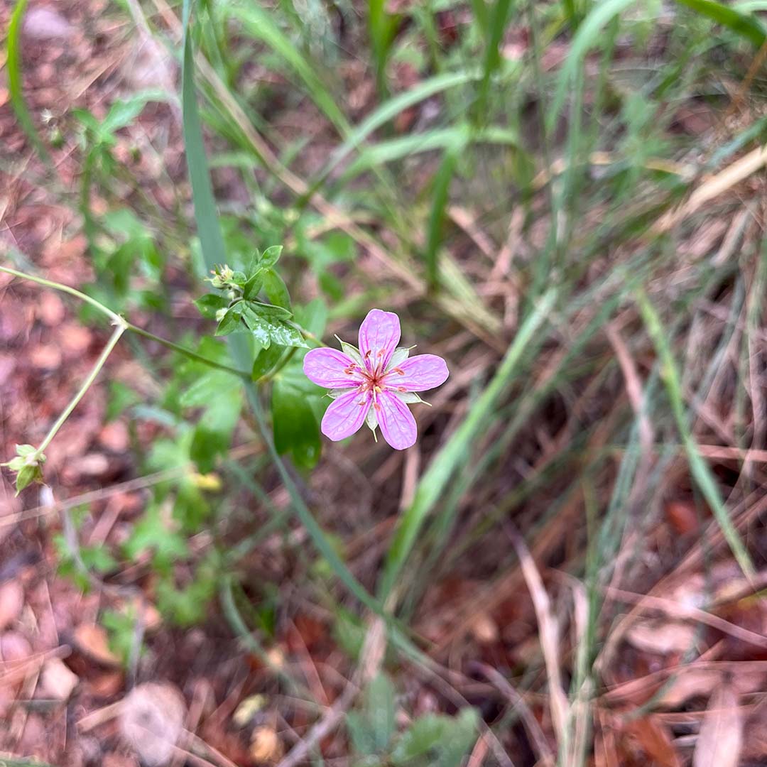
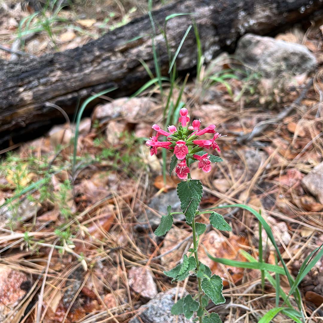
The diversity of trees and other flora in this area was relatively unaffected by the 2011 Horseshoe 2 Fire, and the area remains a stunning refuge for birds and wildlife. You’ll wander creekside through a canopy of walnuts, sycamores, cypress, and pines, as well as Douglas fir and Arizona madrone. During our visit, penstemons and wild geraniums were also in bloom.
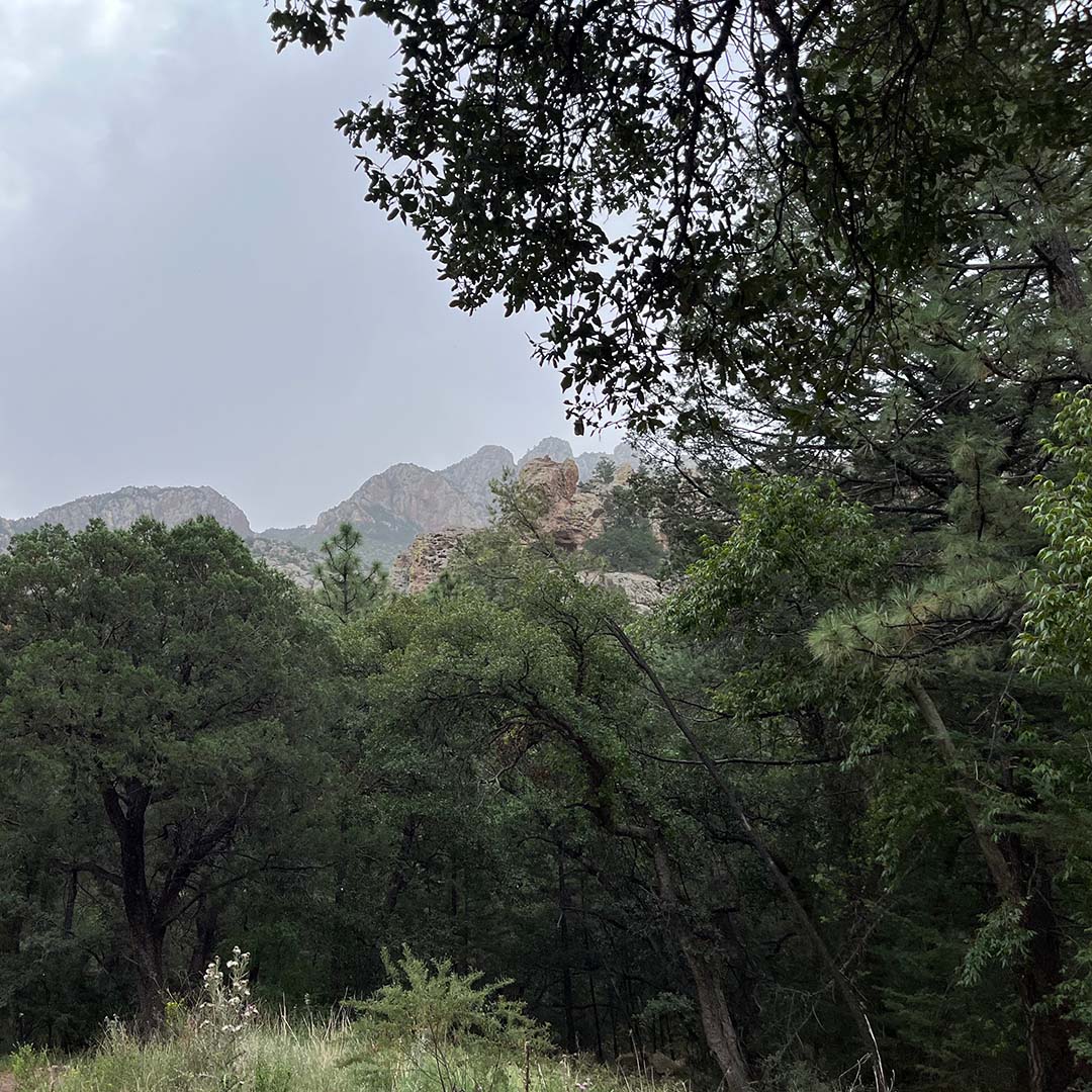
Periodically, through the canopy of trees, you’ll have jaw-dropping glimpses of both sides of Cave Creek Canyon, which was formed volcanically millions of years ago and has some inset caves towering above. The canyon walls are coral pink, festooned with massive sheets of neon-green lichen.
This is also a world-renowned area for birding that was recently designated “globally important,” so take a pair of binoculars. A particularly good spot to see birds on the trail is just 30 feet past the second stream crossing. In less than 10 minutes, we identified painted redstarts, Mexican chickadee, common black hawk, acorn woodpecker, northern flicker, western wood pewee, cordilleran flycatcher, Hutton’s vireo, Mexican jay, bridled titmouse, red- and white-breasted nuthatches, brown creeper, chipping sparrow, Wilson’s warbler, and a hepatic tanager. Phew!
Ready to Hike?
From Tucson, take I-10 east 140 miles to Exit 5 in New Mexico. Then go south on NM-80 for 28 miles until you see the sign for Portal Road (NM-533). Turn right on this road and continue for 7.7 miles, reentering Arizona. Drive past the Portal Café on your left, and continue bearing left as Portal Road turns into S Cave Creek Road (Forest Road 42). After 2.7 miles, you will see a dirt road turnoff to the left for S Fork Road (Forest Road 42E). Take that road and continue one mile to the South Fork Trailhead. If you want to make it a weekend trip, there are several Coronado National Forest campgrounds along Cave Creek.