July 2024 Update: The Arizona Department of Environmental Quality has issued the discharge permit for the Hermosa Mine after an initial scoping comment period, increasing the urgency of our need for more spring surveys in this area. To learn more about the decision, read the Arizona DEQ’s response to public comments. And get more details in the agency’s fact sheet.
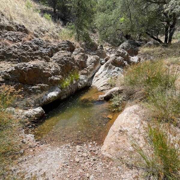
This summer, you’re invited to join us in southern Arizona’s scenic Patagonia Mountains for an important Spring Seeker campaign. Plans are moving forward for a new underground mine known as the Hermosa project. Unfortunately, to operate the area first has to be pumped dry underground. This will cause a “cone of depression” in the water table — lowering groundwater levels around the mine by an estimated 1,900 feet and potentially harming hundreds of springs and seeps that are fed by that water.
What’s more, the displaced water isn’t being used by the mine, but will instead be dumped into Harshaw Creek and a few other nearby creeks at a rate that may inundate other spring sites and wash away seedlings and other plants. Once the water has run its course, the area’s springs and the ecosystem built around them could be dramatically changed.
We have an urgent need to get eyes on these springs before the pumping begins, so we can establish baseline data and better advocate for these water sources. If you’d like to join us, take these steps:
- Install two apps on your phone: Gaia (Apple | Android) and ArcGIS Survey123 (Apple | Android)
- Download this KMZ file on your phone and “share” it to the Gaia app. This will allow you to navigate to all known springs and seeps that may be affected by the project.
- Add the Spring Seeker survey to your phone. To do so, visit the following webpage: https://arcg.is/18aCjm. Choose the option to “open in Survey123” and click “continue without signing in.” In the future, you can begin new surveys by simply returning to the Survey123 app.
- Check out this map, also embedded below, to see which springs in the affected area (marked by a dashed circle) have already been surveyed (marked as red). Pick some that haven’t been visited (marked as blue), check the weather, and head out to the springs. When you get there, launch Survey123 on your phone and complete the Spring Seeker survey onsite. Then, once you have cell service again, log back into the app and click submit on your surveys.
If you have questions, check out these great resources on our Spring Seeker site. And feel free to contact our Habitat Conservation Manager Sarah Truebe at sarah@skyislandalliance.org, (520) 624-7080 ext. 18.


