The following is part of a series of recommended hikes in the Sky Islands — be safe, have fun, and leave no trace.
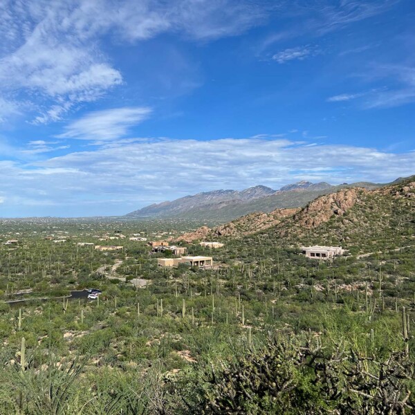
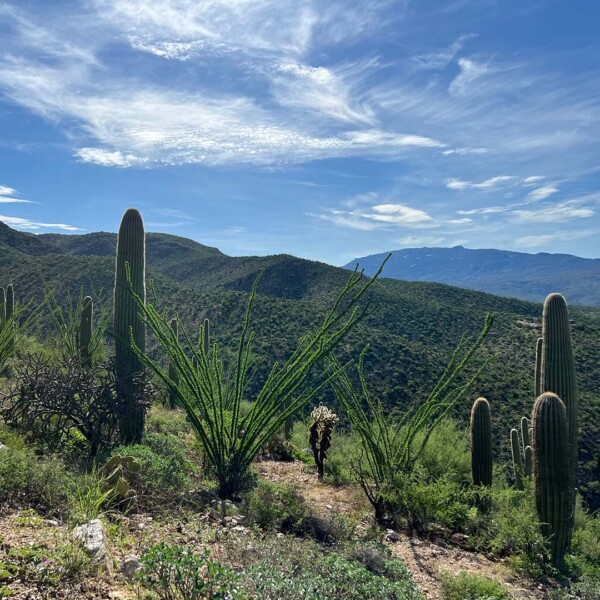
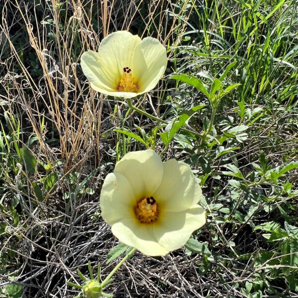
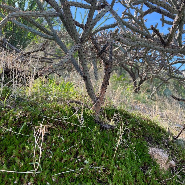
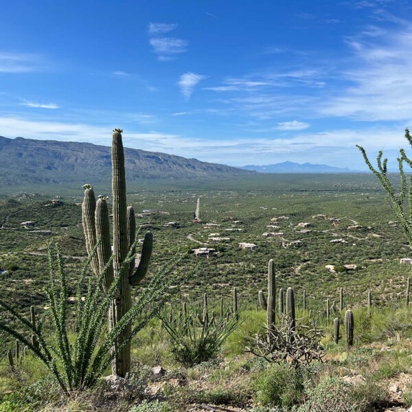
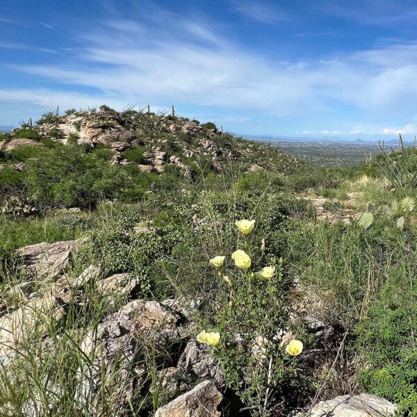
In the northeast corner of Tucson, the Agua Caliente Hill Trail gets your blood pumping as you ascend from the Sonoran Desert up into the foothills where the Catalina Mountains meet the Rincons. It’s a plant lover’s paradise as you climb through ocotillo and saguaro forest. Club moss and pincushion cactus grow together in the dappled shade of cholla and wolfberry bushes. Once the monsoon season is in full swing, this trail pulses with life including butterflies, giant desert centipedes, and black-tailed rattlesnakes. Agua Caliente Hill vegetation turns so green in the summer that if low monsoon clouds are hanging in the canyons, you just might think you’re hiking on a Hawaiian island! It’s a steep hike in places with nearly 3,000 feet in elevation gain, so bring a lot of water, and feel free to turn around at any point on the ~9-mile out-and-back hike. Even within 30 minutes on the trail, you’ll be able to take in breathtaking views of Tucson to the west and Saguaro National Park (East District) to the south.
Ready to Hike?
From Tucson, take Houghton Road north. Then turn right on Fort Lowell Road, left on Camino Remuda, and stay left until you reach the Agua Caliente Hill trailhead parking lot. There is space for 15 vehicles at this Pima County trailhead that provides a gateway to Coronado National Forest. Dogs are welcome on leash.


