Borderlands Story Map
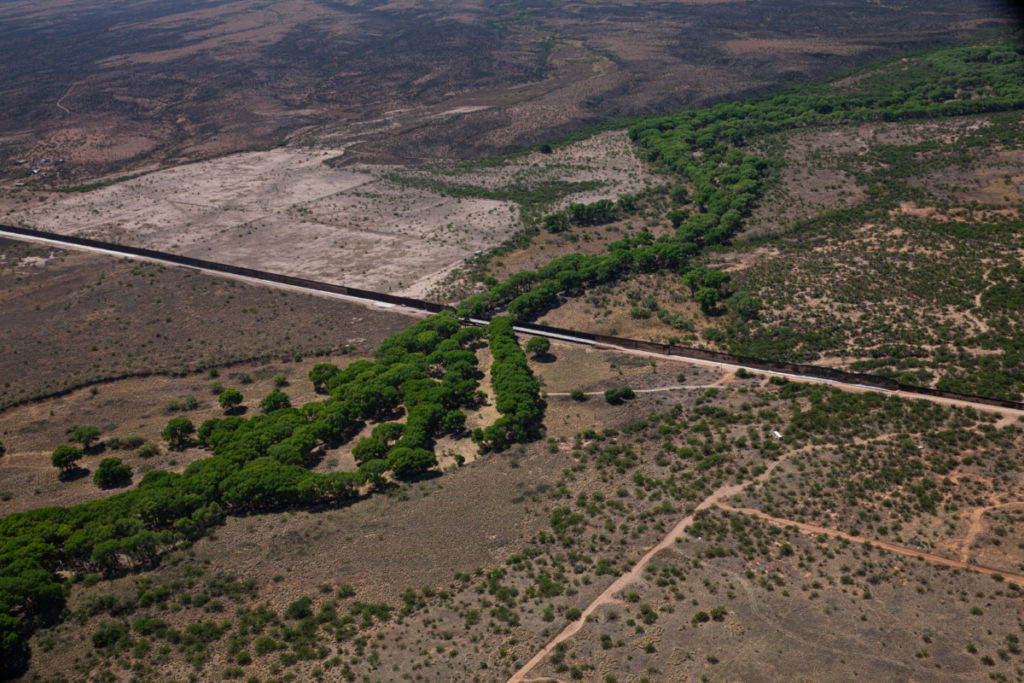
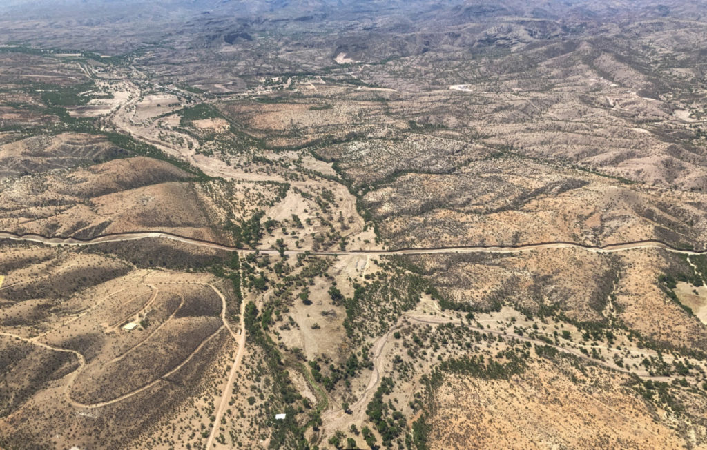
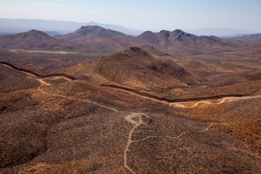
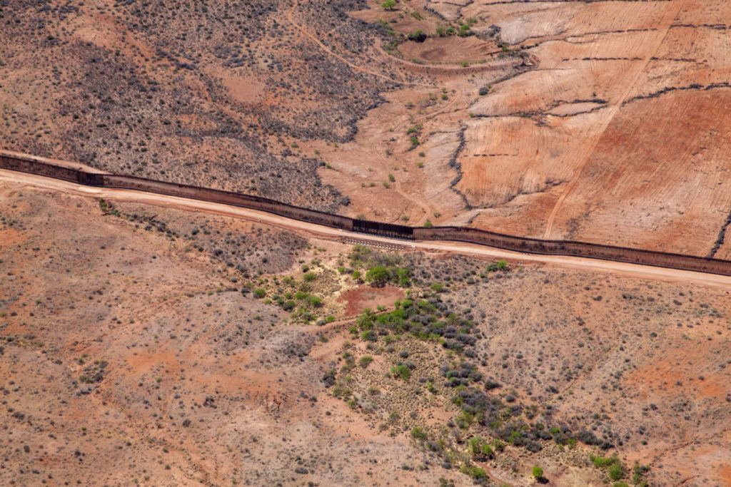
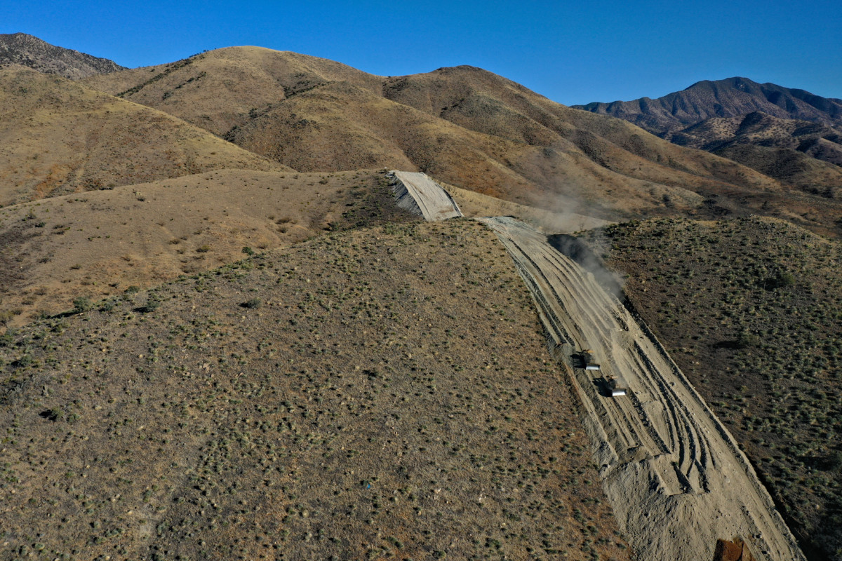
455 miles of border wall were built between the U.S. and Mexico between 2017 and 2021. The environmental damage has been severe. Learn more in this excellent story map from our allies at Wildlands Network.
A Bird’s Eye View
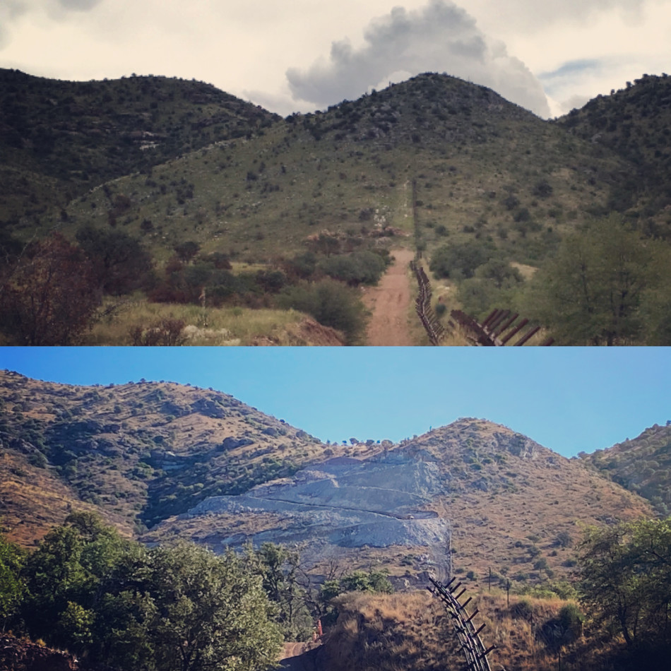
See what the borderlands looked like one year after President Biden’s inauguration and his decision to pause wall construction. In this webinar Sky Island Alliance Program Director Emily Burns hosts Greg Bedinger, a volunteer LightHawk pilot and photographer who has flown along the border many times in recent years. You’ll hear Greg’s perspective on how the borderlands have changed with evolving border policy.
Embattled Borderlands Story Map
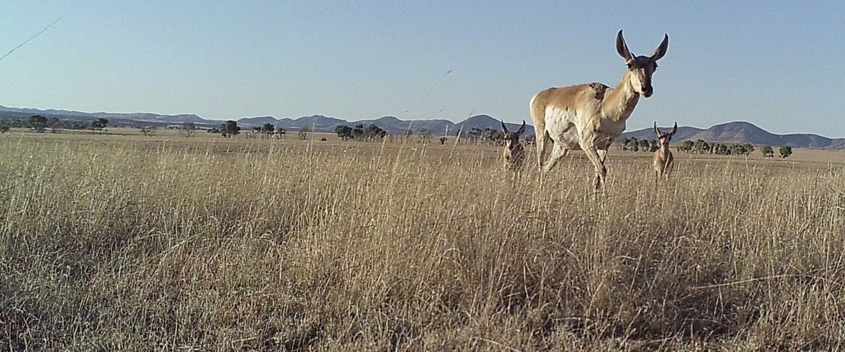
Tour the natural and cultural richness of the U.S.-Mexico borderlands in this story map created by award-winning photographer and writer Krista Schlyer. Krista collaborated with researchers, filmmakers, photographers, and conservation organizations to paint a vivid portrait of the borderlands region and the threats posed by the proposed border wall expansion.
View this story map from Krista Schlyer.
Photos From the Borderlands