We’re back this month with another installment in our Spring Seeker Stories!
This time, retired wildland firefighter and Sky Island Alliance volunteer Brit Rosso takes us on a rollercoaster of a journey through the Santa Catalina Mountains to find Agua Caliente Tank and Possible Spring. If you missed the last one, you can read Brit’s notes from his trip to Bear Spring and Grapevine Spring here.
What is Spring Seeker? This community science project is powered entirely by volunteers, like Brit, who log their observations of local springs into our mobile Spring Seeker app any time they’re out in the wild. You and your loved ones can also get involved, it’s easy! Check it out >>
Brit’s Notes from the Field:
March 31, 2021
Based on my online research, conversations with Sky Island Alliance staff, and data from their Spring Seeker Google Sheet, I knew this trip was either going to be a rugged 7-mile Jeep trip with a >1 mile hike or an 8-mile, roundtrip hike.
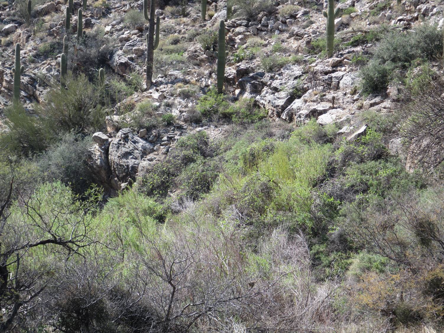
After driving up Redington Road, I located the turn-off for the FS [Forest Service] two-track out to Tuffet Tank. Fortunately, the gate was unlocked, so I decided to see how far I could make it in my Jeep. At first the two-track was pretty easy, but it progressively became more challenging. I found myself using 4WD more and more as I slowly progressed towards my destination.
The two-track continued to get tougher to navigate, and now I was using my rear e-locker and 4WD low-range at times. There were even a few spots where I needed to use low-range and both e-lockers to make it up some tough rocky sections. I would rate parts of this two-track as “Black Diamond.” There were about four gates to open and close, but eventually I arrived at my destination!
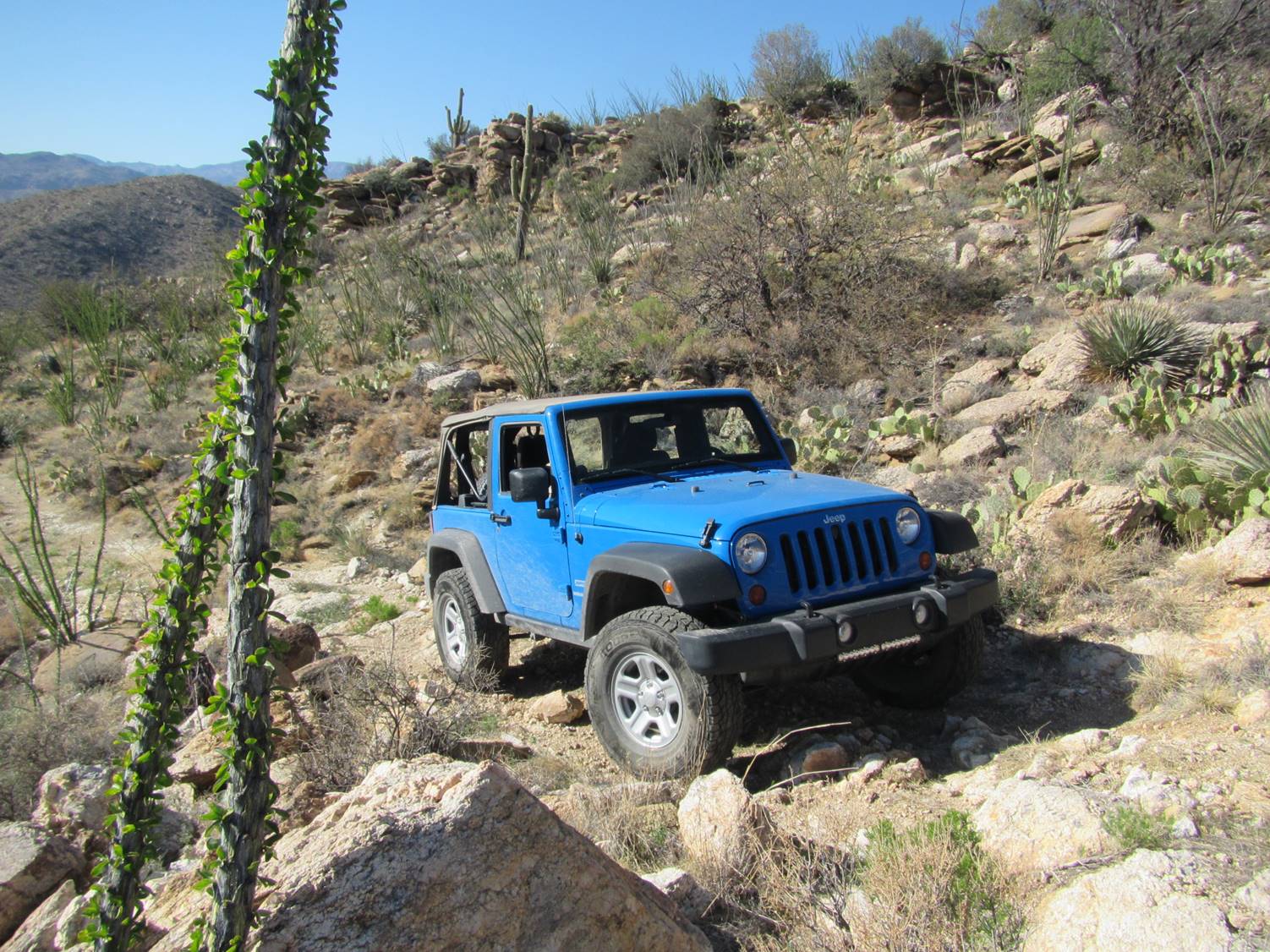
Credit: Brit Rosso
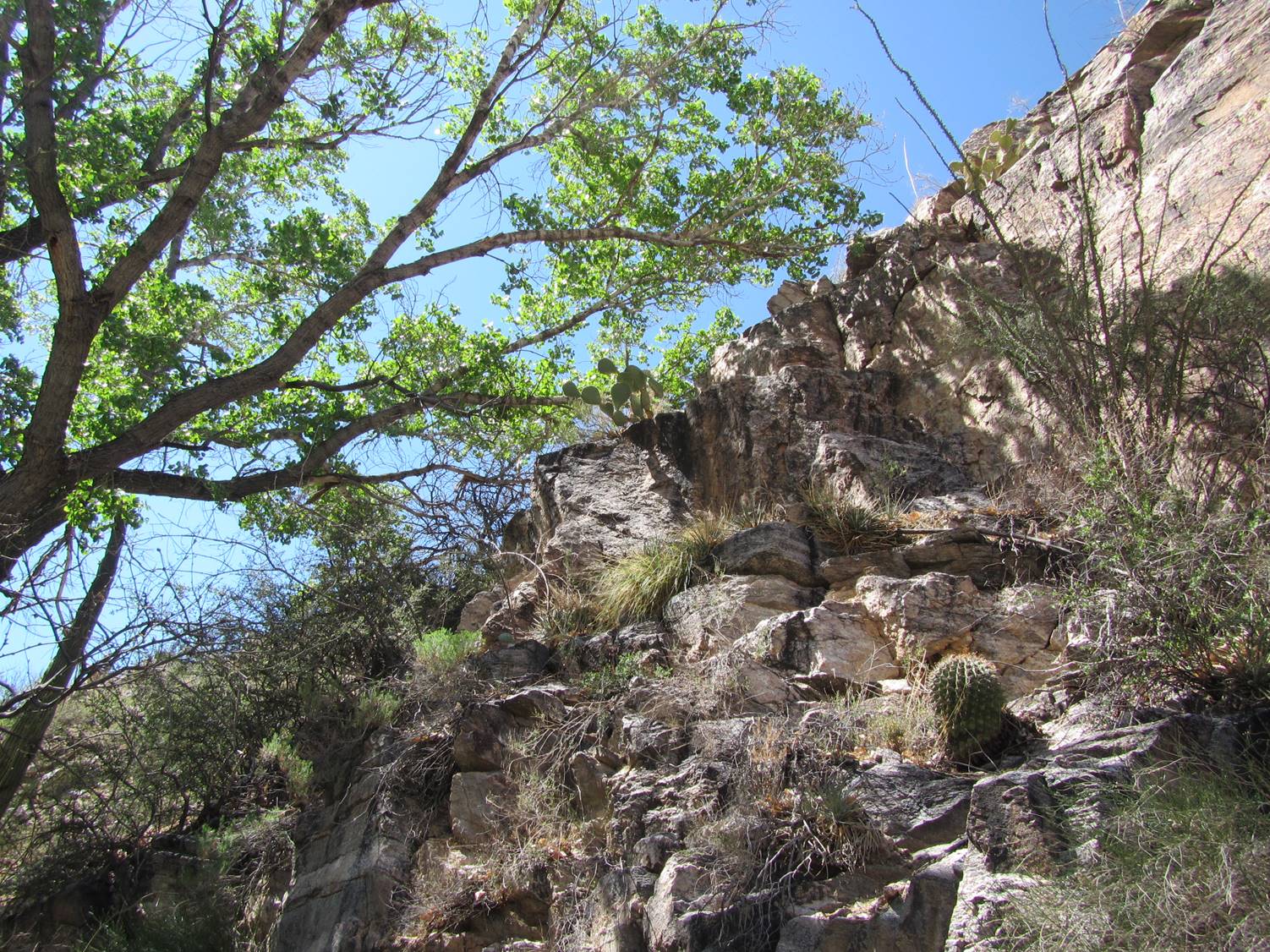
I parked my Jeep at the bone dry Tuffet Tank, shouldered my daypack, and headed west to look for the Agua Caliente Tank. I found my GAIA app leading me down into a steep, rocky drainage. When I arrived at the coordinates for the Agua Caliente Tank, there was only a dried-up natural rock pool. There were a few seep willows and some Arizona rosewood but no sign of any human improvements. I gridded all around and found nothing that looked like a tank.
Here is a photo of that site:
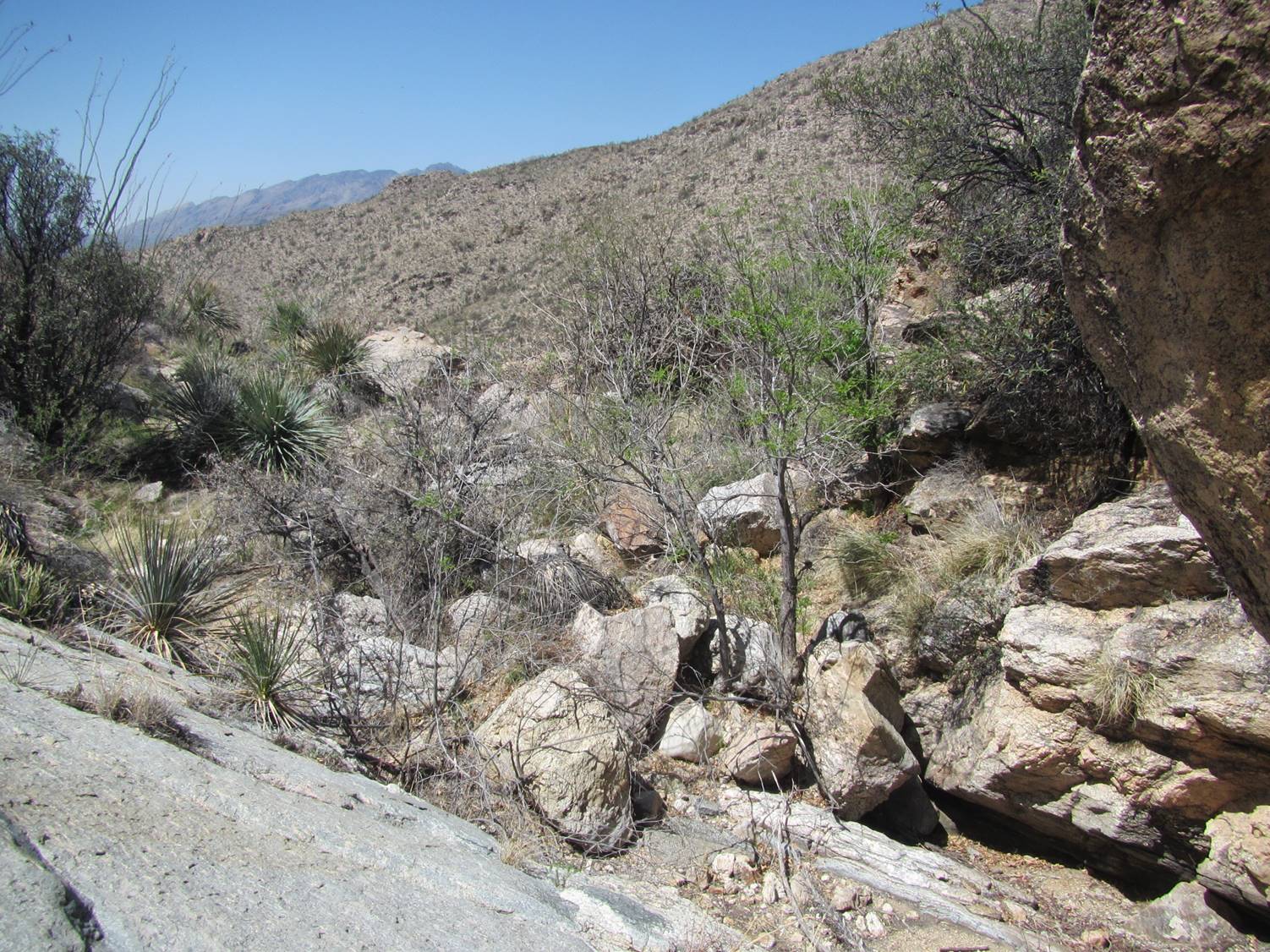
Credit: Brit Rosso
Since I needed to go look for “Possible Spring,” I hoped that the Agua Caliente Tank might be somewhere below me. I continued to carefully work my way down the canyon and eventually came across a barbwire fence. Now what the heck is this doing way down here in this canyon?
As I hiked around the fence, I looked down and saw this:
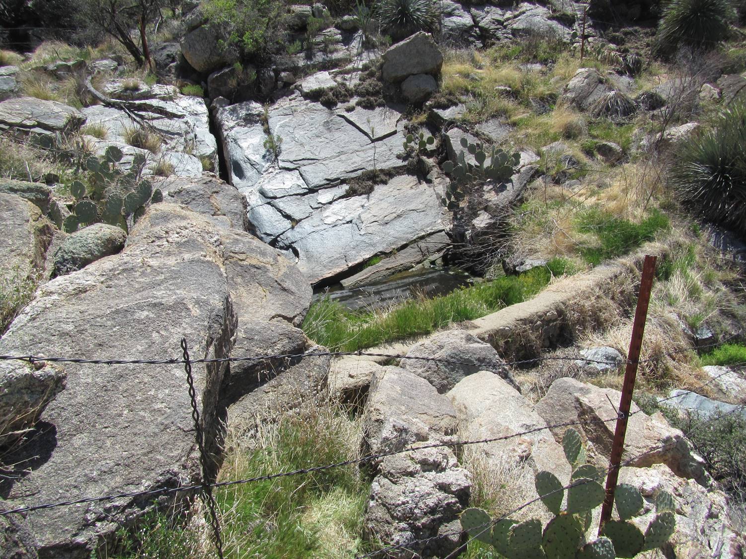
Credit: Brit Rosso
Is that water? Boy that looks like a man-made dam too! I quickly determined that this entire site was boxed in with a fence. This must be the infamous Agua Caliente Tank! I was so happy to see a viable water source for the local fauna.
I climbed under the fence and completed my Spring Survey. I slinked back out under the fence and continued downcanyon looking for the elusive “Possible Spring.” Before reaching the confluence at the bottom of the drainage, I came across a distressing site: a large slope covered in shin dagger plants. They looked like they were either dying or already dead. This exceptional drought is slowly killing our local flora.
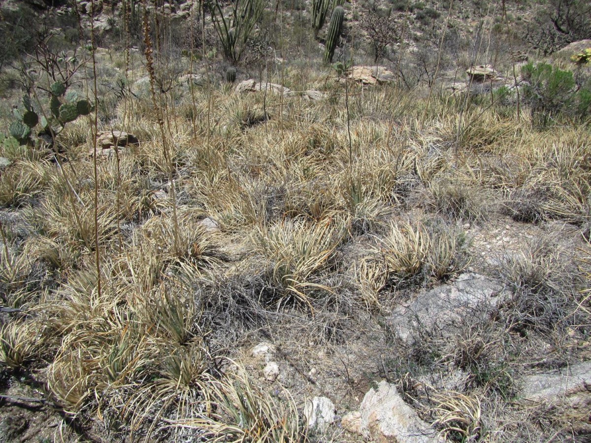
Credit: Brit Rosso
I made it down to the confluence and continued downcanyon. I spotted a lone cottonwood tree and assumed that might be “Possible Spring!” As I got closer, a Great horned owl flew out of the tree and headed downcanyon. Seeing that owl put a big smile on my face.
I made it to the cottonwood tree and decided to take a break and eat my lunch in this beautiful shady oasis. Sometimes we forget how critical these micro-climates are for our local wildlife species. The only downside was that I found clumps of Buffelgrass growing under this tree. Still, this cool shady spot was much appreciated.
Credit: Brit Rosso
After a bite and rehydrating, I continued working my way downcanyon. Eventually I came around a bend and saw what looked like some greener vegetation up on a slope. As I got closer, I checked my GAIA coordinates and determined that this must be the “Possible Spring” from my Google Earth research. Yahoo!
As I walked around this site, I was able to identify seep willow and canyon grape. I completed my Spring Survey and started hiking back upcanyon to my Jeep.
Credit: Brit Rosso
By now it was pretty darn hot, and the hike back uphill was steep with no shade. I finally made it back up to my Jeep around 3:30 p.m. I slammed some ice water and an apple, and then surveyed the Tuffet Tank. It was just a dried-up old cattle tank.
I wanted to make it back to Redington Road before dark, so it was time to go. On the way out I located two new possible springs but did not have time to survey them. I logged the coordinates and will come back to survey them another day.
I made it out to Redington Road before dark. It was quite an epic day, and it reminded me how different each Spring Seeker trip can be. Spring Seeking during this exceptional drought is challenging, but the data collected is critical for SIA [Sky Island Alliance]. I’m really looking forward to my next Spring Seeking adventure!
Have you been out Spring Seeking? If so, we would love to read and share your field notes with others. Send field notes and photos to anna@skyislandalliance.org to be featured on our blog!