In April, I had the opportunity to head up Miller Peak with Chelsey Tellez, Wildlife Monitoring Coordinator at the Arizona Trail Association (ATA). We set out with a skip in our step and a few pounds of wildlife cameras in our backpacks.
Chelsey was excited to collect data from wildlife cameras she had set out a few months ago as part of a project to document and understand how wildlife species and humans use the Arizona Trail. I was excited to help her set a few more cameras along the trail, all of which will be checked by Chelsey and the amazing crew of ATA volunteers. The data from these cameras will ultimately be submitted to the Sky Island FotoFauna wildlife monitoring network to record seasonal movements of species in the Huachuca Mountains.

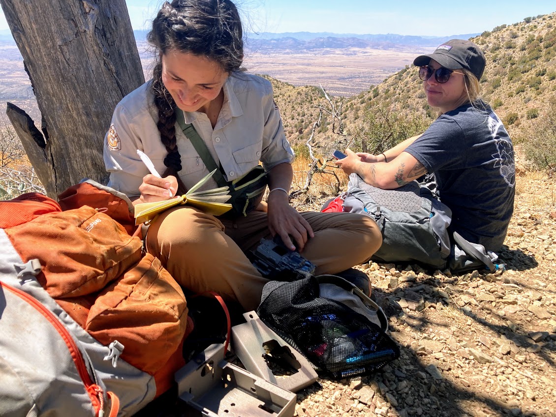
Chelsey Tellez, Wildlife Monitoring Coordinator at the Arizona Trail Association, takes notes after checking a wildlife camera set in December 2020 along the Arizona Trail.

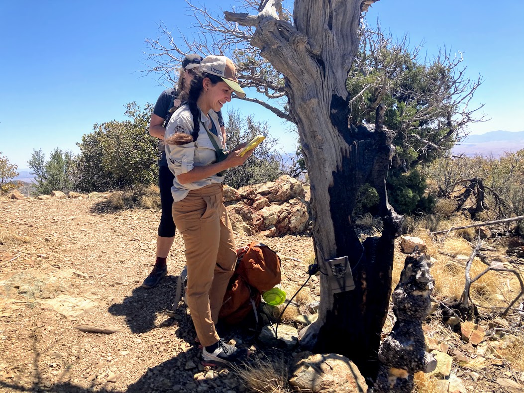
Chelsey Tellez and a volunteer from the ATA set up a new camera a few miles up the Crest Trail (Passage 1 of the Arizona Trail) in the Miller Peak Wilderness.
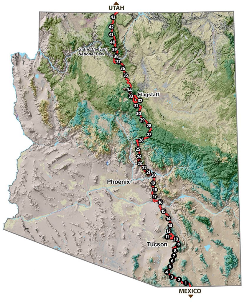
The Arizona National Scenic Trail (AZT) is an 800-mile trail that begins at the Arizona-Mexico border just south of Montezuma Pass in the Huachuca Mountains and winds its way north through the state to Utah, culminating at the Vermilion Cliffs National Monument. It guides adventurers through impressively diverse biomes, gateway communities that support trail users, and an impressive number of wilderness areas.
The AZT began in the 1970s when Dale Shewalter of Flagstaff envisioned a cross-state trail. In 1994, the Arizona Trail Association formed to “become an organized voice for the trail” and eventually established one of the premier long-distance trails of the country. Over the past year I’ve met an incredibly diverse group of hikers on the AZT—from thru-hikers or mountain bikers on a solo journey to friends and families completing it one passage at a time, with a goal to finish it at some point in their lives.
We at Sky Island Alliance are excited about our partnership with the ATA. We can’t wait to see which of our regional and migratory wildlife are sharing the trails!

