Volunteers lie at the heart of our Spring Seeker program. In 2020, 63 people helped us check over 220 springs in the U.S. and Mexico—a feat that would be impossible for staff alone.
Retired wildland firefighter Brit Rosso is one of our steadfast Spring Seeker volunteers. Not only is he dedicated to hiking rough terrains in order to document the status of springs in the region, he’s also a great writer and frequently regales SIA staff with tales of his spring-seeking adventures.
Today, we’re excited to share notes from a trip Brit took in January to Van Trap Spring and Chimney Spring in the Southern Rincon Wilderness. We hope you enjoy!
Read Brit’s Notes from His December 2020 Trip to High Spring Here >>
Brit’s Notes from the Field:
After Sami Hammer and I split up at the road junction, I followed her directions and confirmed with GAIA that I was on the right track. I made it to the State Land gate under the transmission towers and worked my way up to what I’m calling the Hidden Canyon corrals.
I confirmed that the gate at the corrals is locked and nobody had been driving past that point. I parked here and hiked up to Hidden Spring. I was disappointed to find both cattle troughs bone dry. I checked out the old shed, and then headed straight up the hill.
It was pretty slow going between the thorny vegetation and steep, rocky terrain. Once I got up on the ridgeline, I snaked my way through the ocotillo and prickly pear forest. Further up the ridge I spotted a dry waterfall! I eventually determined that this was the same drainage that Van Trap Spring was in, but it was still way upstream.
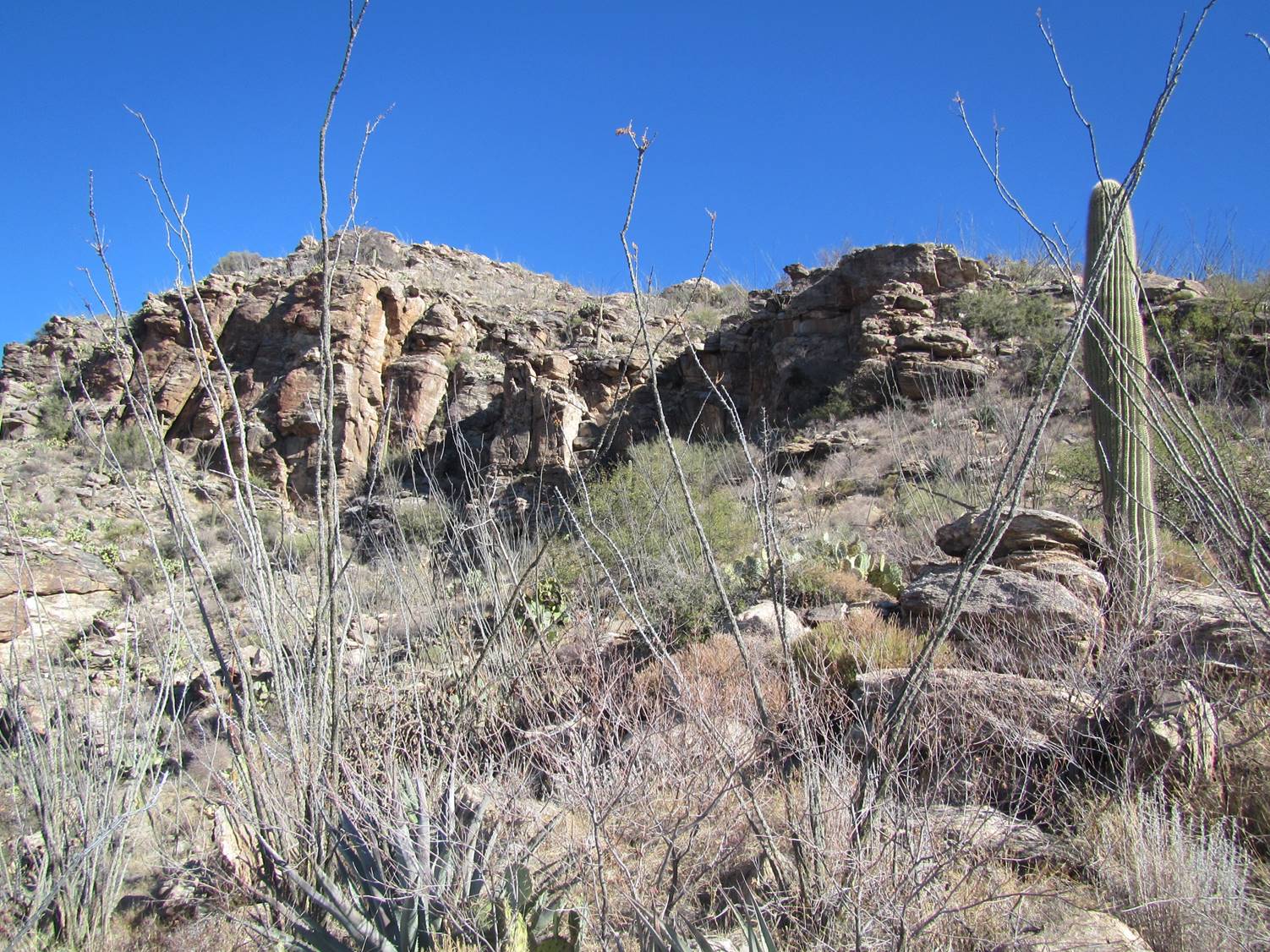
Photo Credit: Brit Rosso
I was surprised to come across a very old trail that even had a few rock cairns on it! It had not been used for a very long time, at least by humans. It looked like the local wildlife were using it here and there.
I wonder if this was an old access trail from Hidden to Van Trap spring? We will never really know.
Then I made it up and over the ridge to Van Trap Spring. What a beautiful site! The cottonwoods and other deciduous trees were bare, but it was still a wonderful place to be.
I wandered around, looking for that rock seep in the November 2012 survey photo. I found it and was disappointed to see it also dry. The top photo is from the 2012 survey and bottom one from my visit:
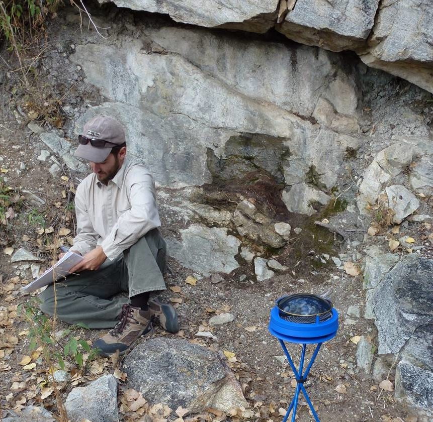
Photo Credit: Sky Island Alliance

Photo Credit: Brit Rosso
After wandering around some more, I found a nice pool of water downstream from the dry rock seep. I am unsure if the two are connected, but this was not a tinaja. Something was keeping it full.
For it to have water during this mega drought was impressive. I was so happy to see a water source for the local fauna!
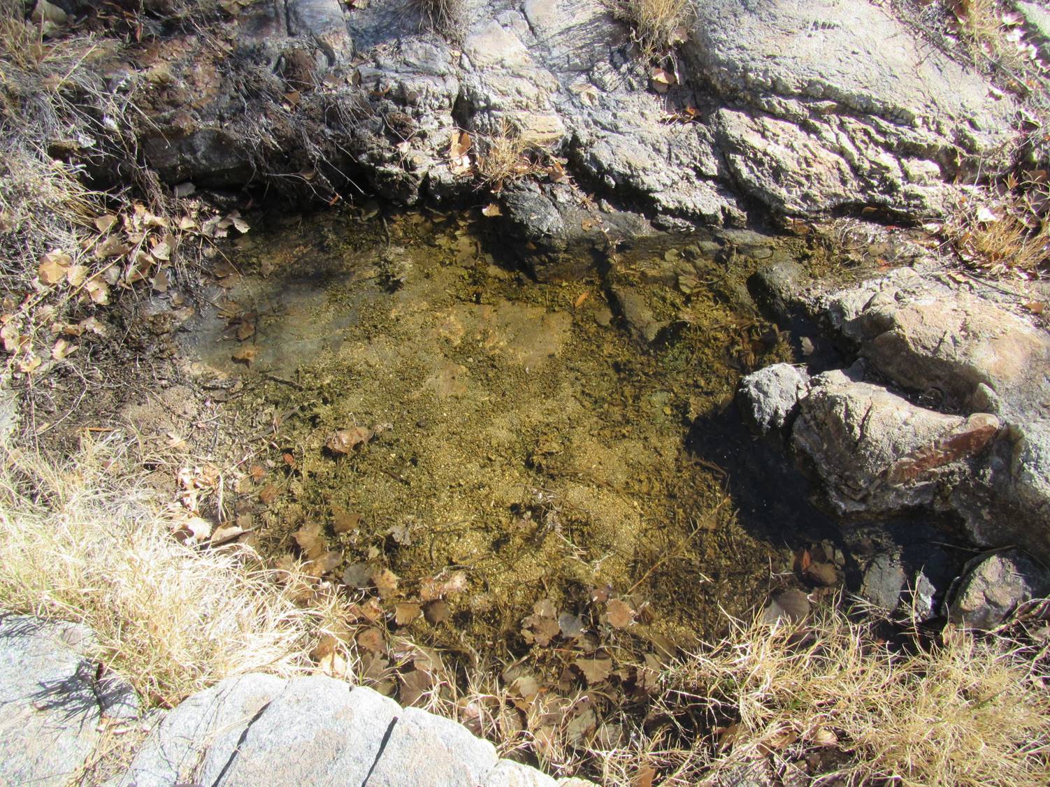
Photo Credit: Brit Rosso
I ate a smashed PB&J [peanut butter and jelly] under the cottonwoods for lunch, and then headed upcanyon and upslope in search for Chimney Spring. It was a pretty tough hike but beautiful as always!
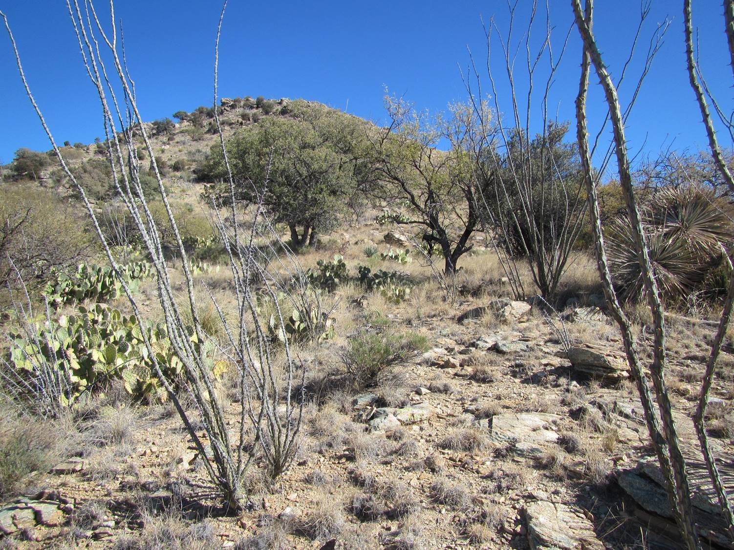
Photo Credit: Brit Rosso
Once I got to the coordinates for Chimney Spring, I started looking around for any sign of water. I found a bunch of iron pipe and some old plastic pipe but no water.
Just a bit further down canyon, I located a tinaja with a bit of water left in it! I feel that this is a tinaja and not connected to Chimney Spring, but I can’t confirm that. The lighting and shadows make it hard to see the water. It was about a foot deep, and still pretty clear.
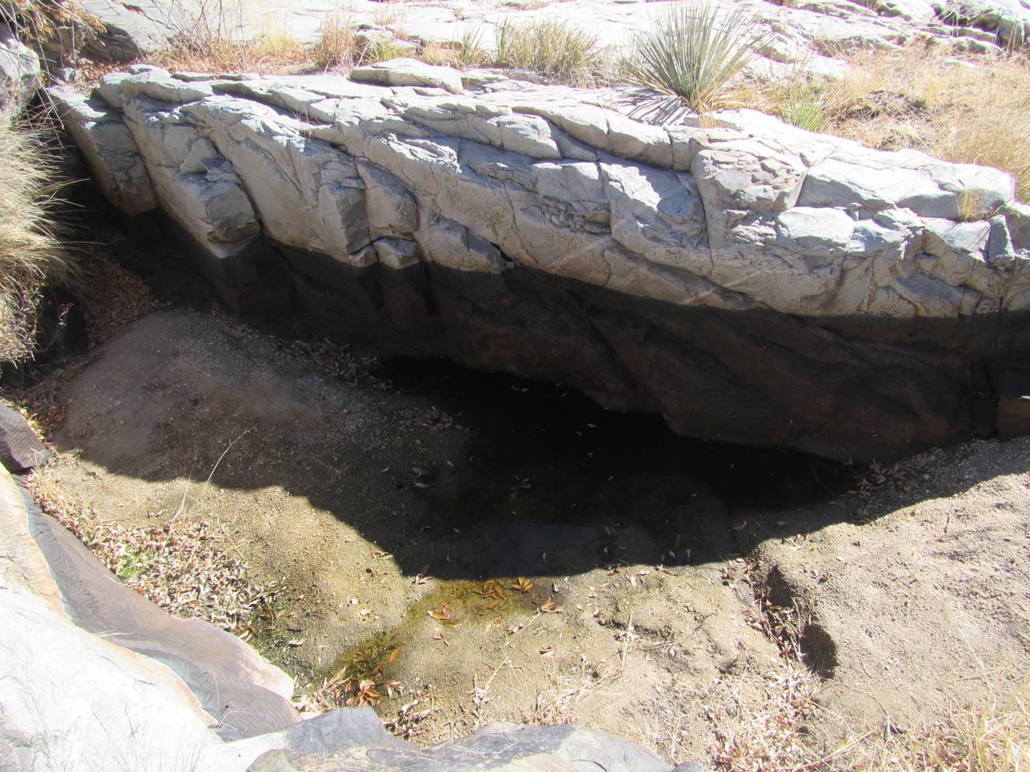
Photo Credit: Brit Rosso
I finally located a tiny seep in a rock face at the base of a rock wall and submitted that with my Spring Seeker survey. I looked up and saw some iron pipes splayed about way above me! What the heck are those doing up there? So off I go, climbing up there to take a look. This is the point where I realize there is a concrete dam up-drainage from me.
Here are the pipes looking up from the rock seep, and then the dam they used to be connected to:
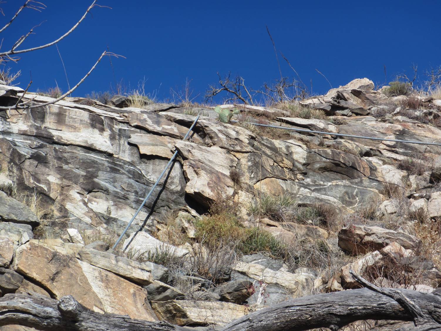
Photo Credit: Brit Rosso
The survey [of this spring] taken in March 2013 found water flowing out of the pipe at the base of this dam. I hiked over there [in January 2021] and found it to be bone dry.
So now it’s time to follow the old iron pipes down to the Unknown Tank. It was not a bad hike, but it was mostly sidehill down to the tank. The pipe is broken and no longer connected to the tank. This is a huge metal tank way deep in the Rincon wilderness. It’s like 7 feet tall and about 24 feet in diameter!
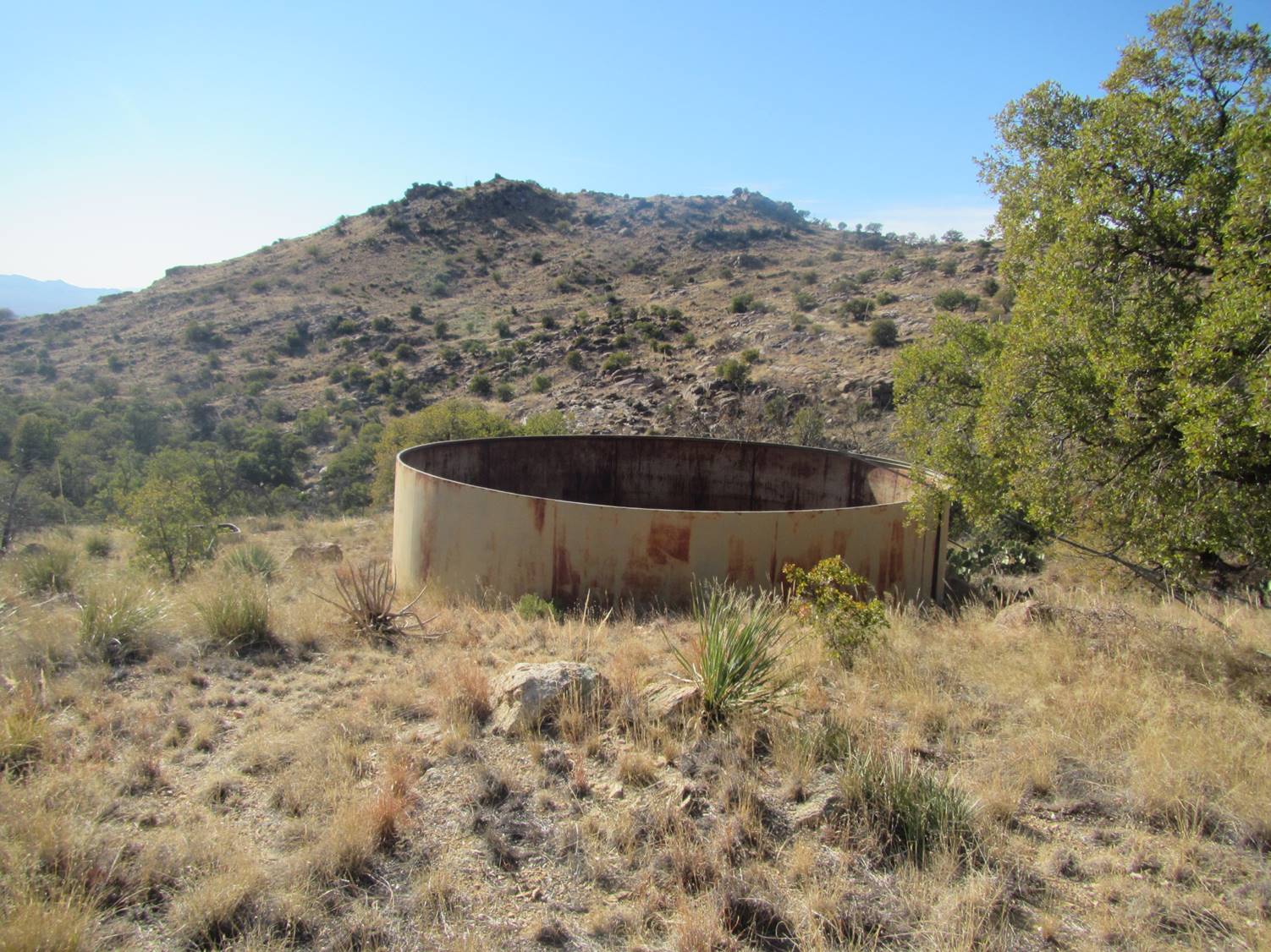
Photo Credit: Brit Rosso
With this site survey completed, it’s time to hike back down to Hidden Spring. I stayed up on the ridgeline, and it was a beautiful hike! The only challenges were the occasional fields of shin daggers and wait-a-minute brush. Once I got above Hidden Spring, I dove off the ridge down towards the spring. That was some thick vegetation, and fortunately I was able to follow a few game trails downslope.
Here are a few photos I took on the way down the ridgeline:
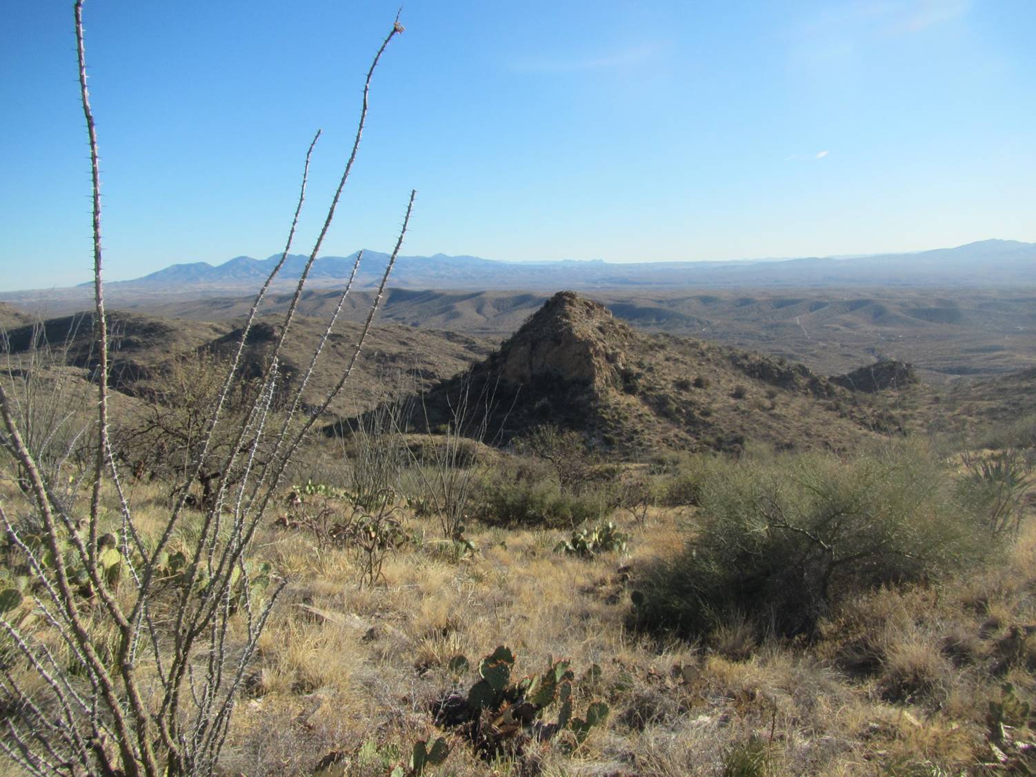
Photo Credit: Brit Rosso
I surveyed Hidden Spring, then hiked back to my truck. It was a productive and exhausting day, in a very good way!