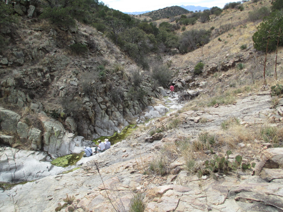
Since the launch of Spring Seeker in July 2020, Sky Island Alliance and its volunteers have been able to visit 256 springs throughout the Sky Island region of southern Arizona and Sonora, Mexico.
Visitors of these springs completed a quick survey in an app on their phone, detailing the location and state of each water source—including which ones were impacted by ongoing drought, which ones need some restoration work or protection, and which ones are intermittent (flowing seasonally) versus perennial (wet year-round). This data allows us to plan future projects. We also share it back with our partners to help them manage their resources.
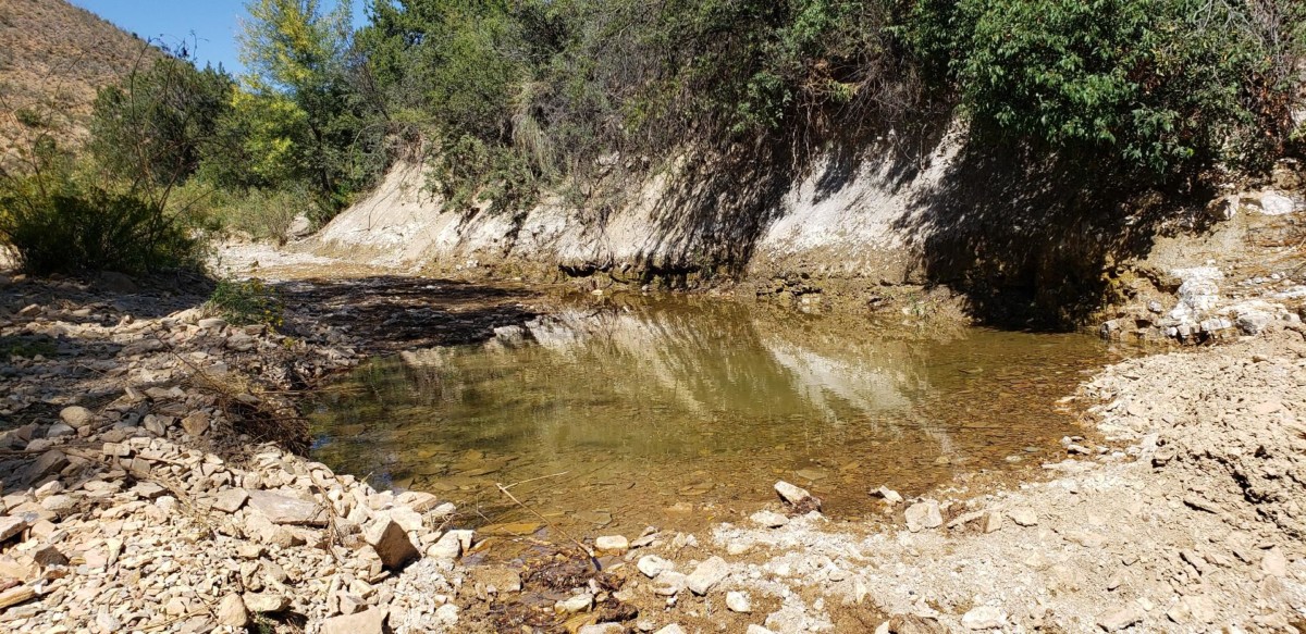
Example of a spring in the Sky Islands.

The number of Spring Seeker surveys submitted to us per month in 2020.
While last year was challenging for many, the courage and dedication of our volunteers during a pandemic allowed us to monitor spring conditions throughout many Sky Island mountain ranges. Here are a few things Conservation Director Paulo Quadri and Springs Specialist Sami Hammer learned from our spring seeking efforts in 2020.
1. A lack of monsoon rainfall showed us which springs are the most reliable and uncovered the exact locations of springs within streams that flow frequently. Sami notes that it is usually hard to tell a springflow apart from a streamflow, so although we wished for rain, the dry year was useful in some regards. The other good news is that 84% of all springs surveyed had some amount of open water—though often dramatically less than usual.
2. Unfortunately, perennial springs were also hit harder last year, no thanks to our persistent drought. Since there is so little water in the region, frequent cattle traffic to these areas has become detrimental to the integrity of the springs, eroding the soil and surrounding vegetation.
3. Most, but not all, springs surveyed in Mexico have been visited by livestock. Out of the 52 springs surveyed in Mexico, around 44 of them had livestock scat around the spring. However, this isn’t all bad! Paulo shares that he was expecting all the springs to have signs of cattle. “I was very happily surprised by the fact that some springs don’t have livestock impacts,” he says. “In Mexico that is very rare.”
4. Our volunteers have started to figure out how to “see” springs! It’s not always easy to find a spring amongst our regular flora growth and geology. Some of them can hide in plain sight if you don’t know what to search for. However, our spring seekers have started to look for the sometimes-slight signs that a spring or water source is near, including a change in vegetation, red or white staining on rocks or in the dirt (could indicate the presence of minerals), and remnants of old developments.
Related reading on common spring plants:
5. Location, location, location. In 2020, staff and volunteers visited nearly every spring in the Miller Peak Wilderness (Huachuca Mountains), and many springs and other water sources in the Santa Ritas and Pinaleños. We also visited a number of springs in the Catalina Mountains in December—where the Bighorn Fire happened—with special permission from the U.S. Forest Service to enter the burned area.
Death Trap Spring in the Whetstone Mountains, taken in 2013. Notice the abundant water.
Death Trap Spring in the Whetstone Mountains, taken in 2020. We found less water at this site than in 2013, likely due to the ongoing drought in this region.
6. Negative impacts? Know the facts. The most common impact to Sky Island springs is livestock (half of all springs surveyed in the U.S.). Following this, surveyors also detected human impacts (trails at 42% of sites, roads at 20% of sites, trash at 18% of sites, and some findings of toilet paper and campsites). While half the sites had no fire impacts, 75 of them did have burned trees.
7. What about the bright side? There’s good news too, of course. For example, we found that while invasive species do grow at spring sites, they were infrequent, and nearly half of the sites still had decent to good soil quality. We also detected few signs of mining impacts at surveyed springs, mostly adits (and only at 8 out of nearly 200 locations)—a very good thing for the region’s water health.
While we have a lot of data to celebrate and consider, our work is far from over.
In 2021, our highest priority is to survey the springs within the Bighorn Fire burn perimeter. We suspect many of these locations have been negatively impacted. Some may also need restoration work.
We will keep working on surveying waters for the U.S. Forest Service and Arizona Game and Fish Department in the San Pedro and larger Gila River watersheds, which will help both agencies defend their water rights claims at these springs and, hopefully, continue to use them for livestock and wildlife.
Of course, we still plan to continue prioritizing the springs we want to check next, including distant and isolated springs that aren’t as easy to check. As we continue to collect survey data through our Spring Seeker program, we’ll be able to identify opportunities for new stewardship projects and partnerships.
Interested in helping us check springs across the Sky Islands? Visit our Spring Seeker page to get started.