Volunteers lie at the heart of our Spring Seeker program. In 2020, 63 people helped us check over 220 springs in the U.S. and Mexico—a feat that would be impossible for staff alone.
Retired wildlands firefighter Brit Rosso is one of our steadfast Spring Seeker volunteers. Not only is he dedicated to hiking rough terrains in order to document the status of springs in the region, he’s also a great writer and frequently regales SIA staff with tales of his spring-seeking adventures.
Today, we’re excited to share notes from Brit’s December trip to High Spring in the Huachuca Mountains.
We hope you enjoy this retelling of his day as much as we did!
Brit’s Notes from the Field:
I drove up the Forest Service access road past the Unknown Tank. The road quickly turned into a rugged 4WD two-track, and eventually I stopped my truck. Between big rocks in the road and the tight squeeze past a few oak trees, I decided to find a place to park it before I did some damage to my truck and hike from there. This road is better suited for my Jeep!
I hiked up to and past the Wakefield Mine Tunnel Spring. I pulled out the app Gaia and hiked straight up the ridge to the north. Once I determined that I was at about the same elevation as this spring site, I tried to cut over into the west drainage and look for it. Boy, that was a tough route for sure!
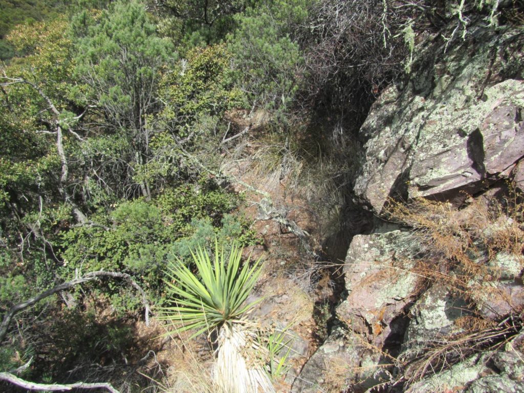
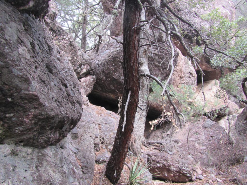
The terrain was pretty rough, and the heavy vegetation made it almost impossible to navigate. Here’s a photo of what it looked like:
I spent quite a bit of time and energy looking for the Maybe High Spring site with no luck. I’m not sure if it was the drought or if the coordinates were a little bit off. I was bummed, but I had hit my turn-around time to get back up on the ridge to search for the real High Spring.
I’m not saying Maybe High Spring is gone, but due to these short winter days, I only had so much daylight to work with. So up I go, looking for game trails, and getting down on my hands and knees crawling under the chaparral, back up the ridgeline. Once I made it up top, I slammed some food and water which recharged my batteries.
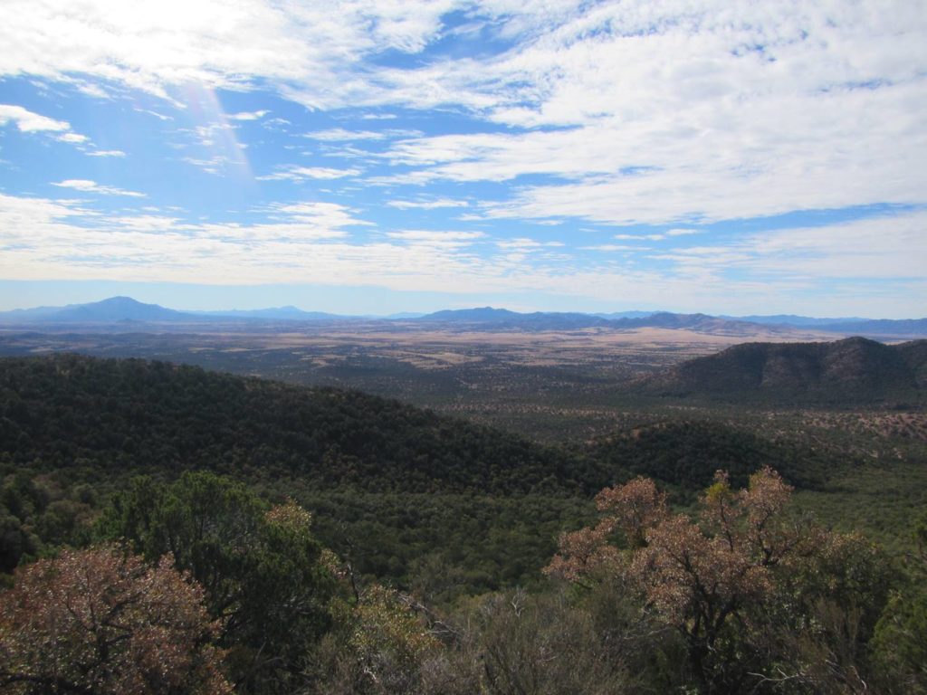
The view from the ridgeline was beautiful! Here is a shot looking way south into Mexico. Lone Mountain is on the right side of this photo.
OK, now it’s time to go find Higher High Spring, the REAL High Spring. I pulled out my trusty Gaia app and laid out a bearing to drop into the east drainage. It was slow going for sure but a bit easier than the west drainage.
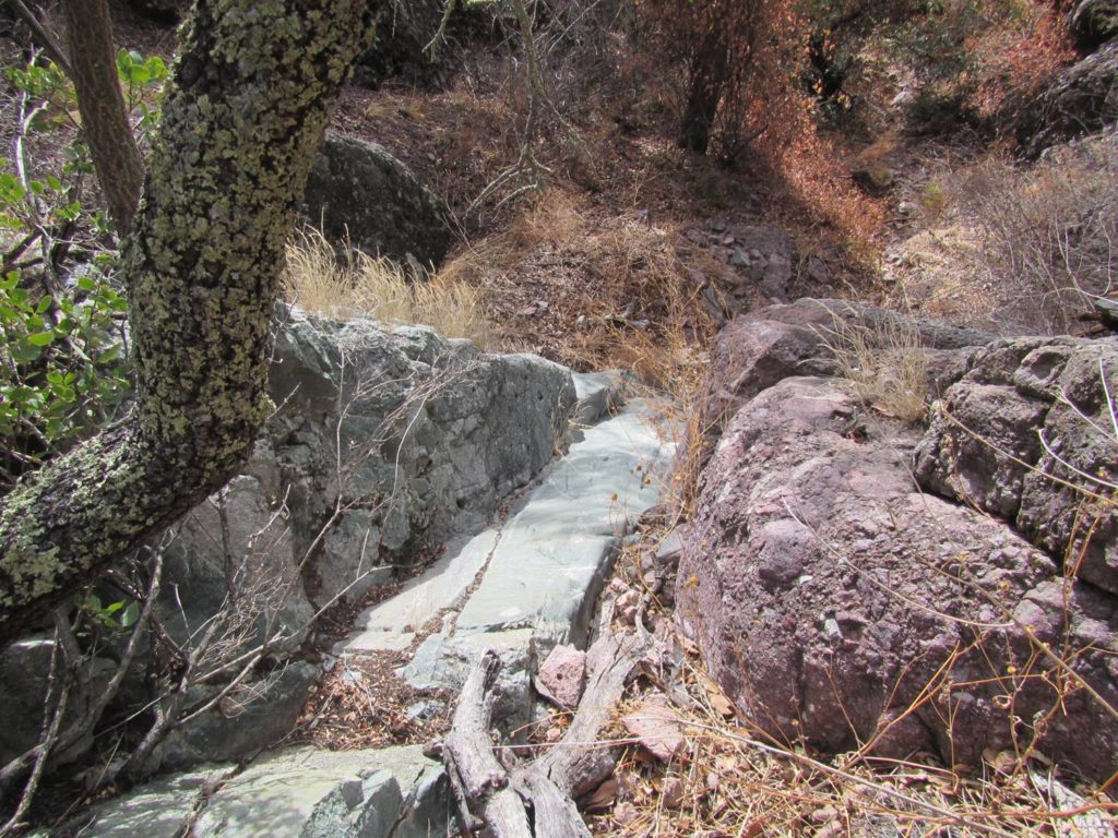
Once I hit the bottom of the drainage, I walked down canyon just a bit, and this is where I ended up:
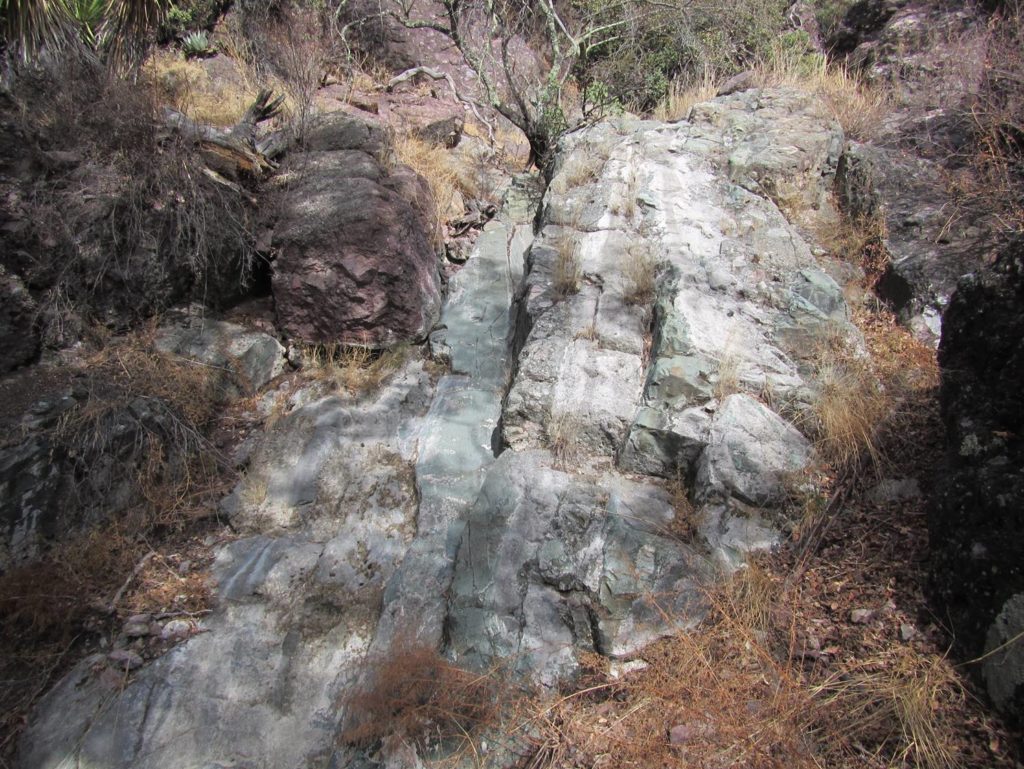
I carefully slid down this dry waterfall slick rock to the bottom. I stood there in amazement, looking up at this completely dry spring site. In my mind’s eye, all I could see was the photos Bryon took of this site back in 2017. See below for his August 2017 photo and then the one I took in the same general area. 2017 was super wet, and 2020 was totally dry.
High Spring site was totally dry. I could not even find any moist dirt. It was sad to see, but this reflects what has turned out to be the driest year in Tucson since we started to record weather statistics back in 1895. I filled out the Spring Seeker survey and moved down drainage to look for Also A Spring.
On the way down to Also A Spring, I think I may have stumbled upon Bryon’s cave, where he and his SIA partner waited out the monsoon storm back in 2017.
I located Also A Spring, but since it was late in the day, I collected the data and forgot to take photos with my camera. The photos are in the Spring Seeker survey. This spring was dry, but I did find a tiny pool of water that the fauna had been digging out to access what moisture was left. Per SIA’s request, I renamed this spring “Juniper Spring” in Spring Seeker.
I was now running out of daylight and still wanted to survey two more sites. I hiked down to my truck and drove back down to the Unknown Tank site. I surveyed this site and changed the name in my survey to “Wakefield Mine Tank.” I was able to determine that this Unknown Tank is being fed by a poly pipe hooked up to the Wakefield Mine Tunnel Spring water source.
I had one more site that I wanted to survey on my way out. It was pretty easy to access, so I parked my truck and hiked over to the Lower Lone Mountain site. I was able to locate it and collect my survey data.
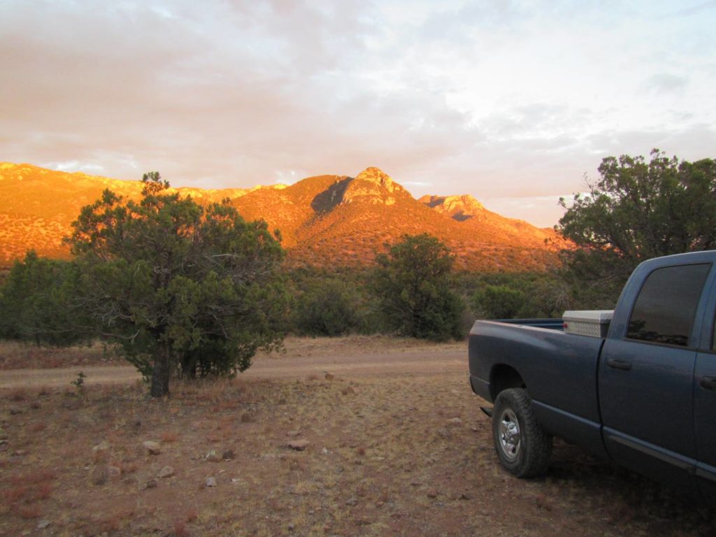
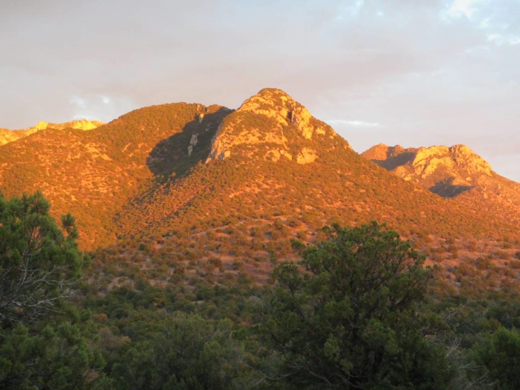
I hiked back to my truck and took these photos:
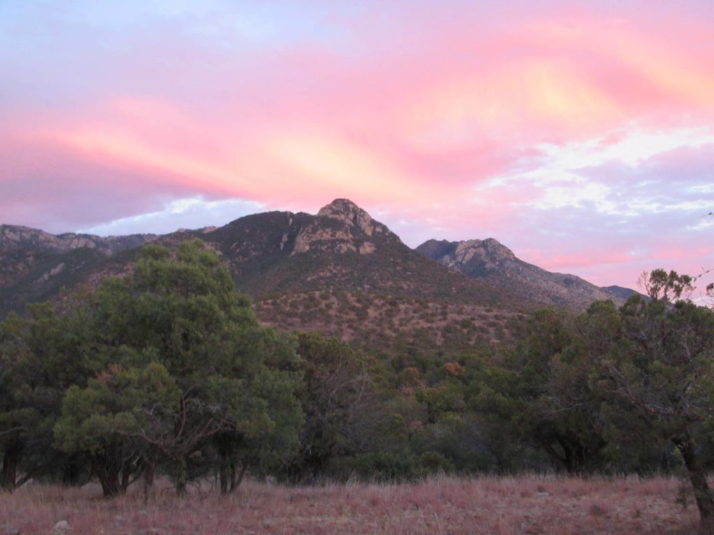
And just as I packed up to head back home, I took this photo of the same peaks.
It was an exhausting yet amazing day in the Huachucas.
Want to join Spring Seeker?
JANUARY 1 – MARCH 31: Join a group in the field for a physically-distanced spring survey!

