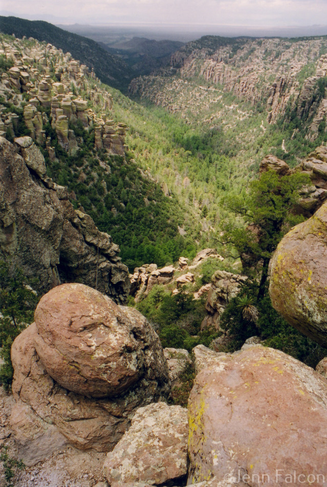
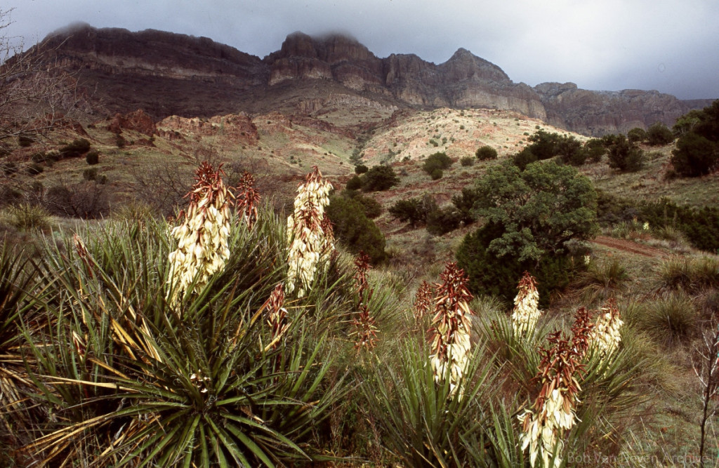
Chiricahua Mountains ©Jenn Falcon
Did you know that all of our favorite Sky Island mountain ranges are the direct result of millions of years of geological expansion, erosion, volcanic activity, landslides, snow melt, and other natural events?
Island Mountains of Southeastern Arizona: Geology, Vegetation, and Wildlife, a booklet authored by Dr. John Bezy and F.M Conway (published by the Arizona Geological Survey), describes the incredible and complex history, habitats, and composition that make up eleven popular Sky Island ranges, including the Santa Catalina mountains in Tucson and the Huachuca Mountains near Sierra Vista.
To celebrate our unique Sky Island geology, here are twenty fun facts for you about the mountains. (These facts have been adapted from Bezy and Conway’s booklet, which you can read here.)
General Facts:
1. Between 5 and 15 million years ago, the crustal rocks of the American West expanded. Some of this expansion lifted, creating mountain ranges. Some of it caved, creating basins. The water that ran down these lifted ranges carried the sediment (boulders, sand, minerals, clay) that now covers our bedrock.
2. The oldest exposed rock we can see in southeastern Arizona is called the Pinal Schist, which formed 1,650 million years ago. The Pinal Schist originally consisted of sediments, but when it eventually underwent a period of high heat and pressure, it melded into a rock layer that became a foundation for new sediments to sit on.
3. Geologists and researchers have discovered a “time gap representing at least 600 million years of geological history” in Arizona’s sedimentary rock. They believe this time gap means either no new sedimentation was placed during the 600 million years or that new sedimentation “was deposited but was later removed by erosion.” (Source: Island Mountains, page 7).
4. Geological processes continued to happen in several Sky Island ranges until about 5 million years ago. These processes formed the basin and range topography we see across Arizona today.
5. Most of the tan-colored rock we see today—usually igneous rock (formed by magma), sedimentary rock (formed by accumulating particles), and metamorphic rock (formed through high heat, pressure, and friction)—is not really tan. Their true colors are obscured by a patina of iron and manganese oxide.
6. Many of our Sky Island ranges were formed or transformed by magma or ash flows. This activity created many beautiful formations like the Owl Head Buttes in the Tortolita Mountains.


Wildlife Facts:
7. The “cold air drainage” that runs down mountain canyons affects the range in which certain plants can grow. Flora that grows at lower elevations are often adapted to warmer temperatures, so they’ll stay lower to avoid the cold airflow. On the other hand, flora that grows at higher elevations are adapted to cooler temperatures, so they’ll appear at multiple elevations thanks to the cold airflow.
8. “Plants of each zone reach their upper limits on south-facing slopes and their lower limits on north-facing slopes” (Source: Island Mountains, page 9). This is because southern slopes get more sun and less water, whereas northern slopes have more shade and moisture.
9. The geology of our mountain ranges supports nine life zones that scale from the lowest elevations (4,000 ft) to the highest (nearly 11,000 ft). These are: Sonoran Desert scrub, desert grassland, open oak woodland, canyon woodland, pine – oak woodland, pine – oak forest, pine forest, montane fir forest, and subalpine forest. The Pinaleño Mountains and the Santa Catalina Mountains are two of the ranges in southeastern Arizona that reach the highest life zone (subalpine forest).
Range-Specific Facts:
10. The Santa Catalina Mountains are well known for their “dome-like” appearance, a contrast to most ranges’ sharp ridges. During their formation, the rocks (especially granite) experienced heat, pressure, and friction that caused them to become “so hot that they flowed like putty.” The Santa Catalina, Rincón, and Tortolita Mountains were all formed at the same time. (Source: Island Mountains, page 19.)
11. If you follow the first few miles of the Cactus Forest Drive in the Rincón Mountains, you’ll be able to see the exposed Pinal Schist layer, some of the oldest rock exposed in Arizona.
12. Heat from volcanic activity in the Tortolita Mountains caused much of the limestone and sandstone in this range to transform into marble and quartzite, which was later mined. Copper and silver were also mined after being deposited by mineral-laden groundwater around 20 million years ago.
13. The Santa Rita Mountains, one of the highest mountain ranges in southeastern Arizona, “are of particular geological importance because they contain the most complete sequence of rock” in the area. This complete sequencing (spanning 1,650 million years) helped researchers better understand the timeline of geological formation in southeastern Arizona. (Source: Island Mountains, page 50.)
14. The Tucson Mountains were created by a volcanic eruption some 70 million years ago. The eruption displaced the mountain’s older rock and fused it into newer rock formations called “welded tuff.”
15. The Galiuro Mountains are “capped by rhyolite and andesite ash flows” from a large volcanic eruption. Rocks from this eruption, and other nearby activity, can be found across the Southwest. (Source: Island Mountains, page 63.)
16. The Pinaleño Mountains are one of the few Sky Island ranges that don’t have economic levels of metals.
17. The canyons in the Chiricahua Mountains are deeper on the eastern side than the western side due to the San Simon Valley sinking about 1,000 feet lower than the Sulphur Springs Valley.
18. The Mule Mountains experienced several episodes of mineralization by “hot, acidic, mineral-bearing solutions” which created deposits of lead, zinc, copper, gold, silver, and iron. (Source: Island Mountains, page 81.)
19. The Huachuca Mountains are known for their complex geological makeup. “Repeated folding and faulting … deformed most of the rocks in this range” and similar mineralization to the Mule Mountains created large mineral and metal deposits in the limestone. Frequent fault activity in this range has also caused streams to run along the faults. (Source: Island Mountains, page 86.)
20. The Whetstone Mountains contain “the most complete stratigraphic section of Pennsylvanian and Permian rocks in the region.” Slightly acidic groundwater cut through the limestone over time to create the passages and caves that are now known as the Kartchner Caverns. (Island Mountains, page 91.)
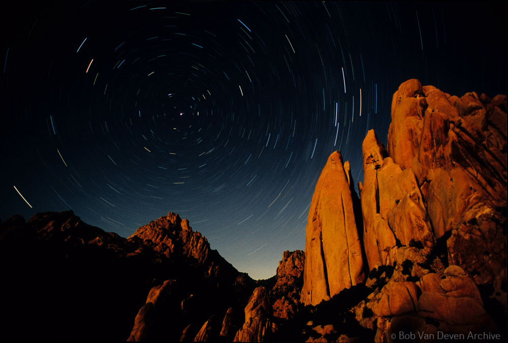
Cochise Stronghold, Dragoon Mountains (c) Bob Van Deven Archives.